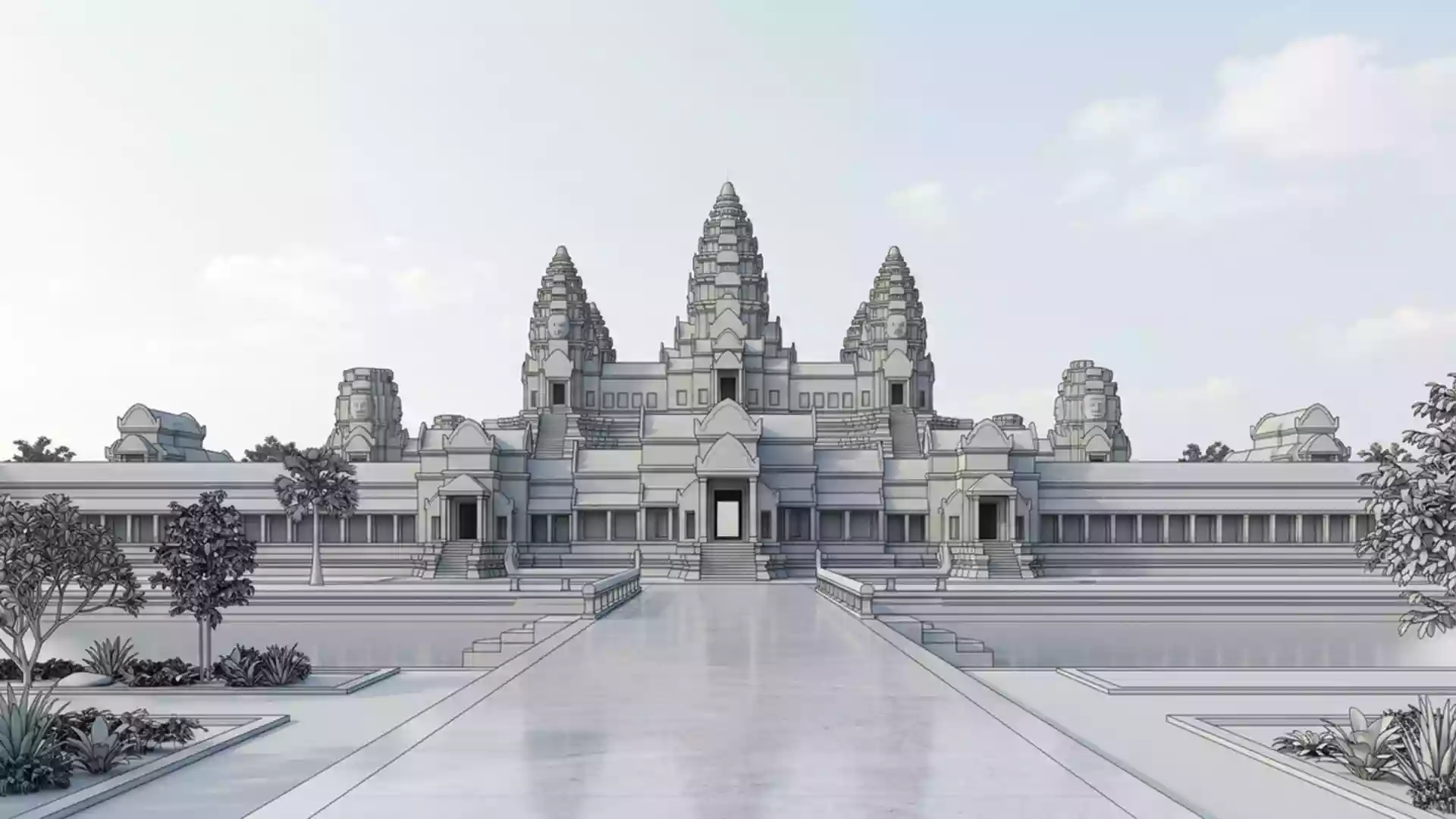
Angkor Thom, the walled Khmer city at Angkor
Published on 08/14/2026 at 14:13 | Editorial responsibility: Rafael Müller, Editor-in-Chief AD HOC NEWS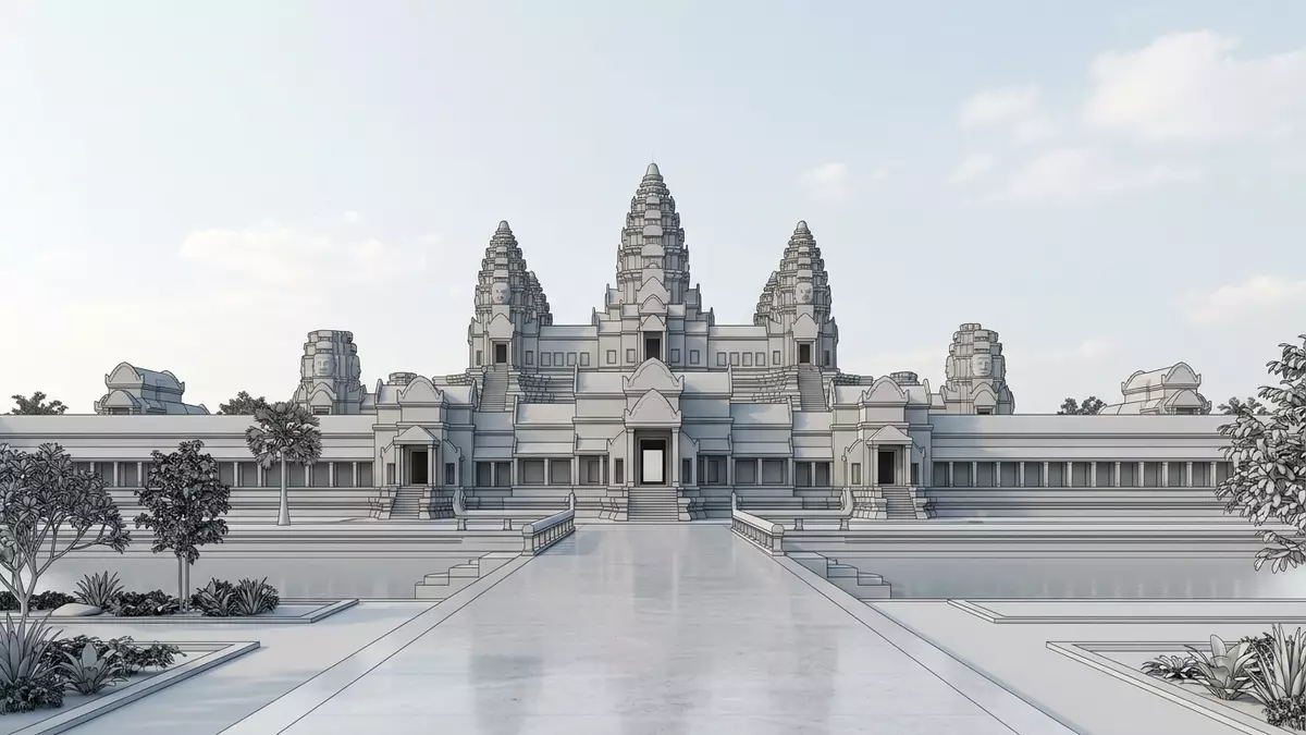
Angkor Thom near Siem Reap is a monumental walled Khmer royal city, laid out on a vast square plan and enclosed by high laterite walls and broad moats that still shape the landscape of Angkor. Established in the late twelfth century as the last capital of the Khmer Empire under King Jayavarman VII, it gathers temples, terraces and gateways into one coherent stone city whose scale and geometry remain legible on the ground.
The Great City of Jayavarman VII
Angkor Thom, whose name means “Great City” in Khmer, was founded as the final and most enduring capital of the Khmer Empire during the reign of King Jayavarman VII in the late twelfth century.Great City The royal city lies within the wider Angkor Archaeological Park north of Siem Reap and occupies an area of roughly 9 square kilometres inside its defensive perimeter.approximately 9 square kilometres Its layout follows a square grid, oriented to the cardinal points, which reflects the way Angkor rulers aligned their cities and temples with cosmic order.
The city stands on the west bank of the Siem Reap River, a tributary of the Tonle Sap lake, and forms part of the wider urban and ritual landscape of Angkor.west bank of the Siem Reap River Within its enclosure are major monuments from different periods, including the Bayon temple at the centre and earlier structures incorporated into Jayavarman VII’s redesign of the capital.major monuments from different periods Stone causeways, terraces for royal ceremonies and subsidiary shrines create an urban fabric in which religious and royal spaces intertwine.
Walls, moats and monumental gates
The defining feature of Angkor Thom is its system of fortifications: a laterite wall around 8 m (26 ft) high runs for about 12 km around the city, reinforced on the inside by an earthen rampart and bordered outside by a moat about 100 m (328 ft) wide.8 m high wall and 100 m moat The wall forms a near?square enclosure, with each side measuring close to 3 km (1.9 miles), and creates a clear boundary between the royal city and the surrounding plain.square, each side about three kilometres
Five main gates pierce the walls at the cardinal points, with two entrances on the eastern side and single gateways in the north, west and south walls.five gates Each gate is approached along a stone causeway lined by monumental figures representing gods and demons gripping a naga, a multi?headed serpent, in a sculpted rendition of the Churning of the Ocean of Milk.Churning of the Ocean of Milk Above the gateways rise towers carved with serene faces, signalling the transition from the outer world into the ordered space of the royal city.
Bayon and the inner city
At the physical centre of Angkor Thom stands the Bayon, the richly decorated state temple built for Jayavarman VII in the late twelfth or early thirteenth century.constructed c. 1200 The temple rises as a multi?level stone mountain, its upper terraces crowned by towers bearing large, softly smiling faces that look toward the four cardinal directions.faces looking to the four cardinal points Inside, galleries carry long bas?reliefs that depict battles, processions and scenes of everyday life around Angkor, giving the inner city a narrative carved into stone.
Around Bayon extend other key structures of the capital. To the north lies the royal palace area and the Terrace of the Elephants, a long platform faced with carved elephants and other figures that formed part of the setting for royal audiences.royal palace area and terraces Nearby is the Terrace of the Leper King, with dense reliefs of mythological beings in stone. Smaller temples and shrines stand within the grid of streets, and reservoirs and ponds punctuate the city plan, reflecting both ritual and practical functions in the Angkor period.
Visiting Angkor Thom: what travellers from Western Europe should know
- Angkor Thom lies within the Angkor Archaeological Park north of Siem Reap; the south gate stands a short distance north of the main approach road to Angkor Wat.
- The terrain inside the city combines level stone causeways with uneven temple steps and terraces; visits involve walking over worn sandstone blocks and climbing stairways within the monuments.
- Angkor Thom is in Cambodia, where the official language is Khmer and the currency is the Cambodian riel.
- Entry requirements depend on your nationality; UK travellers can check the FCDO travel advice at gov.uk/foreign-travel-advice, Irish travellers the Department of Foreign Affairs at ireland.ie.
Searching for Angkor Thom on social platforms
These links open searches for Angkor Thom on each platform.
Frequently asked questions about Angkor Thom
Where is Angkor Thom located?
Angkor Thom is a historic walled royal city within the Angkor Archaeological Park near Siem Reap in Cambodia, on the west bank of the Siem Reap River.
What can visitors expect inside Angkor Thom?
Visitors encounter high stone walls, moats, monumental gates with sculpted figures, the Bayon temple with its carved faces, royal terraces and smaller shrines linked by causeways.
What makes Angkor Thom distinctive among Angkor sites?
Angkor Thom stands out through its vast square city plan, complete defensive system of walls and moats, and the concentration of late twelfth?century royal monuments centred on Bayon.