
Aoraki / Mount Cook and the high alpine world above Mount Cook Village
Published on 08/28/2026 at 17:14 | Editorial responsibility: Rafael Müller, Editor-in-Chief AD HOC NEWS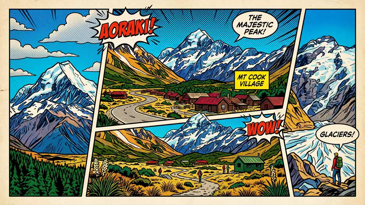
Aoraki / Mount Cook rises above Mount Cook Village as New Zealand’s highest mountain, a permanently snow-clad summit embedded in the Southern Alps. The peak gives its name to Aoraki / Mount Cook National Park, an alpine landscape where steep rock, extensive glaciers and a small settlement share a narrow mountain valley.
The highest peak in New Zealand’s Southern Alps
Aoraki / Mount Cook stands in the central part of New Zealand’s South Island, within the mountain chain known as the Southern Alps. The peak’s elevation is given as 3,724 m (12,218 ft), making it the country’s highest summit and a defining landmark of the surrounding range.New Zealand’s highest mountain The mountain forms a serrated ridge rather than a single point, with several summits arranged from south to north and catching snow and ice across their flanks.
The broader alpine setting is densely packed with other high peaks, many reaching elevations above 3,000 m (9,843 ft). Within Aoraki / Mount Cook National Park there are numerous glaciers, including valley glaciers that run down towards the floor of the main valley system.A rugged land of ice and rock The permanent snow cover on the upper slopes, visible for much of the year, reinforces the mountain’s role as the focal point of this glaciated landscape.
Aoraki / Mount Cook National Park and Mount Cook Village
The mountain sits at the heart of Aoraki / Mount Cook National Park, an area of high peaks, glaciers and steep-sided valleys in the Canterbury Region on the South Island.The national park in Canterbury The park covers several hundred square kilometres and stretches along the spine of the Southern Alps, sharing a boundary with Westland Tai Poutini National Park along the main divide of the range.An alpine park on South Island Within this protected area, glaciers occupy a substantial part of the terrain, filling high basins and flowing down major valleys.
Mount Cook Village lies within the national park at the end of a single access road, State Highway 80, which follows the shore of Lake Pukaki before entering the upper valley.Aoraki / Mount Cook village in the valley The settlement sits a short distance south of the mountain itself and serves as the main base for visitors exploring the surrounding peaks, glaciers and walking tracks. Buildings in the village are clustered on the valley floor, with accommodation, visitor facilities and guiding services arranged around a compact street network beneath steep mountain walls.
M?ori heritage and a century of mountaineering
The name Aoraki comes from te reo M?ori and is often translated as “cloud piercer”, reflecting the way the summit rises into weather systems crossing the Southern Alps.The M?ori name Aoraki The dual name Aoraki / Mount Cook combines this Indigenous name with the later English designation honouring the British navigator James Cook, linking the mountain’s identity to both M?ori tradition and European exploration. The wider national park forms part of Te W?hipounamu – South West New Zealand, a World Heritage Area recognised for its natural and cultural significance.Te W?hipounamu World Heritage
Mountaineering history on Aoraki / Mount Cook reaches back to the nineteenth century, when climbers first ascended the summit in 1894.First recorded ascent in 1894 In the following decades the mountain became an important training ground for alpinists, including climbers preparing for expeditions to higher ranges overseas. Within the national park, a network of huts, tracks and guiding operations grew up around this activity, and Mount Cook Village developed as a centre for both serious climbing and more accessible valley walks. The combination of glaciated terrain, steep ridges and established access routes continues to shape how visitors experience the area.
Visiting Aoraki / Mount Cook: what travellers from Western Europe should know
- Aoraki / Mount Cook and Mount Cook Village lie on New Zealand’s South Island, in the Canterbury Region, reached by State Highway 80 from the Lake Pukaki area.
- The terrain around the village and within Aoraki / Mount Cook National Park is high mountain country, with steep slopes, uneven rocky ground and walking tracks that can involve substantial ascent.
- The surrounding Southern Alps carry extensive glaciation, and snow lies on the higher peaks; weather conditions in the valley and on the mountains can change quickly.
- The official language is English and the currency is the New Zealand dollar.
- Entry requirements depend on your nationality; UK travellers can check the FCDO travel advice at gov.uk/foreign-travel-advice, Irish travellers the Department of Foreign Affairs at ireland.ie.
Searching for Aoraki / Mount Cook on social platforms
These links open searches for Aoraki / Mount Cook on each platform.
Frequently asked questions about Aoraki / Mount Cook
Where is Aoraki / Mount Cook located?
Aoraki / Mount Cook stands in the Southern Alps on New Zealand’s South Island, within Aoraki / Mount Cook National Park in the Canterbury Region, above Mount Cook Village.
What should travellers expect on a visit?
Travellers encounter a high alpine landscape with steep peaks, extensive glaciers and a compact village on the valley floor, with walking tracks and mountaineering routes radiating into the surrounding mountains.
What makes Aoraki / Mount Cook distinctive?
The mountain is New Zealand’s highest summit, carrying a M?ori name that means “cloud piercer” and anchoring a World Heritage-listed national park of glaciated peaks and valleys.


