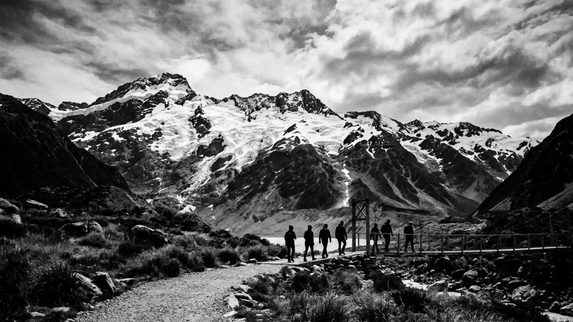
Aoraki / Mount Cook National Park of ice, rock and high peaks
Published on 09/02/2026 at 14:06 | Editorial responsibility: Rafael Müller, Editor-in-Chief AD HOC NEWS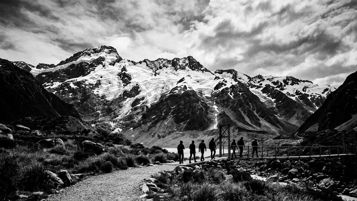
Aoraki / Mount Cook National Park is an alpine landscape of glaciers, steep ridges and high summits above Mount Cook Village in the Canterbury region of New Zealand’s South Island. Established in 1953 and spanning around 707 km² (273 sq mi), it forms part of the Te Wahipounamu World Heritage area and takes its name from Aoraki / Mount Cook, the country’s highest mountain.Established in 1953 and other alpine parks together define one of New Zealand’s most dramatic protected regions.Te Wahipounamu World Heritage area
An alpine park built around New Zealand’s highest peak
The defining feature of Aoraki / Mount Cook National Park is Aoraki / Mount Cook itself, a permanently snow-clad summit rising to 3,724 m (12,218 ft) in the Southern Alps/K? Tiritiri o te Moana.Aoraki / Mount Cook stands among a cluster of peaks that reach above 3,000 m (9,842 ft), giving the park a skyline of serrated ice ridges and rock faces that frame the valleys below.19 peaks over 3,000 metres
The park runs along a segment of the Southern Alps and shares a boundary with Westland Tai Poutini National Park along the Main Divide, connecting it to a wider chain of protected mountain landscapes on the South Island.Southern Alps boundary Mount Cook Village lies near the eastern side of the park and serves as the settlement at the end of the valley road, surrounded by peaks, glaciers and rivers that define daily life with an alpine backdrop.
Glaciers, valleys and rock: a landscape shaped by ice
Aoraki / Mount Cook National Park is described as a rugged land of ice and rock, and around 40 percent of its area is covered by permanent snow and glacial ice.Permanent snow and glacial ice Large valley glaciers such as Haupapa / Tasman Glacier, Hooker Glacier, Mueller Glacier and Murchison Glacier lie between high ridges, with their lower reaches ending at lakes in the surrounding valleys.Tasman and Hooker valley glaciers
The Tasman, Godley and Murchison rivers flow out from glacier systems that begin high in the park, carrying meltwater through wide valleys framed by moraines and exposed rock slopes.Tasman, Godley and Murchison rivers Holocene glacier forelands here are characterised by substantial lateral moraines and multi-ridged moraine systems, giving the valley floors a layered pattern of gravel ridges and boulder fields left by retreating ice.Holocene glacier forelands
Plants, wildlife and dark sky above the Southern Alps
Despite the dominance of rock and ice, Aoraki / Mount Cook National Park supports a variety of alpine plant species, including tussock grasses, alpine scrub, tree daisies and beech in suitable areas, with one notable forested zone in the Hooker Valley.Alpine vegetation More than thirty species of birds have been recorded in the park, among them the kea, regarded as an alpine parrot, and the black stilt, a wading bird that has become rare in the region.Bird species including kea and black stilt
Aoraki / Mount Cook National Park belongs to the wider Te Wahipounamu World Heritage area and has also been recognised as part of the Aoraki/Mackenzie International Dark Sky Reserve, reflecting the quality of night skies above its valleys and peaks.Aoraki/Mackenzie International Dark Sky Reserve For visitors, this combination of high alpine terrain, glacier-fed rivers, distinctive wildlife and a clear, star-filled sky gives the park a character that is tied closely to its Southern Alps setting and the open space around Mount Cook Village.
Visiting Aoraki / Mount Cook National Park: what travellers from Western Europe should know
- Aoraki / Mount Cook National Park lies in the Canterbury region on the central-west of New Zealand’s South Island, reached by road to Mount Cook Village at the head of the valley.
- The terrain around Mount Cook Village includes steep mountain slopes, glacier valleys and tracks with sections of uneven ground, and higher routes extend into areas with permanent snow and ice.
- Within the wider Te Wahipounamu area, Aoraki / Mount Cook National Park sits east of the Main Divide of the Southern Alps, with neighbouring protected landscapes such as Westland Tai Poutini National Park on the western side.
- The official language is English and the currency is the New Zealand dollar.
- Entry requirements depend on your nationality; UK travellers can check the FCDO travel advice at gov.uk/foreign-travel-advice, Irish travellers the Department of Foreign Affairs at ireland.ie.
Searching for Aoraki / Mount Cook National Park on social platforms
These links open searches for Aoraki / Mount Cook National Park on each platform.
Frequently asked questions about Aoraki / Mount Cook National Park
Where is Aoraki / Mount Cook National Park located?
Aoraki / Mount Cook National Park lies in the Canterbury region on the central-west of New Zealand’s South Island, in the Southern Alps above Mount Cook Village.
What can visitors expect on a visit to the park?
Visitors encounter an alpine landscape of glaciers, high peaks, rivers and rugged valleys, with walking tracks and climbing routes leading into areas of rock, ice and permanent snow.
What makes Aoraki / Mount Cook National Park distinctive among New Zealand’s parks?
The park centres on Aoraki / Mount Cook, New Zealand’s highest mountain, and contains a concentration of peaks above 3,000 m alongside extensive glacier systems and World Heritage recognition.