
Bahia de Samana and the sheltered bay of northeastern Dominican Republic
Published on 08/25/2026 at 12:43 | Editorial responsibility: Rafael Müller, Editor-in-Chief AD HOC NEWS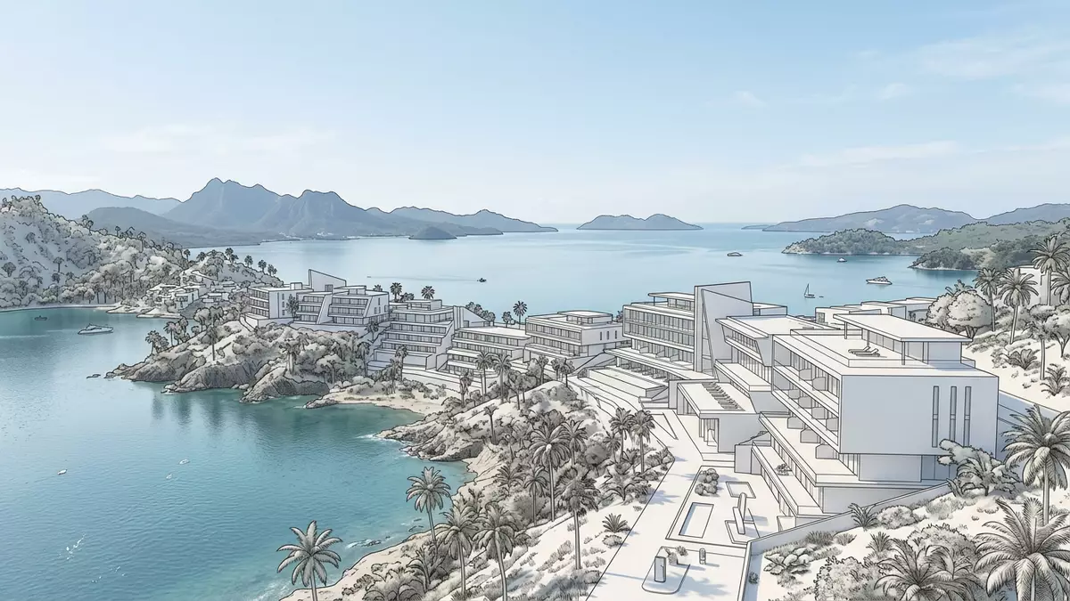
Bahia de Samana, known in English as Samaná Bay, spreads along the north-eastern coast of the Dominican Republic as a broad, sheltered inlet between the Atlantic Ocean and the Caribbean Sea. The bay lies south of the Samaná Peninsula in the province of Samaná, forming a protected stretch of water framed by low hills, coastal plains and mangrove-lined shores.
A Caribbean bay between peninsula, plains and rivers
Bahia de Samana forms part of the Mona Passage, the strait that links the Atlantic Ocean with the Caribbean Sea between the island of Hispaniola and Puerto Rico.The bay lies along this maritime corridor while remaining screened from the open ocean by the long arm of the Samaná Peninsula. Its waters stretch roughly east to west between the peninsula and the mainland, creating a wide expanse of sea with a sequence of headlands and coves along the shore.
The Yuna River flows into Bahia de Samana from the west, bringing freshwater from the interior and forming a broad estuary as it meets the bay.The lower course of the river meets the bay south of the Samaná Peninsula, where mangrove stands and low-lying wetlands mark the transition from river to sea. Offshore, a scatter of small islands and islets rises from the water, giving the bay a broken horizon that changes with each viewpoint around its shoreline.
Anchored by Santa Bárbara de Samana and a natural harbour
The main town on Bahia de Samana is Santa Bárbara de Samana, usually shortened to Samana, which stands on the bay’s northern side. From its waterfront the view sweeps across the bay towards the mainland plains and the distant outline of Los Haitises National Park, a protected landscape of karst hills and coastal forest that borders the southern shore.Islands, mangroves and caves with pre-Columbian rock art form part of this wider seascape and underline how closely the bay is tied to its surrounding hills and forests.
The configuration of the peninsula and the mainland coastline gives Bahia de Samana deep, sheltered anchorages that have long been recognised as among the more secure natural harbours in the region.The bay combines depth, protection from swell and access to the Mona Passage, so coastal settlements cluster where river valleys meet the sea. From the water, the land rises in gentle slopes rather than sheer cliffs, with green hills backing the harbour town and low promontories projecting into the bay.
Whales, mangroves and karst islands
Bahia de Samana is closely associated with humpback whales, which gather in its warm, relatively calm waters during the northern winter to breed and give birth.Every year, thousands of humpback whales travel from the North Atlantic into the bay, turning the open water into a seasonal stage for breaching, tail-slapping and other surface displays. Boat trips leave from Samana’s harbour when the whales are present, and from elevated viewpoints along the peninsula it is sometimes possible to see the animals surfacing offshore.
Beyond the whales, the bay’s smaller islands and mangrove-fringed channels provide habitat for colonies of seabirds such as pelicans and frigate birds.Some of the islets function as nesting sites and roosts, and their rocky outlines give Los Haitises National Park its distinctive “karst islands” character. Caves along parts of the shoreline carry pre-Columbian pictographs and petroglyphs, adding an archaeological layer to a landscape already rich in natural forms such as limestone outcrops, forested ridges and tidal creeks.
Visiting Bahia de Samana: what travellers from Western Europe should know
- Bahia de Samana lies in the north-east of the Dominican Republic, south of the Samaná Peninsula and near the town of Santa Bárbara de Samana, which functions as the main harbour on the bay.
- The shoreline around Samana includes gently sloping streets and waterfront promenades, while excursions into Los Haitises National Park and the bay’s mangrove channels can involve boarding boats from simple piers and walking on uneven, sometimes muddy ground.
- The official language is Spanish and the currency is the Dominican peso.
- Entry requirements depend on your nationality; UK travellers can check the FCDO travel advice at gov.uk/foreign-travel-advice, Irish travellers the Department of Foreign Affairs at ireland.ie.
Searching for Bahia de Samana on social platforms
These links open searches for Bahia de Samana on each platform.
Frequently asked questions about Bahia de Samana
Where is Bahia de Samana?
Bahia de Samana is a bay in the north-eastern Dominican Republic, south of the Samaná Peninsula and close to the town of Santa Bárbara de Samana.
What should visitors expect from a visit to Bahia de Samana?
Visitors encounter a wide tropical bay with low green hills, mangrove-fringed river mouths, offshore islands, and a harbour town that serves as the main access point to the water.
What makes Bahia de Samana distinctive compared with other Caribbean bays?
The combination of a sheltered natural harbour, the seasonal presence of humpback whales and the proximity of Los Haitises National Park gives Bahia de Samana a blend of maritime, ecological and cultural features in one landscape.


