
Blue Mountains: Jamaica’s high ridge behind Kingston
Published on 09/22/2026 at 04:12 | Editorial responsibility: Rafael Müller, Editor-in-Chief AD HOC NEWS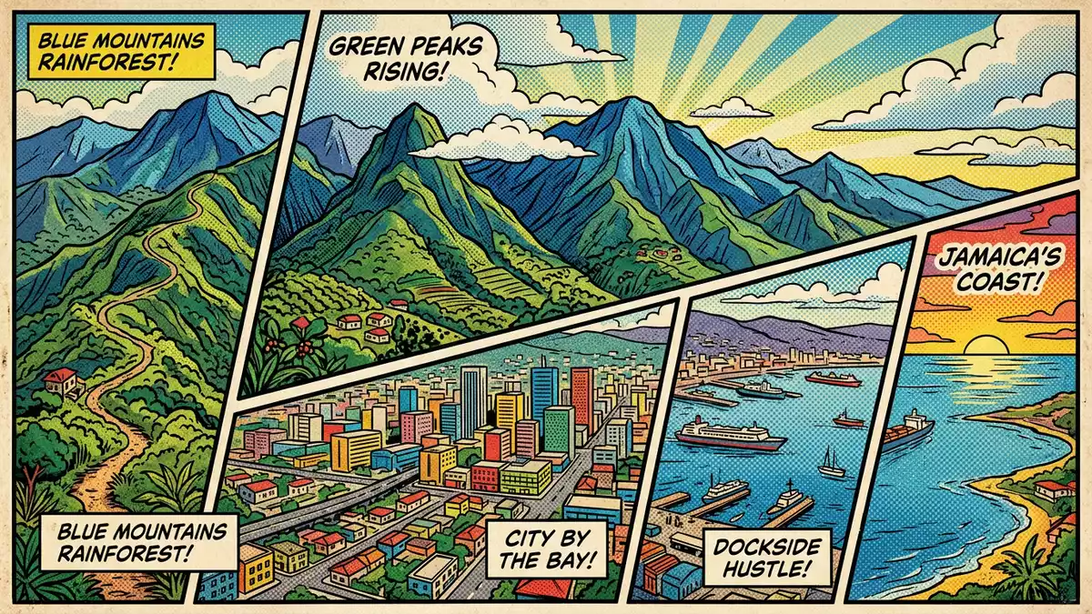
East of Kingston, the Blue Mountains lift Jamaica from coastal plain to cool, forested ridge, culminating in Blue Mountain Peak at 2,256 m (7,402 ft). Their steep slopes carry protected forests and a precisely defined coffee-growing belt that has shaped the region’s name far beyond the island itself.Blue Mountain Peak at 2,256 m stands above valleys that drain towards Kingston and the north coast, tying the range physically and visually to Jamaica’s capital.
A mountain range above Kingston’s coastal plain
The Blue Mountains occupy Jamaica’s eastern side, forming a ridge that stretches for around 50 km from Stony Hill north of Kingston towards the Caribbean Sea in the east.The range in eastern Jamaica rises rapidly from urban districts and foothills into narrow valleys and high crests. It spans sections of the parishes of Portland, St Thomas, St Mary and St Andrew, giving several counties a shared highland backdrop.The national park spans multiple parishes and includes the highest point.
Together with the John Crow Mountains to the east and the Port Royal Mountains to the west, the range forms the core of the Blue and John Crow Mountains National Park. The park covers more than 40,000 hectares and includes Jamaica’s largest contiguous tract of closed broadleaf forest, protecting a mosaic of peaks, ridges and deep valleys.Blue and John Crow Mountains National Park lies just north of Kingston, making the high ridge part of the city’s everyday horizon.
UNESCO protection and Maroon cultural landscapes
The Blue and John Crow Mountains were inscribed as a UNESCO World Heritage Site in 2015 for both natural and cultural heritage. The designation recognises the combination of rugged montane forests, endemic species and cultural landscapes linked to Jamaican Maroon communities.Inscribed as a UNESCO World Heritage Site in 2015, the park is Jamaica’s only national park and the first mixed World Heritage property in the Caribbean region.First mixed World Heritage site in the Caribbean
Within the protected area, steep slopes and remote valleys intersect with historical Maroon settlements whose traditions are recognised internationally as part of Jamaica’s cultural heritage.Maroon traditions linked to the mountains form one strand of the inscription, alongside the ecological value of montane forests and watershed systems. Ten of the island’s watershed units lie within the park boundary, underlining how the highlands influence rivers that supply communities across eastern Jamaica.Watershed units within the park
Coffee belt in the mist: Jamaica Blue Mountain
The name Blue Mountains is closely tied to Jamaica Blue Mountain coffee, a protected certification mark for beans grown within a legally defined belt on the range’s eastern slopes. Jamaican law specifies that only coffee from designated areas in the parishes of Saint Andrew, Saint Thomas, Portland and Saint Mary, grown within a certain elevation band, may carry the Blue Mountain label.Coffee Industry Regulation Act designation Coffee from lower elevations is sold under separate names such as Jamaica High Mountain or Jamaica Supreme.Defined elevation band for Blue Mountain coffee
The growing region sits between Kingston to the south and coastal towns such as Port Maria and Port Antonio to the north, occupying cool, mist-covered slopes with high rainfall and rich, well-drained soils. Rising towards heights of more than 2,200 m (around 7,400 ft), the Blue Mountains provide elevations between roughly 910 m and 1,700 m where coffee farms operate inside the certification zone.Altitude band for Jamaica Blue Mountain Above the coffee belt, upper slopes and summit areas form part of forest reserves where agriculture is restricted.Upper elevations maintained as forest reserve
Visiting Blue Mountains: what travellers from Western Europe should know
- The Blue Mountains rise to the north and east of Kingston, with roads such as the B1 climbing from the city through Papine and Irish Town towards higher villages and trailheads.
- Terrain in the range is steep and varied, with mountain roads, forest tracks and hiking paths crossing ridges and valleys; approaches to Blue Mountain Peak involve sustained ascents.
- The mountains lie in Jamaica, where the official language is English and the currency is the Jamaican dollar.
- Entry requirements depend on your nationality; UK travellers can check the FCDO travel advice at gov.uk/foreign-travel-advice, Irish travellers the Department of Foreign Affairs at ireland.ie.
Searching for Blue Mountains on social platforms
These links open searches for Blue Mountains on each platform.
Frequently asked questions about Blue Mountains
Where are the Blue Mountains in relation to Kingston?
The Blue Mountains lie just north and east of Kingston on Jamaica’s eastern side, forming a ridge that extends from Stony Hill towards the Caribbean Sea.
What should visitors expect on a trip into the range?
Visitors encounter steep mountain roads, forested slopes and highland trails, with cool, misty conditions at higher elevations and views across valleys towards Jamaica’s coasts.
What makes the Blue Mountains distinctive?
The range combines Jamaica’s highest summit, Blue Mountain Peak, extensive protected forests and a legally defined coffee belt that has given Jamaica Blue Mountain coffee its name.


