
Cabo Girao and the glass edge above Madeira’s Atlantic
Published on 09/22/2026 at 21:34 | Editorial responsibility: Rafael Müller, Editor-in-Chief AD HOC NEWS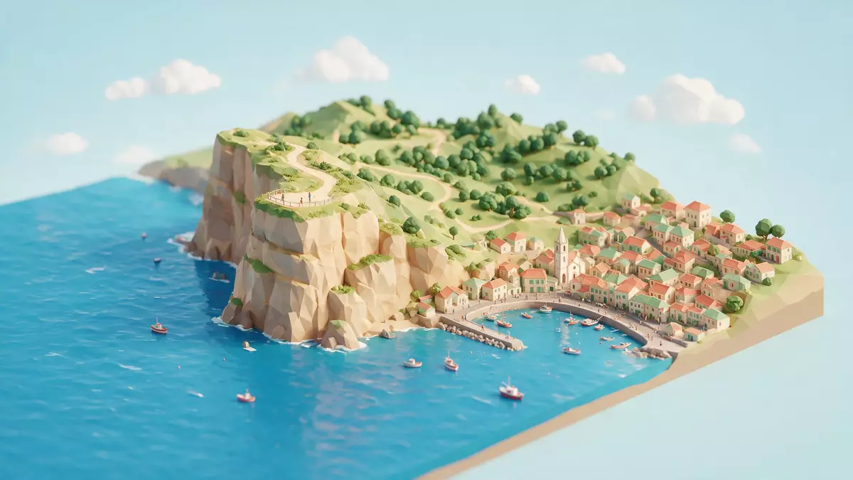
Cabo Girao is a high Atlantic promontory above Camara de Lobos on Madeira’s south coast. Its defining feature is a glass-floored platform suspended beyond the volcanic cliff, with the sea and cultivated terraces visible below. The headland reaches 580 m (1,903 ft) above sea level, giving the landscape a sharp vertical scale.
Cabo Girao: a glass platform above the Atlantic
The viewpoint occupies the upper edge of a cliff formed from volcanic material. From the platform, the ground ends at a transparent floor, while the rock face descends towards the ocean and the small agricultural lands at its base. The platform became part of the Cabo Girao viewpoint in 2012.Cabo Girao viewpoint
The glass surface is set beyond the cliff edge, creating a direct view of the drop beneath the platform. A paved terrace surrounds the viewing area, with the wider coastline extending towards Camara de Lobos and Funchal. The high point is open to the Atlantic landscape, while the cliff itself remains the dominant feature.
Volcanic layers and terraces below Cabo Girao
Cabo Girao is made from overlapping volcanic deposits, including pyroclastic layers and basaltic lava flows. Geological descriptions place these materials within Madeira’s volcanic complexes, where darker rock bands and lighter deposits form the cliff face.Cabo Girao’s volcanic layers
At the foot of the cliff lies a fajã, a small area of relatively level land formed from material that accumulated below the steep slope. Cultivated terraces occupy parts of this lower ground. Seen from above, the geometry changes from near-vertical rock to horizontal strips of land and then open water.
From coastal landmark to Madeira viewpoint
Cabo Girao belongs to the municipality of Camara de Lobos and lies in the parish of Quinta Grande. Its position combines a named geographical landmark with a purpose-built viewing place, linking Madeira’s settlement pattern to its volcanic coast.
The headland has an elevation of 580 m (1,903 ft), a figure recorded in geological and geographical descriptions of the site.580-metre headland The cliff’s visible layers, the suspended platform and the cultivated land below form a compact cross-section of Madeira’s southern landscape.
Visiting Cabo Girao: what travellers from Western Europe should know
- Cabo Girao is south-west of Funchal, above Camara de Lobos. The viewpoint is reached by road through the municipality and lies near the Estrada do Cabo Girao.
- The viewing platform sits at 580 m (1,903 ft) above sea level. The site includes a paved terrace, while the glass section extends beyond the cliff edge.
- The lower fajã contains cultivated land beneath the rock face. The contrast between the terraces, volcanic cliff and Atlantic is visible from the viewpoint.
- The official language is Portuguese and the currency is the euro.
Searching for Cabo Girao on social platforms
These links open searches for Cabo Girao on each platform.Frequently asked questions about Cabo Girao
Where is Cabo Girao?
Cabo Girao is on Madeira’s south coast, in the municipality of Camara de Lobos. The viewpoint lies above the Atlantic and near Quinta Grande.
What can visitors expect at Cabo Girao?
The site combines a paved viewing terrace with a glass-floored platform beyond the cliff edge. The view includes volcanic rock, cultivated land below and the southern coastline.
What makes Cabo Girao distinctive?
Its 580 m (1,903 ft) elevation and suspended glass platform place a transparent viewing surface above a volcanic Atlantic cliff.


