
Canal de Panama: the waterway that rises into a lake
Published on 09/23/2026 at 22:52 | Editorial responsibility: Rafael Müller, Editor-in-Chief AD HOC NEWS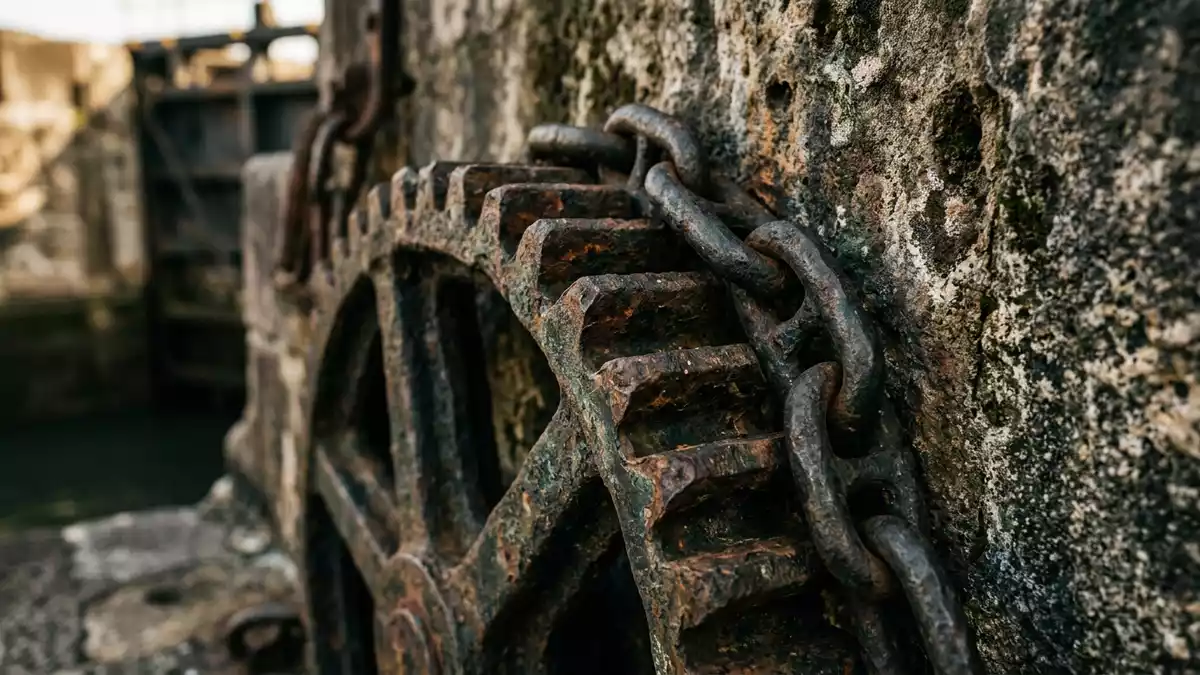
Canal de Panama is a working waterway in Panama that lifts ships from sea level to Gatun Lake before lowering them towards the opposite ocean. The sequence of locks, lake and cut turns a crossing between the Atlantic and Pacific into a visible piece of hydraulic engineering.
Canal de Panama and the rise to Gatun Lake
The canal stretches approximately 80 kilometres between the Atlantic and Pacific oceans. Its Pacific entrance lies beside Panama-Stadt, while the Atlantic entrance is near Colón. The route crosses the Isthmus of Panama through channels, artificial lakes and lock chambers.
Ships entering from the Atlantic pass through Gatún Locks, where water raises them to Gatun Lake, about 26 metres above sea level. The lake occupies a central section of the route, and the vessels continue across it before reaching the Culebra Cut.
The locks operate as water lifts. Water from Gatun Lake enters the chambers by gravity, raising or lowering a vessel without a conventional ship lift. The arrangement remains legible from the shore: gates divide the chambers, and the water level changes from one section to the next.
Locks, lakes and the Culebra Cut
The original lock system carries the names Gatún, Pedro Miguel and Miraflores. Gatún lies on the Atlantic side, while Pedro Miguel and Miraflores form the Pacific approach. Each lock chamber measures 33.53 metres wide and 304.8 metres long, according to the canal history.
Gatún has three steps, Pedro Miguel has one, and Miraflores has two. The chambers were built in pairs, creating parallel passages through the principal lock complexes. Their concrete walls, steel gates and operating machinery form the canal’s most recognisable architectural elements.
Between Gatun Lake and the Pacific locks, the Culebra Cut cuts through the continental divide. The excavation created a narrow water corridor through the highlands, linking the lake with Pedro Miguel. The cut is also known as Gaillard Cut in historical accounts.
Gatun Dam created the lake and transformed the Chagres River valley into part of the canal route. The lake supplies water for the locks, while the channel through the cut carries ships towards the Pacific. The canal is therefore a connected landscape of river, reservoir, excavation and concrete chambers.
From Ferdinand de Lesseps to Panamanian administration
A French company led by Ferdinand, viscount de Lesseps, began canal construction in 1881. That enterprise failed by 1889. Work under United States supervision began in 1904, and the canal opened to commercial traffic on 15 August 1914.
The opening followed more than three decades of changing plans, excavation and construction. The French project began with a sea-level concept, while the completed canal used a lake-and-lock arrangement. The difference can be read in the finished landscape, where vessels climb into Gatun Lake instead of travelling through a level trench from coast to coast.
The SS Ancon made the first official transit on 15 August 1914. The date remains central to the canal’s history, linking the engineering work with the beginning of an interoceanic route used by commercial shipping.
Administration passed fully to the Republic of Panama on 31 December 1999 under the Torrijos-Carter Treaty. The Panama Canal Authority manages, operates and maintains the waterway. Panama-Stadt remains closely associated with the Pacific entrance, particularly the Miraflores Locks and the canal landscape around the city.
Visiting Canal de Panama: what travellers from Western Europe should know
- Canal de Panama reaches the Pacific beside Panama-Stadt and continues north-west towards Colón on the Caribbean side. Road access from the capital leads to the Miraflores Locks.
- The canal landscape includes concrete lock chambers, moving gates, water channels, Gatun Lake and the excavated Culebra Cut. A visit to the locks involves viewing platforms and changes of level.
- The Pacific-side Miraflores area includes the Miraflores Visitor Center beside the original lock complex. The wider canal route also includes Pedro Miguel, Gamboa and Gatún.
- The official language is Spanish and the currency is the Panamanian balboa. United States dollars circulate alongside balboa coins.
- Entry requirements depend on your nationality; UK travellers can check the FCDO travel advice at gov.uk/foreign-travel-advice, Irish travellers the Department of Foreign Affairs at ireland.ie.
Searching for Canal de Panama on social platforms
These links open searches for Canal de Panama on each platform.Frequently asked questions about Canal de Panama
Where is Canal de Panama?
Canal de Panama crosses the Isthmus of Panama between the Atlantic and Pacific oceans. Its Pacific entrance lies beside Panama-Stadt, and its Atlantic entrance is near Colón.
What can visitors expect at Canal de Panama?
Visitors encounter lock chambers, gates, channels, viewing areas and the changing landscape around Gatun Lake and the Culebra Cut. The Miraflores Locks provide a recognised access point near Panama-Stadt.
What makes Canal de Panama distinctive?
The canal combines ocean channels with a raised freshwater lake. Its locks lift ships about 26 metres above sea level before lowering them towards the opposite coast.


