
Canyonlands National Park and its four desert districts
Published on 09/17/2026 at 21:38 | Editorial responsibility: Rafael Müller, Editor-in-Chief AD HOC NEWS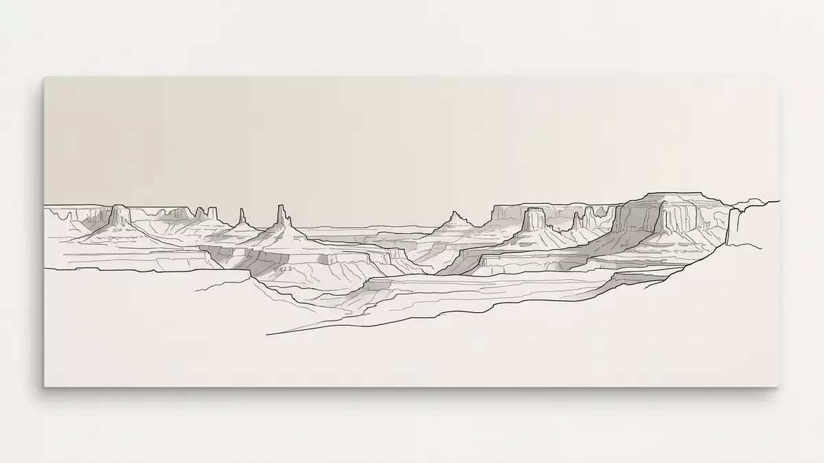
Canyonlands National Park near Moab is a landscape of broad mesas, deep canyons and sandstone spires. Established on 12 September 1964, it preserves a vast desert terrain in south-eastern Utah.
Four districts divided by two rivers
The park is divided by the Green and Colorado rivers into four districts: Island in the Sky, the Needles, the Maze and the rivers themselves. Each district has a different scale and a different surface, from mesa tops to remote canyon country.12 September 1964 four districts
Island in the Sky sits on a high mesa between the rivers. The Needles is marked by colourful sandstone spires, while the Maze is a remote district of canyons and broken rock.
Utah desert geology in broad layers
The park’s landforms are shaped by layers of rock, with canyons, mesas, buttes, fins, arches and spires spread across the plateau. Cedar Mesa Sandstone appears in the Needles, where the spires rise in dense clusters.Cedar Mesa Sandstone canyons, mesas, buttes
That variety makes the park feel assembled from several desert forms at once. One district can hold a broad mesa top, another a maze of narrow canyons, and another a field of spires and fins.
Created in the twentieth century
The park was established by Public Law 88-590 and signed by President Lyndon B. Johnson. The law set aside an area in Utah for its scenic, scientific and archaeological features.Public Law 88-590 Lyndon B. Johnson
Bates Wilson and Senator Frank E. Moss are tied to the park’s creation, which gave this corner of Utah a protected national park landscape. The result is a place where the scale of the country’s canyon country remains visible across wide distances.
Visiting Canyonlands National Park: what travellers from Western Europe should know
- The park lies near Moab in south-eastern Utah. Island in the Sky is reached from US 191 and UT 313, while the Needles is reached from US 191 and UT 211.
- The Maze demands more self-reliance than the other districts. Trails there can be steep, minimally maintained and difficult to follow.
- Water, roads and river access shape movement through the park. The districts are not directly linked by roads, so journeys between them use the regional road network.
- Horseshoe Canyon lies north-west of the Maze and contains American Indian rock art panels. It adds another named unit to the wider park landscape.
- The official language is English and the currency is the United States dollar.
Searching for Canyonlands National Park on social platforms
These links open searches for Canyonlands National Park on each platform.
Frequently asked questions about Canyonlands National Park
Where is Canyonlands National Park?
It lies near Moab in south-eastern Utah, within the Colorado Plateau. The Green and Colorado rivers divide its main districts.
What does a visit involve?
Expect wide distances, desert roads and districts with different levels of access. Some areas are reached by paved scenic drive, while others need more planning and rougher travel.
What makes Canyonlands National Park distinctive?
Its identity lies in the contrast between mesa tops, narrow canyons and sandstone spires. The park’s four districts give that desert landscape several different forms.


