
Canyonlands National Park and its layered desert world
Published on 09/23/2026 at 16:13 | Editorial responsibility: Rafael Müller, Editor-in-Chief AD HOC NEWS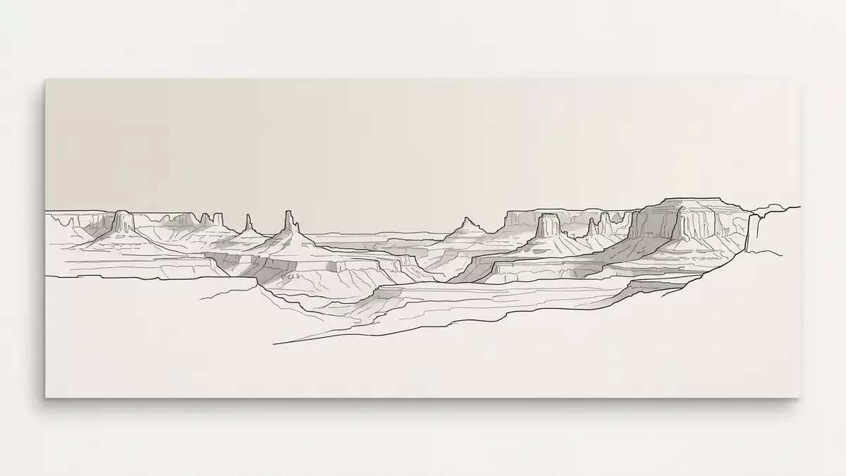
Canyonlands National Park is a desert landscape arranged in layers: broad mesas above, pale sandstone benches below, and deep river canyons between them. Near Moab in south-eastern Utah, the Green and Colorado rivers divide the park into districts with distinct landforms and routes.
Established on 12 September 1964, the park preserves a vast section of the Colorado Plateau. Its visible character comes from sedimentary rock, erosion, uplift and the meeting of two rivers.
Where the Green and Colorado rivers divide the plateau
Canyonlands National Park centres on the confluence of the Green and Colorado rivers. The rivers themselves form a separate district, while the land around them is divided into Island in the Sky, The Needles and The Maze.
Island in the Sky occupies the northern part of the park, between the rivers above their confluence. Its mesa top overlooks the White Rim, a broad sandstone bench about 365 m (1,200 ft) below the mesa. Farther below, the rivers run through narrow canyon corridors.
The park covers about 136,610 hectares (337,570 acres). Its districts are not connected by roads crossing the rivers, so each landscape has its own approach and character.
From Island in the Sky, named viewpoints look across the Colorado Plateau’s broken surfaces. Grand View Point faces an expansive arrangement of mesas, buttes, cliffs and canyons. Green River Overlook looks towards the river corridor and the layered country beyond.
Sandstone layers, spires and the forms of erosion
The exposed rocks record environments that existed between about 310 and 160 million years ago. Marine settings, tidal flats, river floodplains, coastal plains and desert dunes all contributed sediment to the geological sequence.
The oldest exposed unit is the Pennsylvanian Paradox Formation, deposited about 310 million years ago. Higher layers include the Cutler Group, Cedar Mesa Sandstone, Organ Rock Formation and White Rim Sandstone.
In The Needles, Cedar Mesa Sandstone forms colourful spires and fins. The district’s name refers to these narrow rock shapes, which rise among canyons and sandstone ridges in the park’s south-eastern sector.
The Maze lies west of the Green River. Its canyons, fins, mesas and passages form a complex landscape of deeply eroded rock. Horseshoe Canyon is managed as part of this district, although it is separated from the main Maze area.
Upheaval Dome is another named geological feature in Island in the Sky. Its disturbed rocks form a broad depression surrounded by ridges, contrasting with the more regular horizontal layers visible elsewhere.
Across Canyonlands National Park, erosion has cut the sedimentary rocks into canyons, mesas, buttes, spires, arches and isolated formations. The landscape is not a single canyon but a collection of related surfaces divided by the river system.
Human traces across the canyon country
People have used the Canyonlands region for more than 10,000 years. Hunter-gatherer groups left rock art, tools and other traces, while ancestral Puebloan communities built stone structures and stored food in sheltered places.
Pictographs are painted on rock, while petroglyphs are pecked into the surface. Both forms appear in the park. Horseshoe Canyon contains the Great Gallery, a panel with life-sized painted and etched figures associated with the Barrier Canyon style.
Ancestors of today’s Puebloan people lived in the area about 800 years ago. Their remains include stone dwellings, granaries and rock art. Granaries can be seen along trails such as Roadside Ruin in The Needles and Aztec Butte in Island in the Sky.
The cultural landscape extends beyond visible ruins. Small storage structures occupy cliff alcoves, while handprints and other designs remain on sandstone walls. These places connect the present landscape with several distinct periods of human activity.
Vegetation also changes with the terrain. Open country supports bunch grasses, Utah juniper, pinyon pine, blackbrush and cliffrose. Cottonwoods and willows grow along river corridors, where water creates greener strips within the high desert.
The combination of archaeological traces and exposed rock gives Canyonlands National Park two overlapping time scales. Sedimentary layers reach back hundreds of millions of years, while shelters, granaries and rock art record human presence across millennia.
Visiting Canyonlands National Park: what travellers from Western Europe should know
- Canyonlands National Park lies near Moab in south-eastern Utah. US 191 connects the Moab area with UT 313 for Island in the Sky and UT 211 for The Needles.
- The districts require separate approaches. No road crosses the Green or Colorado rivers inside the park, and The Maze is reached by unpaved roads suitable for high-clearance four-wheel-drive vehicles.
- Island in the Sky includes mesa-top viewpoints and trails descending towards the White Rim. The White Rim lies about 365 m (1,200 ft) below the mesa top.
- Horseshoe Canyon contains the Great Gallery and a long approach on foot from its trailhead. The canyon combines archaeological features with exposed sandstone walls.
- The official language is English and the currency is the US dollar.
Searching for Canyonlands National Park on social platforms
These links open searches for Canyonlands National Park on each platform.
Frequently asked questions about Canyonlands National Park
Where is Canyonlands National Park?
Canyonlands National Park is in south-eastern Utah, near Moab. It surrounds the confluence of the Green and Colorado rivers and forms part of the Colorado Plateau.
What can travellers expect from the park?
The park contains mesa-top viewpoints, deep river canyons, sandstone formations, archaeological sites and backcountry landscapes. The districts have separate approaches and different terrain.
What makes Canyonlands National Park distinctive?
Its landscape combines two major rivers with layered sedimentary rock, broad mesas, narrow canyons, sandstone spires and human traces spanning thousands of years.


