
Canyonlands National Park and its sculpted stone districts
Published on 08/17/2026 at 13:16 | Editorial responsibility: Rafael Müller, Editor-in-Chief AD HOC NEWS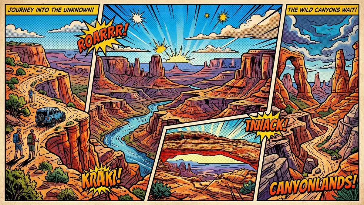
Canyonlands National Park near Moab in Utah is a landscape carved into extraordinary layers, where the Colorado River and Green River have cut deep canyons through the Colorado Plateau and separated broad mesas from labyrinths of rock spires. The park was established as a national park in 1964 and has since been expanded to cover more than 330,000 acres (around 136,000 hectares) centred on the confluence of the two rivers, bringing together several distinct districts within one protected area. Canyonlands National Park offers a clear view of geological time, with rock layers that span around 150 million years exposed between the mesa tops and the river level.
Stone, rivers and the three main districts
The defining feature of Canyonlands is the way the Colorado River and Green River meet within the park and divide the larger portion of the landscape into three main districts known as Island in the Sky, the Needles and the Maze. The Island in the Sky District occupies the northern part of the park between the two rivers and forms a broad, level mesa that rises far above the canyons cut into the plateau, giving extensive views across cliffs, slopes and terraces leading down towards the water. Eroded red and white banded sandstone gives the Needles District its name; there, tall pinnacles and spires of Cedar Mesa Sandstone stand above deep side canyons on the eastern side of the Colorado River, south of Island in the Sky.
The Maze District lies to the west of the Colorado and Green Rivers and is characterised by complex networks of canyons and buttes, with routes that are more remote and demanding than those in the other districts. In addition to these three, the combined river corridors of the Colorado and Green are managed as a separate rivers district, reflecting their role in shaping Cataract Canyon and the wider canyon system inside the park. A detached area at Horseshoe Canyon is administered as part of the Maze, adding rock art sites to the geological interest of the western part of Canyonlands. The whole park sits on the Colorado Plateau, and the strata exposed in places like Island in the Sky show formations ranging from the Honaker Trail Formation near river level to younger sandstones such as Navajo Sandstone on the mesa tops, making Canyonlands a significant site for understanding regional geology.expanded since originally established in 1964divided into four districts
Island in the Sky: mesa top views and exposed strata
Island in the Sky is the most accessible district from Moab and forms a high mesa bounded by the Colorado River to the east and the Green River to the west, separated from the surrounding plateau by narrow necks of land. From its rim, the drop to the rivers below reveals cliffs and slopes in stacked sedimentary layers, recording roughly 150 million years of geologic history between the Honaker Trail Formation near the canyon bottoms and the Navajo Sandstone that caps parts of the mesa. The mesa surface combines expanses of slickrock with grasslands and scattered stands of piñon and juniper, offering wide horizons across the canyons of Canyonlands and towards other protected areas such as Glen Canyon National Recreation Area along the Maze District’s western boundary.150 million years of geologic stratumvast, level sandstone mesa
On the Island in the Sky mesa, one of the most recognisable features is Mesa Arch, a natural rock arch set close to the cliff edge that frames the canyon views when approached along a short loop path from Grand View Point Road. The arch stands above a complex of cliffs and slopes dropping to the canyons, and its position on the mesa rim gives changing perspectives on the sandstone cliffs and distant buttes. Elsewhere on Island in the Sky, viewpoints along the mesa rim look down into the carved channels of the Colorado and Green Rivers and across to the Needles and Maze districts, emphasising how the rivers have cut into the plateau to create isolated blocks of rock that stand above a network of side canyons.Mesa Arch in Canyonlands
The Needles, the Maze and the rivers
South-east of Island in the Sky, the Needles District takes its name from towering pinnacles of Cedar Mesa Sandstone that rise in bands of red and light-coloured rock. These spires stand above a landscape of domes, narrow canyons and open slickrock, with the contrast between upright columns and surrounding terrain giving this part of the park a distinctive character. The Cedar Mesa Sandstone here is part of a sequence of formations that include other sedimentary rocks such as mudstone and shale, showing how differing resistance to erosion has produced the varied shapes visitors encounter in the district. Trails in the Needles weave between and around the spires, crossing open slickrock and entering canyons where the banded nature of the sandstone is easy to see.three distinct districtsCedar Mesa Sandstone spires
West of the rivers, the Maze District forms a far more intricate system of canyons, fins and buttes, with rock layers of sandstone, shale and limestone dominating the terrain. Routes here require careful preparation because of long distances between access points, and the terrain includes steep-walled canyons and isolated mesas that emphasise the wild character of this part of Canyonlands. The rivers district, encompassing the corridors of the Green and Colorado, is defined by narrow canyons, steep cliffs and deep gorges cut by the two rivers and their tributaries, including the reach known as Cataract Canyon downstream of their confluence. Along these corridors, the rivers have carved through layers of sandstone, mudstone and limestone over millions of years, leaving terraces, benches and cliff lines that differ from the higher mesas of Island in the Sky and the spired terrain of the Needles.Maze and Rivers geology
Visiting Canyonlands National Park: what travellers from Western Europe should know
- Canyonlands National Park lies in south-eastern Utah in the United States, with the Island in the Sky District reached by road from Moab via US-191 and UT-313.
- The terrain across the park includes mesa rims, slickrock expanses, steep-walled canyons and uneven stone surfaces, so approaches to viewpoints and arches may involve walking on irregular rock and negotiating short rises and descents.
- The Needles District is reached from the east side of the Colorado River on roads leading south from US-191, and the Maze District is accessed by long desert tracks suitable only for vehicles with appropriate clearance.
- Canyonlands is in a desert region where summer heat and limited shade on exposed slickrock are long-standing characteristics, while winter conditions can bring snow and ice to higher elevations.
- The official language is English and the currency is the United States dollar; entry requirements depend on your nationality, UK travellers can check the FCDO travel advice at gov.uk/foreign-travel-advice, Irish travellers the Department of Foreign Affairs at ireland.ie.
Searching for Canyonlands National Park on social platforms
These links open searches for Canyonlands National Park on each platform.
Frequently asked questions about Canyonlands National Park
Where is Canyonlands National Park located?
Canyonlands National Park is in south-eastern Utah in the United States, near the town of Moab, centred on the confluence of the Colorado River and Green River.
What should visitors expect on a first visit to Canyonlands?
Visitors encounter high mesas, deep river canyons and varied sandstone formations, with districts such as Island in the Sky, the Needles and the Maze offering contrasting terrain and viewpoints.
What makes Canyonlands National Park distinctive among US national parks?
The park’s distinctiveness lies in its combination of river-carved canyons, broad mesa tops and banded sandstone pinnacles, all grouped into clearly defined districts shaped by the Colorado and Green Rivers since deep geological time.


