
Cap de Formentor and the cliffs at Mallorca’s northern tip
Published on 09/09/2026 at 19:57 | Editorial responsibility: Rafael Müller, Editor-in-Chief AD HOC NEWS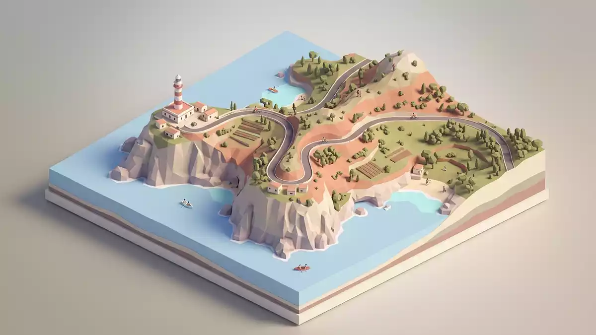
Cap de Formentor is the northernmost point of Mallorca, a narrow peninsula of cliffs and coves where the Serra de Tramuntana mountain range runs out into the Mediterranean Sea. Rising above the water, the cape’s limestone ridge reaches a height of 384 m (1,260 ft) at Fumat, giving the headland its stark profile against the horizon and making the drive and viewpoints along the route feel like a journey to the island’s far edge.
Limestone cliffs, coves and the “meeting point of the winds”
The land that forms Cap de Formentor is a finger of the Formentor peninsula, a spine of pale limestone running for around 20 km from the bay of Pollença towards open water. The Majorcan expression “meeting point of the winds” reflects the way the cape projects into the sea on the northern tip of Mallorca, exposed to weather as the mountains end.
Along the coast beneath the ridge lie small coves and beaches set between cliffs and pine stands. Cala Murta and Cala Pi de la Posada, also known as Platja de Formentor, sit on the sheltered side of the peninsula, with the long curve of Platja de Formentor facing the bay and its wooded slopesat the northernmost point. Inland, the slopes carry typical Tramuntana vegetation, and the road threads between rocky outcrops before the land narrows towards the cape.
The Formentor lighthouse and the road engineered into the cliffs
The most recognisable structure on Cap de Formentor is the lighthouse, Faro de Formentor, perched on the rocky tip of the cape above the sea. The white tower stands on a promontory more than 200 m (656 ft) over the water, marking the end of the peninsula for ships approaching the north coast of Mallorca and acting as a visual focus for many excursions to the headlandon a promontory above the sea. Work on the lighthouse began in 1857, part of a wider nineteenth-century effort to improve navigation around the island.
Reaching the lighthouse follows a winding mountain road built into the cliffs in the first half of the twentieth century under the engineer Antonio Parietti. Beginning near Port de Pollença, this road climbs and curves along the spine of the peninsula, with hairpin bends and sections cut into the limestone slopes, and connects a series of viewpoints such as the Mirador Es Colomer before continuing towards the tipa narrow road of switchbacks. Driving or taking a bus along this route, travellers see the relationship between the road and the terrain: pine-covered slopes on one side, steep drops to the sea on the other.
Cap de Formentor within Mallorca and the Serra de Tramuntana
Geographically, Cap de Formentor sits in the municipality of Pollença, at the limit where the Serra de Tramuntana’s northern ridgeline meets the Mediterranean. The cape closes the Bay of Pollença to the north, and its cliffs form part of the wider mountain landscape that runs along Mallorca’s north-west coastat the extremity of the island. From the viewpoints along the peninsula, travellers look back towards Port de Pollença and along the Serra de Tramuntana, seeing how the headland projects beyond the main mass of the mountains.
Formentor’s position has made it a reference point in descriptions of Mallorca’s geography and in itineraries that explore the north of the island. Guides often highlight the cape’s road, the lighthouse and the combination of steep cliffs and small inlets, framing Cap de Formentor as a counterpart to the lower, more sheltered coasts elsewhere on Mallorcathe northernmost point of Mallorca. Visiting the cape connects the experience of the Tramuntana range with the open expanse of the sea beyond the island’s final ridge.
Visiting Cap de Formentor: what travellers from Western Europe should know
- Cap de Formentor lies north-east of Port de Pollença, at the tip of the Formentor peninsula in northern Mallorca. Road access begins near Port de Pollença along the Ma-2210.
- The terrain consists of steep limestone slopes and cliff edges, with sections of narrow tarmac road and stone viewpoints. Approaches to viewpoints and coves involve gradients and uneven ground.
- Cap de Formentor belongs to Spain; the official language is Spanish and the currency is the euro.
Searching for Cap de Formentor on social platforms
These links open searches for Cap de Formentor on each platform.
Frequently asked questions about Cap de Formentor
Where is Cap de Formentor on Mallorca?
Cap de Formentor forms the tip of the Formentor peninsula in northern Mallorca, within the municipality of Pollença and at the northern limit of the Bay of Pollença.
What can travellers expect when visiting Cap de Formentor?
A visit combines a winding mountain road, viewpoints over high limestone cliffs, small coves such as Cala Murta and Platja de Formentor, and views towards the Formentor lighthouse.
What makes Cap de Formentor distinctive among Mallorca’s landscapes?
The cape brings together the Serra de Tramuntana’s final ridge, sheer sea cliffs rising to Fumat at 384 m (1,260 ft), and a nineteenth-century lighthouse on a promontory at the very northern tip of the island.


