
Cerro Rico and the silver mountain above Potosi
Published on 09/22/2026 at 07:45 | Editorial responsibility: Rafael Müller, Editor-in-Chief AD HOC NEWS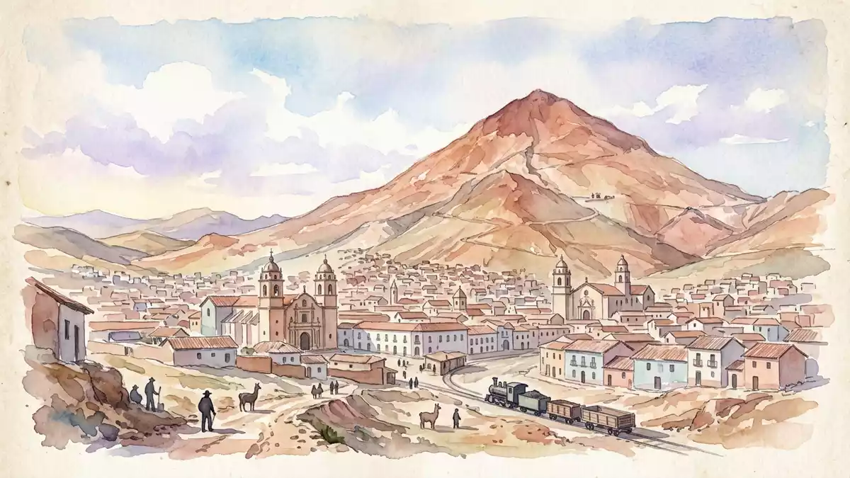
Cerro Rico rises directly above Potosi as a steep Andean mountain with a history written into its slopes. Its silver deposits transformed a sixteenth-century settlement into a colonial centre, while mining left the volcanic form pierced by underground workings.
Cerro Rico above the highland city
Cerro Rico stands south of Potosi in the Bolivian Andes. The mountain reaches about 4,800 m (15,700 ft), placing its summit far above the city and the surrounding highland plateau.
Its Spanish name means “Rich Mountain”. The Quechua names Sumaj Orcko and Potosi also belong to the mountain’s historical vocabulary. From Potosi, the broad cone forms a constant presence above the colonial streets and industrial remains.
A Miocene volcano filled with mineral veins
Cerro Rico is an extinct volcano formed during the Miocene. Its volcanic rocks include a dacite dome, with mineralisation concentrated in veins containing silver, tin, zinc and other metals.
Geological erosion exposed part of the mineralised core. Silver-bearing veins then became the basis for a mining landscape that reaches through the mountain rather than stopping at its outer slopes.
Silver, empire and an altered mountain
Silver extraction at Cerro Rico began in 1545 under the Spanish Empire. Potosi grew around the deposit and became a major centre of colonial production, coinage and trade.
The mountain is part of the cultural landscape recognised through the City of Potosí World Heritage site. Potosi entered the World Heritage List in 1987, together with industrial remains linked to silver production.
Mining has continued across several centuries, with tin and zinc becoming important in the twentieth century. The resulting network of workings has altered the mountain’s surface and contributed to its documented instability.
Visiting Cerro Rico: what travellers from Western Europe should know
- Cerro Rico rises immediately south of Potosi. The city is connected by road with Sucre and other Bolivian highland centres.
- The altitude is the defining physical condition. Cerro Rico reaches about 4,800 m (15,700 ft), while Potosi itself lies above 4,000 m.
- The mountain remains an active mining landscape. Its slopes contain mine entrances, spoil areas and evidence of long mineral extraction.
- The historic setting includes Potosi’s colonial streets, the Casa de la Moneda and industrial features associated with Cerro Rico.
- The official language is Spanish and the currency is the Bolivian boliviano.
- Entry requirements depend on your nationality; UK travellers can check the FCDO travel advice at gov.uk/foreign-travel-advice, Irish travellers the Department of Foreign Affairs at ireland.ie.
Searching for Cerro Rico on social platforms
These links open searches for Cerro Rico on each platform.
Frequently asked questions about Cerro Rico
Where is Cerro Rico?
Cerro Rico stands south of Potosi in southern Bolivia. The mountain rises directly above the historic Andean city.
What can visitors expect?
Visitors encounter a high-altitude mining landscape beside a colonial city. The terrain includes steep slopes, mine infrastructure and extensive evidence of mineral extraction.
What makes Cerro Rico distinctive?
Its volcanic form combines geological interest with the history of Spanish silver mining. The mountain’s name, Potosi’s growth and the World Heritage landscape are closely connected.


