
Chott el Djerid, the wide salt lake between oasis and desert
Published on 09/19/2026 at 16:37 | Editorial responsibility: Rafael Müller, Editor-in-Chief AD HOC NEWS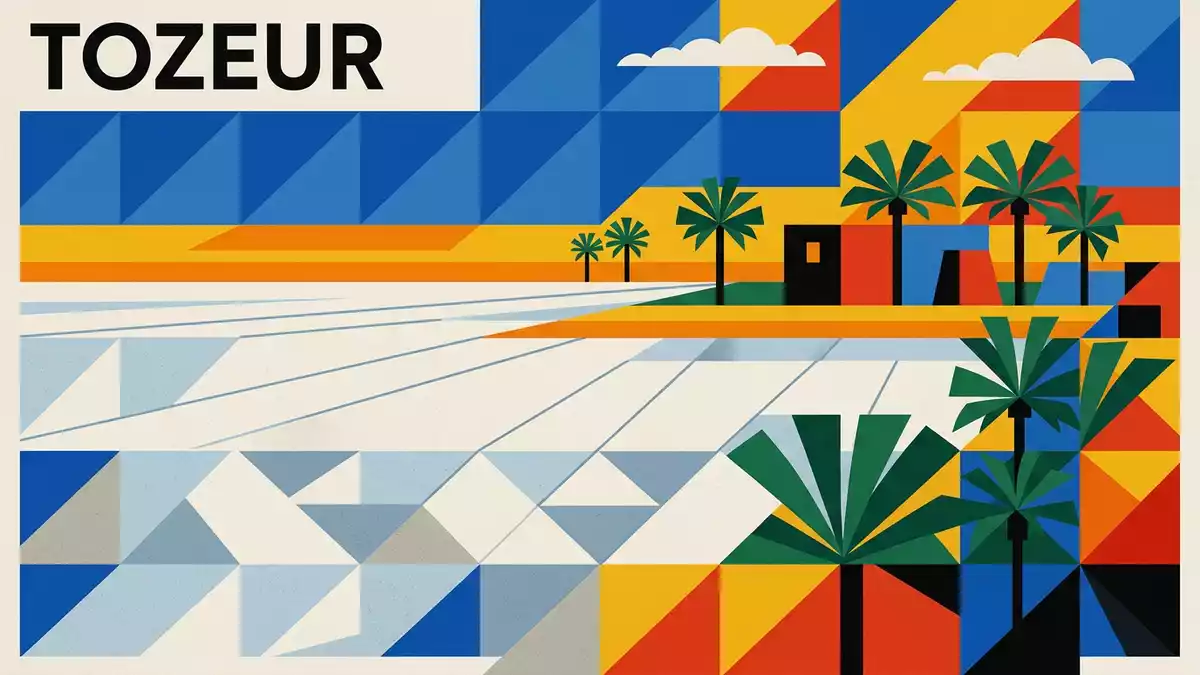
South of the oasis city of Tozeur in southern Tunisia, Chott el Djerid spreads across the desert as a shallow salt lake whose pale surface and mirages form a distinctive Sahara landscape. This large endorheic basin, a closed drainage lake with no outlet to the sea, occupies a broad depression between the oasis belt to the north and the dune fields that lead towards Kebili and Douz.
A vast saline basin in southern Tunisia
Chott el Djerid dominates maps of southern Tunisia as a broad saline depression occupying the Tunisian part of the Sahara between Tozeur and Kebili. It lies in the centre-west of the country, forming part of a chain of chotts and sebkhas that mark the transition between steppe landscapes and the true desert further south.large endorheic salt lake The basin covers several thousand square kilometres, making it the largest salt plain of Tunisia and one of the most extensive saline depressions in North Africa.largest sebkha in Tunisia
The lake lies at modest elevations around sea level, with parts of its surface slightly above and others slightly below, emphasising the basin character in which mineral-rich waters can collect.elevations around sea level Administratively the depression is divided between the governorates of Tozeur to the west and Kebili to the east, with oasis towns such as Tozeur and Nefta on its northern margins and desert settlements further south.shared between Tozeur and Kebili
Salt crusts, shallow pools and islands of firmer ground
For travellers seeing Chott el Djerid from the causeway road between Tozeur and Kebili, the most striking feature is the flatness of its salt crust stretching towards the horizon. Across much of the basin the surface forms a near-continuous plain of salt and sediment, broken by fissures, polygonal patterns in the crust and occasional shallow pools where brine gathers.near-continuous salt plain On slightly raised ground, small islands of firmer soil and sand punctuate the whitened surface, providing points where scrub and other hardy desert plants take root.
The character of Chott el Djerid changes with the presence or absence of surface water. In many seasons the lake appears largely dry, with a hard, cracked crust underfoot and colours ranging from white and pale grey to shades of pink or brown where minerals stain the surface.hard salt flats and mineral colours After periods of rainfall or inflow from wadis descending from the northern uplands, parts of the basin hold shallow sheets of water that reflect the sky and emphasise the mirror-like quality for which the lake is known.salt-flat basin with occasional water
Chott el Djerid in the wider Saharan landscape
Geographically, Chott el Djerid forms part of a wider chain of depressions and salt lakes that stretches across southern Tunisia. To the east it connects with Chott el Fejaj, and together these basins occupy one of the broadest saline corridors between the steppes to the north and the dune seas of the Grand Erg to the south.linked to Chott Fejaj The depression sits between low mountain chains such as the Djebel Cherb to the north and more open desert terrain towards the Libyan and Algerian borders.
Human settlement concentrates on the margins rather than within the salt basin itself. Oases including Tozeur, Nefta and Kebili rely on groundwater and irrigation channels that tap aquifers near the chott, creating belts of palms and cultivated plots against the arid backdrop.oases around the chott Roads and tracks run along and across the depression, with a surfaced causeway carrying vehicles directly over the salt flats and linking the oasis region with towns further into the Sahara.causeway road between Tozeur and Kebili
Visiting Chott el Djerid: what travellers from Western Europe should know
- Chott el Djerid lies south of Tozeur in southern Tunisia, reached by road along the route that links the oasis city with Kebili and other Saharan towns.
- The terrain on the salt flats is extremely flat and exposed, with stretches of hardened crust and areas of softer ground where brine pools can form away from the raised road.
- The saline basin sits at modest elevations around sea level within the Tunisian Sahara, with desert landscapes and oases nearby rather than dense urban development.
- The official language is Arabic and the currency is the Tunisian dinar. Entry requirements depend on your nationality; UK travellers can check the FCDO travel advice at gov.uk/foreign-travel-advice, Irish travellers the Department of Foreign Affairs at ireland.ie.
Searching for Chott el Djerid on social platforms
These links open searches for Chott el Djerid on each platform.
Frequently asked questions about Chott el Djerid
Where is Chott el Djerid located?
Chott el Djerid lies in the centre-west of Tunisia between the oasis city of Tozeur to the north-west and the town of Kebili to the south-east, within the country’s Saharan belt.
What should travellers expect when visiting the lake?
Travellers encounter a broad, flat salt basin with hardened crusts, occasional shallow pools of brine and long views across the desert from the raised causeway road that crosses the depression.
What makes Chott el Djerid distinctive among Saharan landscapes?
Its combination of scale, salt crust patterns, mirror-like water surfaces during wetter periods and the way oasis belts line its margins give Chott el Djerid a character different from dune-only desert terrain.


