
Eryri from Llanberis: mountains, lakes and slate landscapes
Published on 09/21/2026 at 15:47 | Editorial responsibility: Rafael Müller, Editor-in-Chief AD HOC NEWS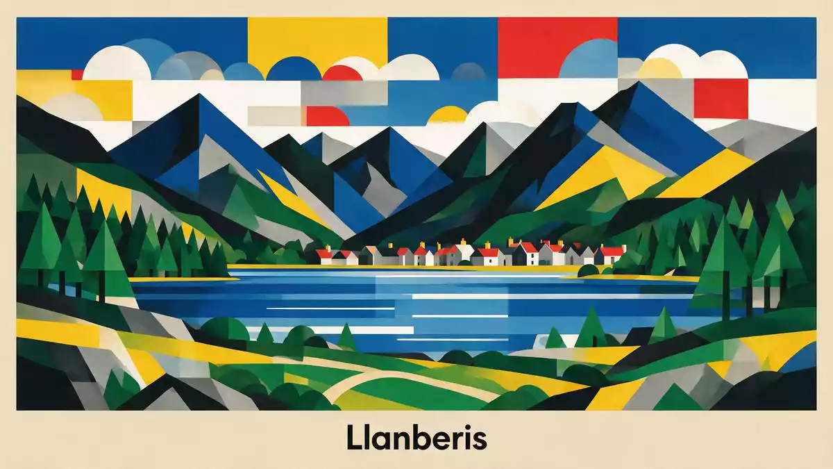
Eryri, known in English as Snowdonia National Park, is a mountainous corner of northwest Wales where peaks, lakes and slate quarries press closely together around Llanberis. Its protected status dates back to 1951, when it was designated as a national park under the National Parks and Access to the Countryside Act of 1949, making it the oldest park in Wales and part of the early wave of British national parks shaped after the Second World War.designated as a national park in 1951
Ridges, lakes and glacial valleys around Llanberis
Eryri is defined by rugged terrain: ridges raked by glaciation, deep valleys and a spread of lakes occupying hollows carved by ice. The park covers an expanse of more than 800 square miles of northwestern Wales, stretching from estuaries and low coastal fringes to high mountain massifs in the interior.covers 823 square miles of diverse landscapes Llanberis sits near the northern heart of this landscape, between the long ribbon of Llyn Padarn and the darker waters of Llyn Peris, with the terraced face of the former Dinorwic slate quarry climbing steeply above the village.between Llyn Padarn, Llyn Peris and Dinorwic quarry
Geologically, Eryri records ancient episodes of volcanism and sedimentation from the Precambrian through the Silurian, with hard volcanic rocks and slates later reshaped by repeated glaciations. As the ice retreated, cirques, U-shaped valleys and over-deepened basins remained, now holding lakes such as Llyn Llydaw and Llyn Tegid, while craggy peaks and ridges rise above them.geology from Precambrian to Silurian reshaped by glaciation Eryri’s Welsh name is often linked to a meaning “place of the eagles” or “highlands”, echoing how the steep relief and exposed summits frame the region.officially Eryri National Park since 2022
Yr Wyddfa: the high focus of Eryri
Above Llanberis, the massif of Yr Wyddfa, known in English as Snowdon, gathers ridges and cwms into a compact group of summits. Yr Wyddfa reaches 1,085 m (3,560 ft), making it the highest mountain in Wales and the highest point in England and Wales combined.Yr Wyddfa at 1,085 metres Its slopes drop towards lakes such as Llyn Llydaw and Glaslyn, where glacial excavation and later erosion have left steep rock walls and truncated spurs.
The Llanberis Path climbs from the village up the northern flank of Yr Wyddfa, following a steady line that is longer than other routes but keeps to a gentler gradient. This path runs broadly parallel to the alignment of the Snowdon Mountain Railway, a late nineteenth-century rack railway that connects Llanberis with the summit area.Llanberis Path follows a wide, gradual trail From high points on these lines, the view opens towards other Eryri ranges such as the Glyderau and Carneddau, whose peaks and cliffs form a wider mountain amphitheatre around the central massif.ranges including Carneddau and Glyderau
Human traces: quarries, language and protected status
Human activity in Eryri is visible in carved terraces, smallholdings and villages that occupy flatter ground between slopes and water. The Dinorwic slate quarry above Llanberis is one of the clearest examples: tiers cut into the mountainside, former tramways and engine houses show how slate extraction reshaped part of the valley.enormous terraced face of Dinorwic Slate Quarry Around the park, other quarry landscapes and mining remains sit alongside upland farms and pasture.
Eryri is also a stronghold of the Welsh language. Among British national parks, it has the highest proportion of Welsh speakers, reflecting centuries of continuous settlement and cultural continuity in the surrounding communities.highest percentage of Welsh speakers of any National Park The park’s official Welsh name, now used in statutory form as Eryri National Park, sits alongside English usage of Snowdonia. The protected status secured in 1951 covers upland habitats, glacial lakes, wooded valleys and sections of coastline, forming a single designated area managed by the Eryri National Park Authority.Eryri covering an area of 837 square miles
Visiting Eryri: what travellers from Western Europe should know
- Eryri lies in northwest Wales in the United Kingdom, with Llanberis near the northern edge of the park between Llyn Padarn and Llyn Peris and beneath the former Dinorwic slate quarry.
- The terrain around Llanberis and Yr Wyddfa is mountainous, with sustained gradients on paths, sections of uneven rock underfoot and extended ascents that demand steady effort from walkers.
- Llanberis is reached by road from other parts of Wales and north-west England, and the Snowdon Mountain Railway begins in the village, climbing towards the summit area of Yr Wyddfa.
- The official languages are Welsh and English, and the currency is the pound sterling.
- Entry requirements depend on your nationality; UK travellers can check the FCDO travel advice at gov.uk/foreign-travel-advice, Irish travellers the Department of Foreign Affairs at ireland.ie.
Searching for Eryri on social platforms
These links open searches for Eryri on each platform.
Frequently asked questions about Eryri
Where is Eryri in relation to Llanberis?
Eryri is a national park in northwest Wales, with Llanberis situated near its northern interior between Llyn Padarn, Llyn Peris and the Dinorwic slate quarry face.
What kind of landscape should visitors expect?
Visitors encounter a dense mountain landscape of ridges, glacial valleys, lakes and slate quarries, with paths and a rack railway climbing towards the summit area of Yr Wyddfa.
What makes Eryri distinctive among British national parks?
Eryri combines Wales’ highest mountain, extensive glacial landforms, a slate quarrying heritage and strong Welsh-language communities within a single protected area designated as a national park in 1951.


