
Fernando de Noronha, Brazil’s volcanic Atlantic outpost
Published on 09/03/2026 at 21:30 | Editorial responsibility: Rafael Müller, Editor-in-Chief AD HOC NEWS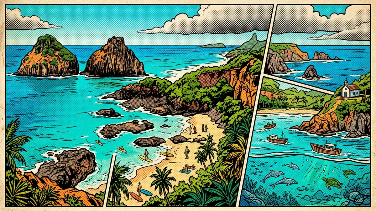
Fernando de Noronha is a small Brazilian archipelago in the Atlantic Ocean, formed by volcanic peaks rising from a submerged ridge off the country’s north?eastern coast. The main island belongs to the state of Pernambuco and much of its land and surrounding waters form part of a protected marine park and World Heritage property, giving this remote outpost a distinctive mix of rugged geology and carefully managed nature.
Volcanic island in the open Atlantic
The Fernando de Noronha archipelago lies off the north?east of Brazil, where peaks of the southern Atlantic submarine ridge break the ocean’s surface far from the mainland. The group consists of multiple islands and islets with a combined land area of about 26 km² (10 sq mi), with only the largest island permanently inhabited.combined land area of about 26 km² The main island itself covers most of this area, rising from the sea in steep slopes and cliffs that show its volcanic origin.volcanic origin
Early European contact dates back to the beginning of the sixteenth century, when the Portuguese crown granted the archipelago in 1504 to the merchant Fernando de Noronha, whose name it still carries.granted the archipelago in 1504 Over time the islands became administratively linked with Pernambuco, and the main island is now organised as a state district within that Brazilian state.state district within Pernambuco Standing on its headlands, the surrounding Atlantic feels close and unbroken, with only smaller rocky islets scattered offshore.
Protected park and World Heritage sea
Most of Fernando de Noronha’s land and adjacent waters fall within conservation designations that limit development and keep large areas as an ecological sanctuary. The Fernando de Noronha Marine National Park covers substantial parts of the main island and many of the smaller islands, extending into surrounding sea to protect underwater habitats as well as the exposed slopes.Marine National Park covers substantial parts The more urbanised sector of the main island is managed separately as an environmental protection area, so that everyday settlement and strictly protected parkland sit side by side.
Fernando de Noronha also forms part of the Brazilian Atlantic Islands: Fernando de Noronha and Atol das Rocas Reserves, a property inscribed on the UNESCO World Heritage List. The inscription recognises the archipelago and nearby Rocas Atoll under natural criteria, highlighting their marine ecosystems, seabird colonies and volcanic island landscapes.Brazilian Atlantic Islands World Heritage Within the World Heritage area, nearly 70% of the main island and many surrounding islets and coastal waters are included, bringing shallow reefs, open ocean and rocky shores into a single protected unit.nearly 70% of the main island
Beaches, headlands and marine life
On the ground, Fernando de Noronha offers a compact landscape where steep green slopes, rock faces and small valleys run down towards narrow strips of sand. The coastline of the main island is broken into coves and bays, some backed by cliffs and others opening out more gently, with offshore rocks and smaller islands punctuating the sea. Many beaches lie within the national park and environmental protection area, so their setting includes natural vegetation rather than continuous urban waterfront.beaches within protected landscape
The surrounding waters are part of the wider marine sanctuary of the archipelago, with reefs, deeper Atlantic drop?offs and open channels supporting varied marine life. Sea turtles, rays and reef fish form part of that underwater environment, and dolphins are associated with the wider Atlantic around the islands.underwater environment Above the waterline, seabirds nest on cliffs and smaller islets, taking advantage of the relative isolation and the protected status of much of the land. The combination of sandy bays, sharp rocks and clear ocean makes the archipelago feel markedly distinct from Brazil’s continental coast, even though it shares the same tropical latitude.
Visiting Fernando de Noronha: what travellers from Western Europe should know
- Fernando de Noronha lies in the Atlantic Ocean north?east of mainland Brazil, administratively part of the state of Pernambuco. Access to the main island is by air from Brazilian coastal cities that sit nearest to the archipelago.
- The main island combines paved settlement streets with parkland slopes and trails, some of which run over uneven volcanic ground and down towards beaches by way of steps or paths.
- The archipelago sits near the equator, so sun exposure is strong on open sections of coastline and along cliff?top viewpoints.
- The official language is Portuguese and the currency is the Brazilian real.
Searching for Fernando de Noronha on social platforms
These links open searches for Fernando de Noronha on each platform.
Frequently asked questions about Fernando de Noronha
Where is Fernando de Noronha?
Fernando de Noronha is a Brazilian archipelago in the Atlantic Ocean, administratively part of the state of Pernambuco and situated off Brazil’s north?eastern coast.
What can visitors expect on a trip to Fernando de Noronha?
Visitors encounter a compact volcanic island landscape of cliffs, beaches and small bays, with large areas of land and surrounding sea designated as protected park and World Heritage property.
What makes Fernando de Noronha distinctive among Brazilian destinations?
The combination of its remote Atlantic location, volcanic geology, state district status within Pernambuco and inclusion in a marine national park and UNESCO World Heritage site gives Fernando de Noronha a character different from mainland coastal resorts.


