
Fish River Canyon’s layered desert chasm near Hobas
Published on 09/21/2026 at 15:32 | Editorial responsibility: Rafael Müller, Editor-in-Chief AD HOC NEWS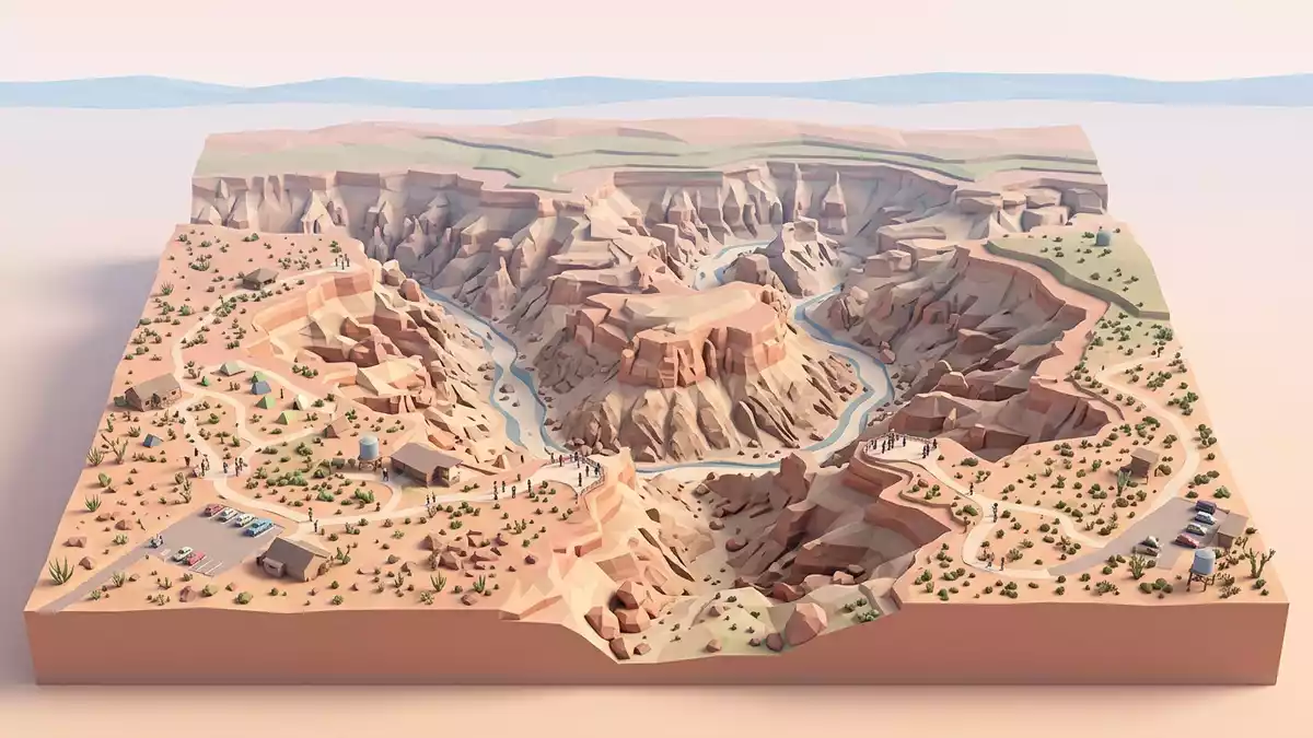
Fish River Canyon in southern Namibia is a desert gorge where the land falls away in terraces, revealing layered rock walls and a winding river far below. From the rim near Hobas, the view traces the canyon’s long sweep across the plateau and into the distance, with horizontal bands of contrasting rock recording a geological history that spans hundreds of millions of years.
A desert canyon carved into a high plateau
Fish River Canyon lies in the ?Karas Region of southern Namibia, within the ?Ai-?Ais/Richtersveld Transfrontier Park, and stretches through arid country towards the South African border.The Fish River Canyon of southern Namibia The main viewpoints near Hobas sit on the edge of a broad plateau, where the land surface appears relatively level before the ground breaks off into the upper canyon.
From the rim, the gorge can be seen running for around 160 km (99 mi), with a width reaching about 27 km (17 mi) in places and depths that approach 550 m (1,804 ft).the canyon measures 160km in length The upper section near Hobas appears as a wide trench, while the inner canyon cuts more deeply, creating stepped walls and terraces that drop towards the river course.
Layered rocks and deep geological time
The canyon walls expose different rock units, giving the cliffs a banded appearance that geologists read almost like a cross-section of southern Namibia’s crust.The canyon walls display the complete sequence At higher levels near the rim, relatively flat-lying sedimentary rocks of the Nama Group form the plateau surface, while lower down, older metamorphic gneiss of the Namaqua Complex appears where the canyon has cut deeper into the basement. These contrasting layers give the walls alternating dark and light bands, emphasised by the desert light.
The basement rocks at the canyon floor formed in the Precambrian, around 1,800 million years ago, long before complex life developed on land.These rocks formed approximately 1,800 million years ago Above them, younger sediments of the Nama Group, dating to roughly 550 million years ago, record periods when shallow seas, glacial conditions and arid environments succeeded one another across this part of what was then the Gondwana supercontinent.Rocks of the Namaqua Metamorphic Complex
Ai-Ais, the Fish River and the hiking route
The Fish River itself flows through the base of the gorge and has cut its way down through both the plateau sediments and the underlying metamorphic rocks.the Fish River over millions of years has managed to cut The broader canyon system extends roughly from near Seeheim in the north to the hot springs at ?Ai-?Ais in the south, where the river continues towards the Orange River and the frontier with South Africa.It begins near the settlement of Seeheim
A multi-day hiking trail descends into the gorge near Hobas and follows the Fish River downstream to ?Ai-?Ais along a route of about 80 to 90 km (50 to 56 mi), using the riverbed and its bends as a natural corridor.the trail generally follows 88 kilometres of the Fish River The descent reaches the canyon floor below the main viewpoints, and the trail continues between sandbanks, boulders and occasional pools, framed by high rock faces that show the transition from sedimentary strata to the older gneiss beneath.
Visiting Fish River Canyon: what travellers from Western Europe should know
- Fish River Canyon lies in southern Namibia’s ?Karas Region, with the main viewpoints reached via the gravel road to Hobas inside the ?Ai-?Ais/Richtersveld Transfrontier Park.
- The rim viewpoints near Hobas stand on a rocky plateau, and short paths from the parking areas lead over uneven ground to low walls at the canyon edge.
- The canyon drops hundreds of metres below the rim, so any descent on the hiking trail involves steep gradients, loose rock and long stretches of walking on sand and riverbed stones.
- The surrounding landscape forms part of a desert region near the Orange River, and shade away from the rim facilities is limited along the driving approaches.
- The official language is English and the currency is the Namibian dollar. Entry requirements depend on your nationality; UK travellers can check the FCDO travel advice at gov.uk/foreign-travel-advice, Irish travellers the Department of Foreign Affairs at ireland.ie.
Searching for Fish River Canyon on social platforms
These links open searches for Fish River Canyon on each platform.
Frequently asked questions about Fish River Canyon
Where is Fish River Canyon and how is it reached?
Fish River Canyon is in southern Namibia’s ?Karas Region, and the main rim viewpoints are accessed by road to Hobas within the ?Ai-?Ais/Richtersveld Transfrontier Park.
What can visitors expect when viewing the canyon near Hobas?
From the viewpoints near Hobas, visitors see a wide desert gorge with layered cliffs, a winding river course and extensive views along the canyon in both directions.
What makes Fish River Canyon distinctive compared with other desert landscapes?
Fish River Canyon combines a deep, long gorge with clearly exposed geological layers, revealing Precambrian basement rocks beneath younger sediments in a single, extensive desert panorama.


