

Fish River Canyon’s vast rock walls near Hobas
Published on 08/17/2026 at 14:37 | Editorial responsibility: Rafael Müller, Editor-in-Chief AD HOC NEWS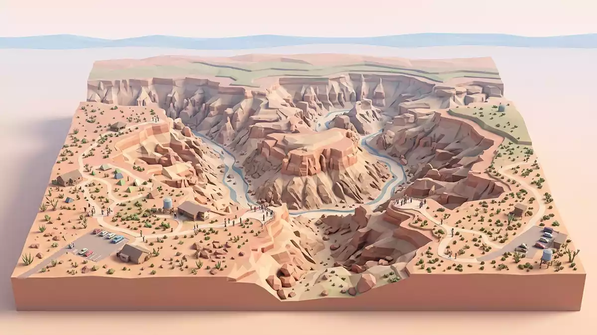
Fish River Canyon near Hobas is a long gorge in southern Namibia, cut through layered rock by the Fish River. The place is marked by scale and exposed geology, not by ornament.
A canyon of layered rock and deep walls
The canyon’s walls show Nama sediments above older metamorphic rock, and the change in strata is visible in the cliff faces. A government publication describes the gorge as 160 to 550 m deep, and UNESCO places it among the world’s largest canyons.160 to 550 m deepworld’s largest canyons
The river has cut through a landscape of hard gneiss, dolomite and other ancient rocks, leaving a canyon with a broad upper section and a deeper lower section. The rock layers give the rim a banded appearance that is clear from the viewpoints around Hobas.
Hobas and the canyon rim
Hobas is the main access point on the Namibian side, and the best-known viewpoints sit near the settlement. The canyon belongs to the /Ai-/Ais-Richtersveld Transfrontier Park, which links Namibia and South Africa.main access point/Ai-/Ais-Richtersveld Transfrontier Park
From the rim, the canyon reads as a long, broken corridor in the desert. The settlement of Hobas gives the landscape a practical reference point without reducing the scale of the gorge.
Fish River, geology and the southern Namibian landscape
The Fish River follows a winding course through southern Namibia before joining the Orange River. Its canyon lies within a broader dry region where exposed bedrock, fault lines and erosion shape the scene.
One published geological review places the canyon in a setting of tectonic movement and long erosion, with the lower gorge incised into underlying rocks. The result is a landscape that shows both the river’s path and the structure of the ground beneath it.geological reviewlower gorge
Visiting Fish River Canyon: what travellers from Western Europe should know
- Hobas is the standard starting point on the Namibian side, reached by road through southern Namibia. The rim viewpoints and park access sit close to the settlement.
- The terrain around the canyon is exposed and uneven, with steep edges and long views into the gorge. The rock faces show clear changes in colour and texture.
- The canyon lies in a dry part of Namibia, and the Fish River itself is part of a desert river system. The landscape is open, with little tree cover near the rim.
- The /Ai-/Ais-Richtersveld Transfrontier Park includes both Namibian and South African land. Fish River Canyon forms part of that larger protected landscape.
Searching for Fish River Canyon on social platforms
These links open searches for Fish River Canyon on each platform.
Frequently asked questions about Fish River Canyon
Where is Fish River Canyon?
It lies in southern Namibia near Hobas, within the /Ai-/Ais-Richtersveld Transfrontier Park. The canyon sits in a dry landscape close to the border with South Africa.
What does a visit involve?
The main impression comes from the rim viewpoints, the broad gorge and the exposed rock walls. Hobas is the usual reference point for reaching the canyon on the Namibian side.
What makes Fish River Canyon distinctive?
Its scale and layered geology define it, with a deep gorge cut through ancient rock. The canyon’s shape reveals both erosion and the structure of the land.


