
Freedom Trail in Boston as a single walk through revolution
Published on 08/16/2026 at 13:15 | Editorial responsibility: Rafael Müller, Editor-in-Chief AD HOC NEWS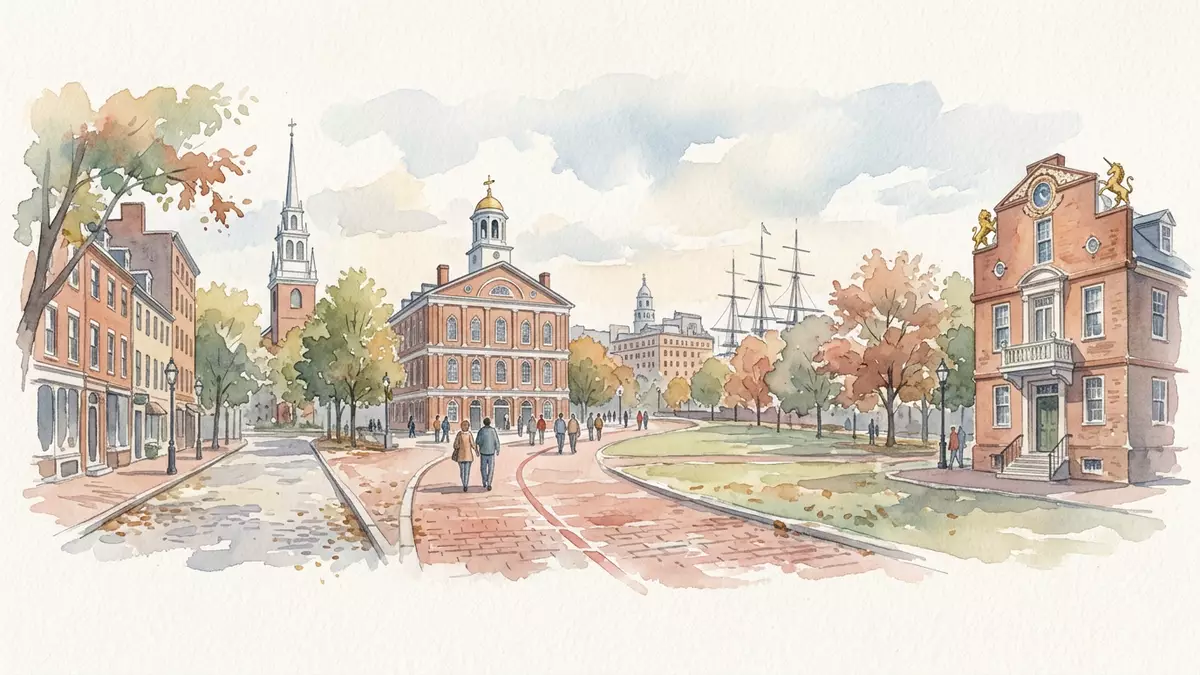
Freedom Trail in Boston is a marked route that threads through the city’s historic neighbourhoods, linking a sequence of landmark sites into a single continuous walk through the era of the American Revolution. Laid out in the mid?twentieth century and officially dedicated in 1951, it gathers colonial streets, meeting houses, churches, burying grounds and monuments into one path that can be followed step by step from the city’s central park to the heights above Charlestown.
A red line through Boston’s revolutionary landscape
At its core, Freedom Trail is a path traced on the ground by a red-brick or red-painted line that visitors can follow across pavements and squares as it runs through central Boston. The route is widely described as about 2.5 miles, or roughly 4 km, and it connects a set of formally recognised historic sites that together tell the story of Boston’s role in the founding of the United States.2.5-mile red line The walk links locations where political meetings were held, protests began, speeches were delivered and battles were later commemorated, turning a scattered cityscape into a coherent historical route.
The trail begins at Boston Common, the city’s central public park and a landscape that dates back to the seventeenth century as a communal ground.Boston Common starting point From there, the red line leads uphill towards the Massachusetts State House, whose golden-domed presence signals the seat of the Commonwealth’s government, before turning past churches and early streets where merchants, printers and activists lived and worked. The path passes through the city’s downtown, into the North End and across the water to Charlestown, finishing at the Bunker Hill Monument, a tall granite obelisk that marks one of the first major battles of the American Revolution.route from Boston Common to Bunker Hill
Sixteen sites linked by one historic walk
Freedom Trail is defined not only by its red line but by the group of sixteen official sites it connects, each with its own fabric, date and story. The list begins with Boston Common and the Massachusetts State House, then includes Park Street Church and Granary Burying Ground, where gravestones recall figures associated with the revolution and the early republic.official trail sites Further along stand King’s Chapel and King’s Chapel Burying Ground, the site of the former Boston Latin School marked by a statue of Benjamin Franklin, and the Old Corner Bookstore, a timber and brick structure that later became associated with nineteenth?century publishing.
As the trail crosses the older commercial core, it picks out Old South Meeting House and the Old State House, both central to the political debates that preceded independence, as well as the marked Boston Massacre Site and Faneuil Hall with its market and meeting spaces.collection of 16 historic sites In the North End, the route passes the Paul Revere House, a late seventeenth?century dwelling that later belonged to the craftsman and rider known for his warning ride, and the Old North Church, associated with the lantern signal “one if by land, two if by sea”. Copp’s Hill Burying Ground provides another view of early Boston’s society through its gravestones, before the path reaches the waterfront and the preserved wooden frigate USS Constitution and finally climbs to the Bunker Hill Monument above Charlestown.sites from Boston Common to USS Constitution and Bunker Hill
From 1951 dedication to a recognised heritage route
Although the places along Freedom Trail date to the seventeenth, eighteenth and nineteenth centuries, the trail itself belongs to the mid?twentieth century, when Boston residents and officials began to link historic sites in a more deliberate way. The idea is credited to journalist Bill Schofield, a writer for a Boston newspaper, and Bob Winn, a member of Old North Church, who argued for a clearer route tying landmarks together; Boston mayor John Hynes took up the proposal and the city dedicated the trail in 1951.conceived by Bill Schofield and Bob Winn and dedicated in 1951 Early versions relied on signs rather than a continuous red marking, and the path was shorter, ending in the North End before later extensions carried it across to Charlestown.
By the early 1970s the trail had been extended to include both the USS Constitution and the Bunker Hill Monument, giving the walk its familiar span from the central park to the memorial overlooking the Charles River.expansion to Charlestown in 1972 Over time, organisations and public agencies worked together to preserve, interpret and present the sixteen sites as a connected heritage route, and the red line became an emblem seen in guidebooks and city maps. Freedom Trail’s significance has also been recognised beyond Boston; it has been designated a National Millennium Trail in the United States, marking it out as part of a wider programme of cultural routes.National Millennium Trail designation
Visiting Freedom Trail: what travellers from Western Europe should know
- Freedom Trail runs through central Boston in the state of Massachusetts in the United States and is reached on foot from downtown streets, with the route beginning at Boston Common and extending towards Charlestown.
- The walk uses ordinary city pavements and crossings but also includes slopes, sections of cobbled or uneven ground and stairways at some sites, so footwear suited to urban walking over several kilometres is helpful.
- The official language is English and the currency is the United States dollar.
- Entry requirements depend on your nationality; UK travellers can check the FCDO travel advice at gov.uk/foreign-travel-advice, Irish travellers the Department of Foreign Affairs at ireland.ie.
Searching for Freedom Trail on social platforms
These links open searches for Freedom Trail on each platform.
Frequently asked questions about Freedom Trail
Where is Freedom Trail and what does it connect?
Freedom Trail is in Boston, Massachusetts in the United States and links sixteen historic sites along a signed route from Boston Common to the Bunker Hill Monument in Charlestown.
What can visitors expect when walking Freedom Trail?
Visitors follow a red-brick or painted line through city streets that guides them past parks, churches, meeting houses, burying grounds, a historic ship and a memorial tower, with each stop marked and interpretable on foot.
What makes Freedom Trail distinctive compared with other historic walks?
Its combination of a continuous marked path, formally defined set of sixteen sites and mid?twentieth?century creation linking much older buildings and monuments gives Freedom Trail a particular identity as a curated walk through American revolutionary history.


