
Gullni hringurinn from Selfoss, Iceland’s loop of fire and water
Published on 09/18/2026 at 12:44 | Editorial responsibility: Rafael Müller, Editor-in-Chief AD HOC NEWS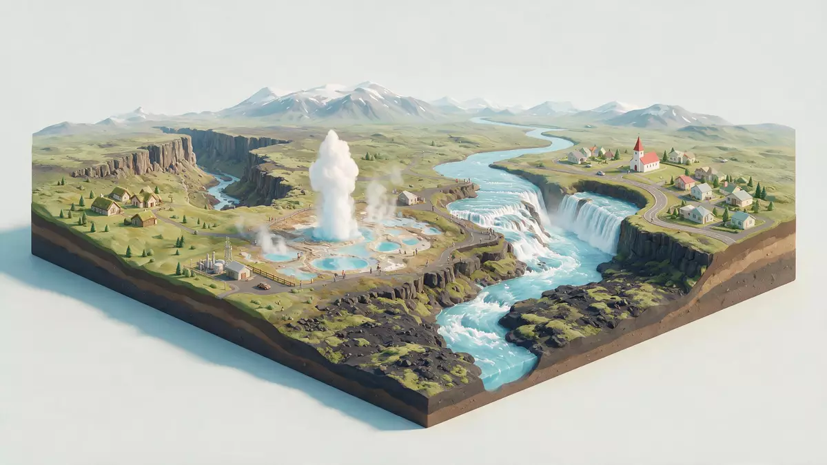
Gullni hringurinn is Iceland’s Golden Circle, a touring loop in southwest Iceland that includes Þingvellir, Haukadalur and Gullfoss. Selfoss sits on the southern side of the route, where the main road meets inland branches.
A route shaped by rift valley, geysers and waterfall
The route links three distinct landscapes. Þingvellir is a rift valley with a national park designation, Haukadalur holds the geothermal fields around Geysir and Strokkur, and Gullfoss drops through a narrow river gorge.
The route is a familiar way to read Iceland’s geology in one circuit. Its appeal lies in that sequence: cracked basalt country, steaming ground and a major waterfall in a single day’s drive.
Selfoss as the southern gateway
Selfoss gives the route a clear orientation point in the south. From there, roads lead inland towards Þingvellir and the central uplands before curving back towards the coast.
The town also places the loop in a wider South Iceland setting. Reykjavík lies to the north-west, and the route runs through territory associated with Suðurland.
From national park to river gorge
Þingvellir is the route’s historical and geological anchor. Its landscape combines open lava fields, a lake basin and the long fissured terrain of the rift zone.
Haukadalur brings the thermal element, with geysers and hot spring ground set in a broad valley floor. Gullfoss then changes the scale again, with the Hvítá forcing its way into a stepped canyon.
Visiting Gullni hringurinn: what travellers from Western Europe should know
- Selfoss is the most useful southern orientation point on the route, and the main road connects the town with inland roads towards Þingvellir and Haukadalur.
- The circuit is road-based, with long stretches through open countryside and volcanic terrain. The landscape includes lava fields, geothermal ground and river valleys.
- Þingvellir, Haukadalur and Gullfoss are the core stops most closely associated with Gullni hringurinn.
- Icelandic is the official language and the currency is the Icelandic krona.
Searching for Gullni hringurinn on social platforms
These links open searches for Gullni hringurinn on each platform.
Frequently asked questions about Gullni hringurinn
Where is Gullni hringurinn?
Gullni hringurinn is a touring loop in southwest Iceland. Selfoss sits on its southern side, with the route extending towards Þingvellir, Haukadalur and Gullfoss.
What does a visit involve?
It is a road journey through open volcanic country, with major stops linked by paved routes. The landscape changes between rift valley, geothermal ground and a waterfall gorge.
What makes it distinctive?
The route brings together three of Iceland’s best-known natural settings in one circuit. Þingvellir, Haukadalur and Gullfoss give it a clear geological sequence.


