
Kapadokya’s carved valleys and cave churches around Göreme
Published on 08/19/2026 at 19:06 | Editorial responsibility: Rafael Müller, Editor-in-Chief AD HOC NEWS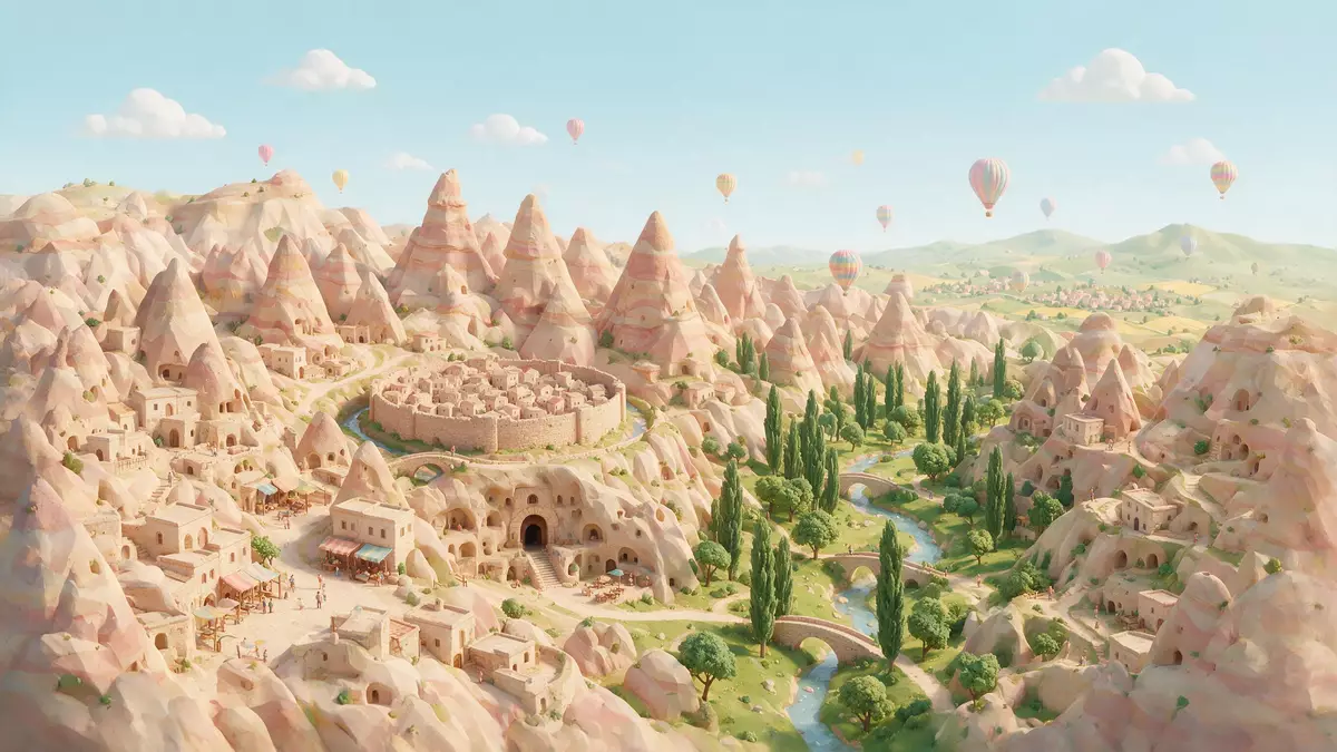
Kapadokya around Göreme is a landscape where soft volcanic rock has been carved into valleys, pinnacles and cave churches, combining geology and human settlement in central Türkiye in a way that is immediately visible in the terrain. The area forms part of Göreme National Park and the Rock Sites of Cappadocia, a UNESCO World Heritage property inscribed in 1985 and recognised for both its natural landforms and its rock?cut architecture.
Volcanic tuff and the fairy chimneys of Kapadokya
Kapadokya lies on the Central Anatolia plateau, a highland shaped by widespread volcanic activity and subsequent erosion over millions of years. The region’s bedrock consists largely of soft volcanic tuff, ignimbrite and related deposits formed from ash and pyroclastic flows, which blanket the plateau in layers that can be traced across a wide area.Volcanism and evolution of the landscapes in Cappadocia These layers, known in part as the Ürgüp Formation, alternate with harder caps of rock, creating the structural contrast that underlies the sculpted landforms.Cappadocia Fairy Chimneys | KÜRE Encyclopedia
Wind and water have cut into this tuff to form the conical pillars and ridges that Kapadokya is widely associated with, locally known as “fairy chimneys” or peri bacalar?. In the valleys around Göreme, Uçhisar and Ürgüp, these landforms rise from the slopes with harder rock at their tops, standing alongside cliffs etched into flowing patterns of pale and reddish stone.Göreme National Park and the Rock Sites of Cappadocia The plateau itself reaches elevations of around 1,000 m (3,281 ft), and the eroded valleys cut down from it, so that ridge lines and rock towers often stand above cultivated floors in the hollows.Göreme National Park and the Rock Sites of Cappadocia
Göreme National Park and a World Heritage landscape
Göreme National Park and the Rock Sites of Cappadocia cover an area between the towns of Nev?ehir, Ürgüp and Avanos, taking in valleys, pinnacles and a series of rock?cut settlements and underground cities.Göreme National Park and the Rock Sites of Cappadocia Within this protected landscape lie the subterranean complexes of Kaymakl? and Derinkuyu, as well as rock villages such as Uçhisar and the open valleys around Göreme itself.
The site entered the UNESCO World Heritage List in 1985 for both natural and cultural criteria, recognising the combination of a landscape sculpted by erosion and a dense concentration of rock?hewn architecture.Year of inscription 1985 The inscription notes the valleys and pinnacles as a landscape entirely shaped by erosion, while also highlighting the rock?cut sanctuaries and dwellings that bear witness to long histories of settlement and religious life around Göreme.
Göreme’s cave churches and Byzantine painting
Among the most distinctive elements of Kapadokya near Göreme is the Göreme Open Air Museum, a concentration of rock?cut monasteries and churches carved into the tuff slopes close to the settlement. The complex forms part of the same World Heritage property and gathers a cluster of chapels and refectories in a relatively compact area.Göreme Open Air Museum Many of these churches, such as the Dark Church and Tokal? Church, are known for the density of their decoration and the preservation of their interior surfaces.
The wall paintings that cover these interiors belong mainly to the Byzantine period, with a concentration in the post?Iconoclastic centuries from around the tenth to the twelfth century, depicting scenes from the New Testament, the lives of saints and figures of church fathers.Göreme Open Air Museum history and frescoes In several churches the painted programme extends across domes, walls and arches, combining large narrative scenes with bands of smaller portraits, and the cave setting means rock surfaces and painting are part of a single carved space rather than applied to separate masonry.
Visiting Kapadokya: what travellers from Western Europe should know
- Kapadokya lies in central Türkiye, in the Central Anatolia Region, with Göreme between Nev?ehir, Ürgüp and Avanos; road connections link the valleys with the regional centres named in the World Heritage description.
- The terrain around Göreme consists of eroded valleys and slopes in soft volcanic tuff, with paths that can involve loose surfaces, steps cut into rock and sections on uneven ground.
- Rock?cut churches and dwellings in the Göreme Open Air Museum and neighbouring valleys are reached by walking on paths and climbing short flights of rock steps inside and outside the carved spaces.
- The region’s plateau elevation around 1,000 m (3,281 ft) means approaches may include modest height differences between village streets, viewpoints and valley floors within a compact area.
- The official language is Turkish and the currency is the Turkish lira. Entry requirements depend on your nationality; UK travellers can check the FCDO travel advice at gov.uk/foreign-travel-advice, Irish travellers the Department of Foreign Affairs at ireland.ie.
Searching for Kapadokya on social platforms
These links open searches for Kapadokya on each platform.
Frequently asked questions about Kapadokya
Where is Kapadokya and Göreme located?
Kapadokya is a historical region in central Türkiye, centred on the Central Anatolia plateau, with Göreme situated between Nev?ehir, Ürgüp and Avanos in the core World Heritage landscape.
What can visitors expect when exploring Göreme and its surroundings?
Visitors encounter eroded valleys in soft volcanic tuff, clusters of fairy?chimney pillars and a concentration of rock?cut churches and dwellings, especially within the Göreme Open Air Museum and nearby valleys.
What makes Kapadokya around Göreme distinctive compared with other regions?
The combination of a volcanic plateau carved into fairy chimneys and a dense ensemble of cave churches with Byzantine frescoes, recognised in the 1985 UNESCO inscription, gives Kapadokya around Göreme its distinctive character.


