
Khao Phing Kan and the leaning limestone cliffs of Phang Nga Bay
Published on 09/19/2026 at 10:45 | Editorial responsibility: Rafael Müller, Editor-in-Chief AD HOC NEWS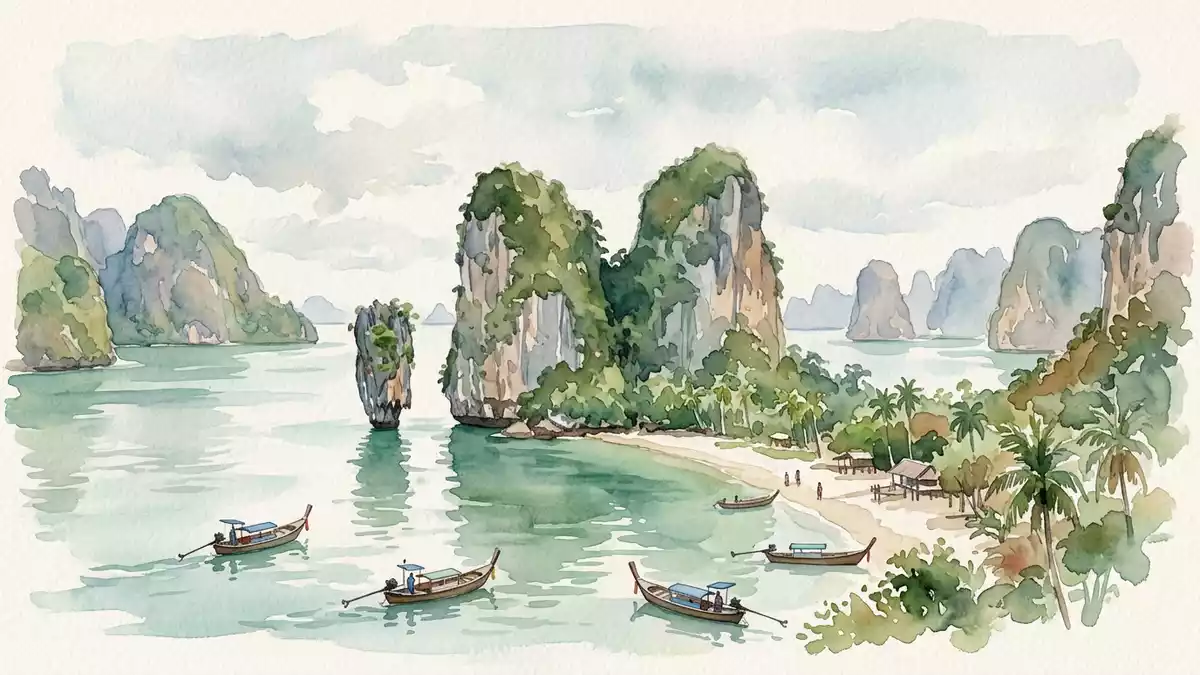
Khao Phing Kan in Phang Nga Bay in southern Thailand is a compact island landscape where limestone cliffs lean together above shallow tidal water, framed by the slender sea stack of Ko Tapu just offshore. The bay forms part of Ao Phang Nga National Park in Phang Nga Province and has become widely associated with the 1974 James Bond film “The Man with the Golden Gun”, which used Khao Phing Kan and Ko Tapu as a dramatic hideout setting.Phang Nga Bay in southern Thailand
Leaning cliffs and the twin-hill island
Khao Phing Kan consists of limestone “tower karsts”, steep-sided blocks of rock that rise abruptly from the sea and form an island with twin hills leaning towards one another.limestone tower karsts The Thai name is often translated as “hills leaning against each other”, a reference to the way the cliffs slope inwards, creating a narrow interior valley and short sandy beaches exposed at lower tide levels.twin?hill island of Khao Phing Kan
The island lies in the north-western part of Phang Nga Bay between Phuket and the mainland province of Phang Nga, surrounded by other limestone hills and tidal channels.north?western part of Phang Nga Bay Its cliffs rise directly from the water, with vegetation clinging to the rock faces and narrow strips of sand at their base, so the main experience on Khao Phing Kan is walking short distances between the sheer slopes and viewing the surrounding bay from different angles.
Ko Tapu: the nail-like sea stack
Just off the main beach of Khao Phing Kan stands Ko Tapu, a separate limestone pillar emerging from the shallow water and forming the second half of the landscape often associated with James Bond Island.Ko Tapu forms part of the same karst system The name Ko Tapu is usually rendered as “nail island”, echoing its spike-like outline rising from the bay, with a narrow base near the water line and a broader top carrying vegetation.Ko Tapu is a limestone rock about 20 metres tall
Ko Tapu stands a short distance off Khao Phing Kan’s main shore, separated by a shallow channel where long-tail boats and other small vessels approach for views of the pillar against the leaning cliffs behind.the pillar stands a short distance from the main beach From the beaches on Khao Phing Kan, the composition of Ko Tapu in the foreground and the twin hills forming the backdrop can be seen from several angles, and the tide exposes changing strips of sand and silt at the base of the rocks.
Karst geology and cinematic setting
The limestone of Phang Nga Bay began forming in the Permian period, when the area was a shallow sea where sediments from marine organisms accumulated into thick layers that later hardened into rock.limestone of Phang Nga Bay began forming about 295 to 250 million years ago Tectonic movements lifted these layers and fractured them into separate blocks, and the combination of tropical rainfall, tidal currents and waves gradually sculpted the limestone into the steep-sided karst towers and sea stacks seen around Khao Phing Kan.karstification and erosion shaping the islands
Khao Phing Kan and Ko Tapu gained worldwide visibility through the 1974 James Bond film “The Man with the Golden Gun”, which used the island group as the hideout of the antagonist and showed the needle-like pillar rising from the bay.featured prominently in the 1974 film Since the film’s release, “James Bond Island” has become a commonly used English name for Khao Phing Kan, and the combination of leaning cliffs, narrow beaches, caves and the offshore pillar has turned the island into one of the best-known rock formations in Phang Nga Bay, framed by the wider national park seascape.small island in Phang Nga Bay
Visiting Khao Phing Kan: what travellers from Western Europe should know
- Khao Phing Kan lies in Phang Nga Bay in southern Thailand, north-east of Phuket and near the mainland province of Phang Nga, and is reached by boat services operating across the bay.
- The terrain on the island consists of short sandy beaches, uneven rocky ground and steep limestone slopes, with paths and steps rising around the cliffs between small coves.
- Nearby landscapes include other limestone karst islands of Ao Phang Nga National Park and the wider Andaman Sea coast of southern Thailand, which form the backdrop to views from Khao Phing Kan.
- The official language is Thai and the currency is the Thai baht; entry requirements depend on your nationality, UK travellers can check the FCDO travel advice at gov.uk/foreign-travel-advice, Irish travellers the Department of Foreign Affairs at ireland.ie.
Searching for Khao Phing Kan on social platforms
These links open searches for Khao Phing Kan on each platform.Frequently asked questions about Khao Phing Kan
Where is Khao Phing Kan located?
Khao Phing Kan is an island group in Phang Nga Bay in southern Thailand, lying north-east of Phuket and within Ao Phang Nga National Park in Phang Nga Province.
What should visitors expect on a visit to Khao Phing Kan?
Visitors encounter steep limestone cliffs, short sandy beaches, caves and tidal channels, together with views of the slender sea stack Ko Tapu rising from the shallow bay just offshore.
What makes Khao Phing Kan distinctive among Phang Nga Bay’s islands?
The island’s twin hills leaning together above the sea and the nearby needle-like pillar of Ko Tapu form a compact composition, recognised internationally through the James Bond film shot there in 1974.


