
Lago de Atitlan and Panajachel in a volcanic Guatemalan basin
Published on 09/04/2026 at 11:18 | Editorial responsibility: Rafael Müller, Editor-in-Chief AD HOC NEWS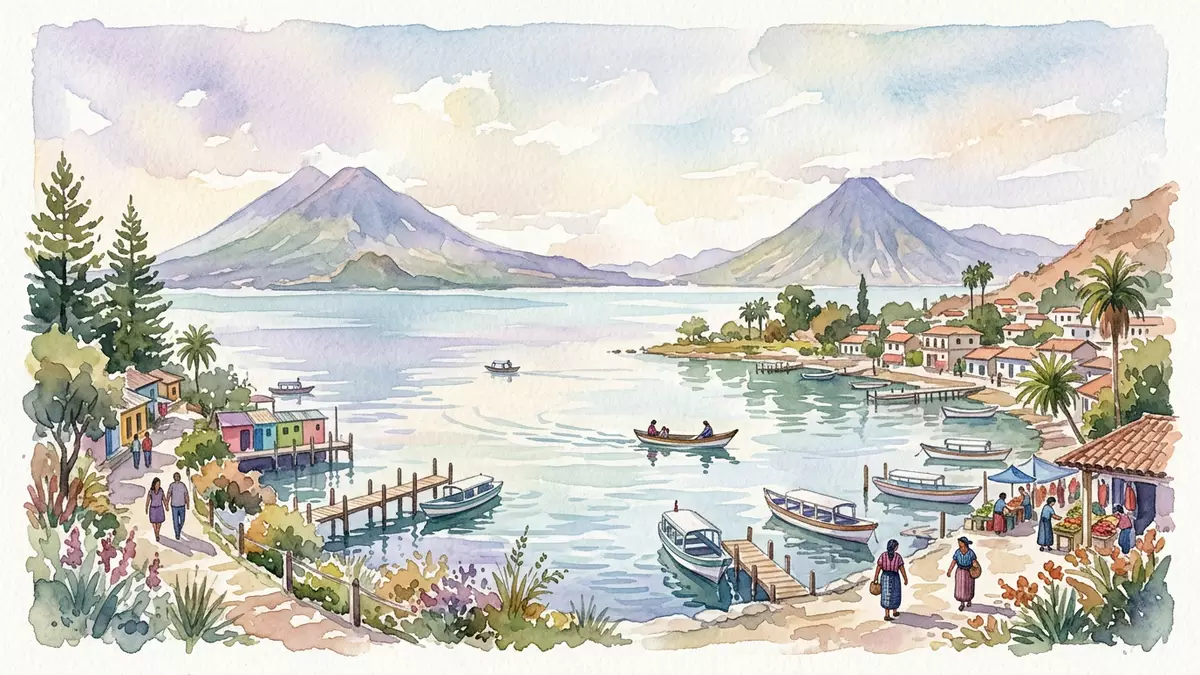
Lago de Atitlan is a deep volcanic lake in south-western Guatemala, lying within a broad basin of the Sierra Madre and backed by the town of Panajachel on its north-eastern shore. The water surface sits at around 1,562 m (5,125 ft) above sea level, enclosed on all sides by steep slopes and the silhouettes of three stratovolcanoes along the southern rim.
A caldera lake framed by volcanoes
Lago de Atitlan occupies the northern part of the Atitlan III caldera, a volcanic depression formed by a major explosive eruption in the Late Pleistocene roughly 84,000 years ago.Late Pleistocene caldera The basin left by that collapse filled with water, producing a lake more than 300 m (984 ft) deep with a relatively flat floor that contrasts with the sharply rising surrounding slopes.more than 300 m deep The lake’s shape follows the caldera outline, with the widest span running roughly east–west and narrower reaches extending between headlands and river deltas.
On the southern side of Lago de Atitlan three prominent stratovolcanoes rise above the shore: Volcán San Pedro, Volcán Tolimán and Volcán Atitlán.San Pedro, Tolimán and Atitlán Their peaks reach well over 3,000 m (9,843 ft), stepping up from west to east and forming a continuous backdrop of forested ridges and volcanic cones visible from many points around the lake.three stratovolcanoes in line Together the caldera, the deep water and the volcanoes give Lago de Atitlan a landscape where steep volcanic walls drop directly into the lake, with only narrow shelves of cultivated land and village terraces between rock and water.
Panajachel on the north-eastern shore
Panajachel lies on the north-eastern shore of Lago de Atitlan, on an alluvial delta formed by the Panajachel River.alluvial delta formed by the river The town belongs to the Sololá Department in Guatemala’s western highlands and sits within the wider volcanic basin defined by the lake and surrounding slopes.Sololá Department settlement Streets run roughly perpendicular to the shore, rising gradually inland from the lakeside towards higher ground, with views opening along their length back to the water and across to the southern volcanoes.
An approach from Guatemala City by road reaches Panajachel along highland routes that descend towards the lake basin before levelling out on the delta. From the lakeside jetties at Panajachel, small public boats cross to other settlements on the lake, linking the town with Maya communities such as San Pedro La Laguna and Santiago Atitlán that are built on narrower strips of shore and lower slopes.gateway town for boats Panajachel’s position gives wide views down the length of the lake, and its streets carry a mixture of local shops, accommodation and eateries serving travellers and residents.
Maya villages, lake life and highland light
Lago de Atitlan is ringed by a series of shoreline and slope-side villages, many of them predominantly Maya communities whose languages and traditions differ from one settlement to the next.Maya villages around the lake Santiago Atitlán spreads between the lake and surrounding hills at the south-western end, while San Pedro La Laguna occupies a slope below Volcán San Pedro; other villages line the northern and western shores in smaller clusters of houses, fields and docks. The relationship between water, steep land and settlement is visible everywhere: terraced plots, narrow roads cut into the slopes and steps leading down to simple landing stages at the lake’s edge.
On the water itself, small motorboats and larger launches shuttle between points on the shore, forming a practical route network in a basin where road connections need to climb and loop around steep terrain. The lake type is endorheic, with no surface outlet, so its level responds to rainfall and evaporation rather than to a through-flowing river system.endorheic lake without outlet Sunlight across the water changes through the day between clear visibility of the volcano profiles and more diffused light when clouds gather on the ridges, while the highland elevation gives a distinct clarity to views downshore and across the basin.
Visiting Lago de Atitlan: what travellers from Western Europe should know
- Lago de Atitlan lies in the Sololá Department of south-western Guatemala, reached by road from Guatemala City with Panajachel serving as a main gateway on the north-eastern shore.
- The basin is formed by steep volcanic slopes and river-cut deltas, so many approaches involve gradients, stepped paths and lakeside jetties where boarding small boats requires steady footing.
- The official language is Spanish and the currency is the Guatemalan quetzal; entry requirements depend on your nationality, UK travellers can check the FCDO travel advice at gov.uk/foreign-travel-advice, Irish travellers the Department of Foreign Affairs at ireland.ie.
Searching for Lago de Atitlan on social platforms
These links open searches for Lago de Atitlan on each platform.
Frequently asked questions about Lago de Atitlan
Where is Lago de Atitlan?
Lago de Atitlan lies in the Sololá Department of south-western Guatemala, within the Guatemalan Highlands and the Sierra Madre mountain range, with Panajachel on its north-eastern shore.
What can visitors expect on a visit to Lago de Atitlan?
Visitors encounter a deep highland lake enclosed by steep volcanic slopes, a chain of Maya villages linked by road and boat, and open views towards the southern stratovolcanoes rising above the water.
What makes Lago de Atitlan distinctive?
The combination of an 84,000-year-old caldera basin, more than 300 m of water depth and three prominent volcanoes along the southern shore gives Lago de Atitlan a sharply defined volcanic landscape rare among Central American lakes.


