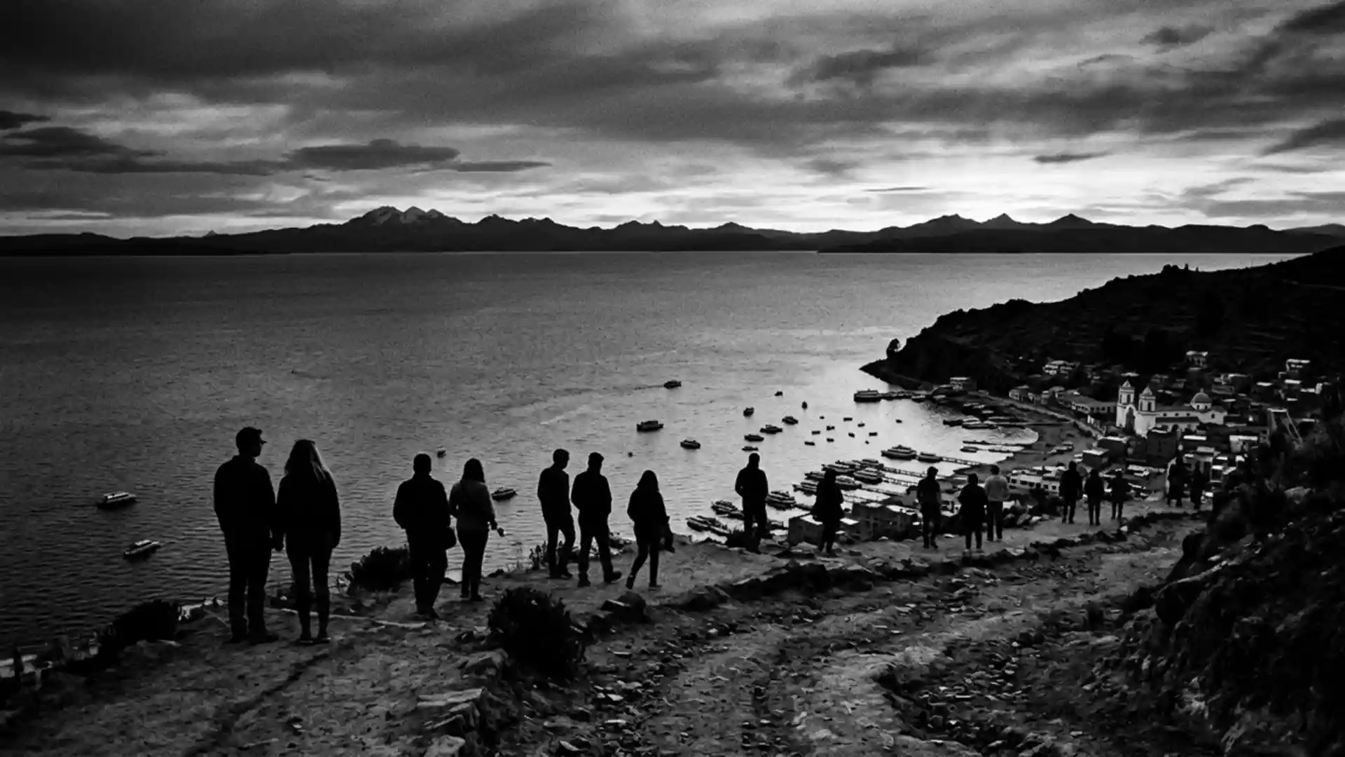
Lago Titicaca at Copacabana, Bolivia’s high-altitude shore
Published on 08/16/2026 at 14:54 | Editorial responsibility: Rafael Müller, Editor-in-Chief AD HOC NEWS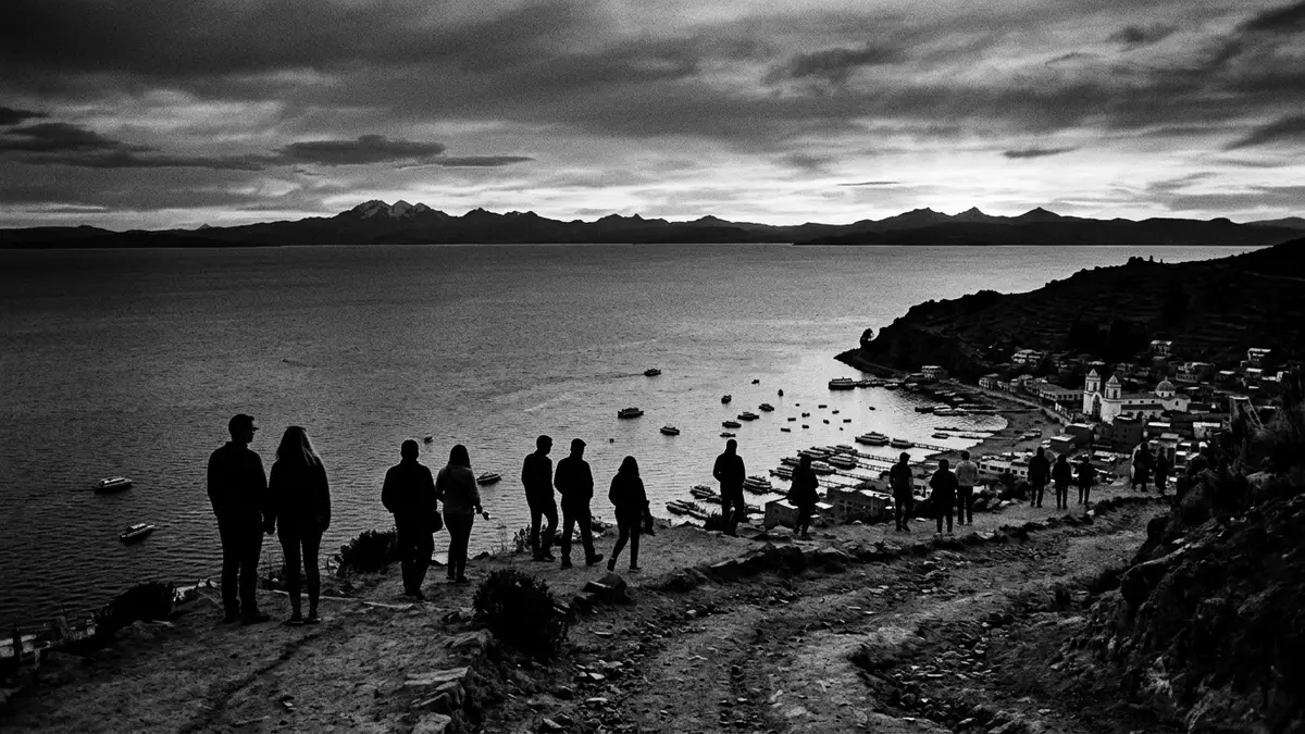
Lago Titicaca stretches along the Bolivian–Peruvian border as a vast high-altitude lake, with Copacabana sitting on a peninsula on its southern shore in the La Paz Department. Set in the Andes at around 3,800 m (12,500 ft), this expanse of water forms a broad basin of deep blue framed by hills and distant peaks.
A high Andean lake between Bolivia and Peru
Lago Titicaca lies in a tectonic basin of the central Andes, shared between Bolivia and Peru and surrounded by ridges and peninsulas that break its outline into bays and inlets. It is widely described as South America’s largest lake by surface area and as the highest commercially navigable lake on earth, with figures for its area and altitude that place it among the continent’s most prominent bodies of water.South America’s largest lake Its waters reach a length of close to 200 km and a width that, at its broadest, spans several dozen kilometres, with measured depths that sink well beyond 100 m.area, altitude and depth
The lake’s surface sits at more than 3,800 m (around 12,500 ft) above sea level, making every view from Copacabana a combination of water and altitude. On the Bolivian side, the Copacabana peninsula juts into the south-eastern part of the lake, while across the water the Peruvian shore continues towards Puno, one of the largest settlements along Titicaca’s banks.division between Bolivia and Peru Smaller islands, including Isla del Sol and Isla de la Luna, rise within sight of the Bolivian town and have long been associated with regional cultures and pilgrimage routes.access points and islands
Copacabana: lakeside town and pilgrimage centre
Copacabana is a Bolivian town and municipality on the shore of Lago Titicaca, capital of the Manco Kapac Province in the La Paz Department.capital of Manco Kapac Province The settlement occupies the western side of the Copacabana peninsula, wedged between low hills and facing the lake in a broad bay, with streets that descend towards the waterfront and the small harbour where boats depart for the islands.
Copacabana’s role as a religious centre reaches back to pre-Hispanic times, when the region functioned as a ceremonial landscape for Andean cultures. The town later became a major Catholic pilgrimage destination within Bolivia, centred on a basilica dedicated to the Virgin of Copacabana, and is described as one of the country’s most important pilgrimage sites.Bolivia’s most important pilgrimage site Religious festivals converge on the town and its sanctuary, adding another layer to its lakeside character.
Isla del Sol, Isla de la Luna and the lake’s cultural landscape
North of Copacabana, Isla del Sol rises from Lago Titicaca as one of the lake’s best-known islands, accessible by boat from the town’s waterfront.boats to Isla del Sol Archaeological remains and terraced slopes give the island a distinct profile, and its association with Andean origin stories places it firmly within the cultural geography of Titicaca. Nearby Isla de la Luna shares this setting, forming a pair of islands that extend the lake’s horizon with stepped hillsides and small communities linked by paths and jetties.boat routes to the islands
Pilgrims and travellers moving between Copacabana and these islands experience Lago Titicaca as a connected landscape of peninsulas, bays and island ridges. Copacabana itself has been described as a stop on traditional routes towards the islands, and the municipality’s territory extends to lake waters along its northern, western and eastern sides, with Peru lying directly across the water to the south.municipal boundaries on the lake Together, town, lake and islands form a single scene in which religious architecture, Andean topography and inland water meet.
Visiting Lago Titicaca: what travellers from Western Europe should know
- Lago Titicaca can be reached on the Bolivian side through Copacabana, a town in the La Paz Department situated on a peninsula on the lake’s southern shore; buses from La Paz cross the Tiquina Strait before continuing to the bay.
- The altitude of Lago Titicaca and Copacabana is over 3,800 m (12,500 ft), so streets and paths rise and fall across sloping ground, and approaches to viewpoints and island trails involve steady gradients.
- From Copacabana’s waterfront, boats run across Lago Titicaca to Isla del Sol and Isla de la Luna, using simple piers and small harbours where boarding involves stepping between quays and boat decks.
- The town of Copacabana includes a lakeside promenade, a small harbour area and hills such as Cerro Calvario overlooking Lago Titicaca, all of them reached on foot along streets and stairways.
- The official language is Spanish and the currency is the Bolivian boliviano; entry requirements depend on your nationality; UK travellers can check the FCDO travel advice at gov.uk/foreign-travel-advice, Irish travellers the Department of Foreign Affairs at ireland.ie.
Searching for Lago Titicaca on social platforms
These links open searches for Lago Titicaca on each platform.
Frequently asked questions about Lago Titicaca
Where is Lago Titicaca in relation to Copacabana?
Lago Titicaca forms the lake beside Copacabana in the La Paz Department of Bolivia, with the town occupying a peninsula that extends into its southern waters.
What should travellers expect on a visit to Lago Titicaca at Copacabana?
Travellers encounter a high-altitude lake, a lakeside town with religious architecture and a waterfront, and boat connections to nearby islands with terraced slopes and paths.
What makes Lago Titicaca near Copacabana distinctive?
The combination of an extensive Andean lake at over 3,800 m (12,500 ft), a long-standing pilgrimage centre at Copacabana and nearby islands linked to regional traditions makes this part of Titicaca distinctive.