
Loch Nis and the long water of the Great Glen
Published on 09/17/2026 at 09:56 | Editorial responsibility: Rafael Müller, Editor-in-Chief AD HOC NEWS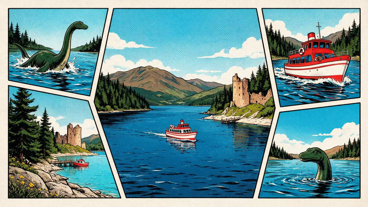
Loch Nis is the Scottish Gaelic name for Loch Ness, a long freshwater loch south-west of Inverness. Its length, depth and river outlet make it a place defined by scale as much as by scenery.
Loch Nis and the Great Glen line
The loch lies in the Highland council area and runs through the Great Glen, the broad geological corridor that cuts across the Highlands. It measures about 36 km (22.5 miles) long and reaches 229.8 m (754 ft) deep, placing it among Scotland’s deepest lakes.36 km long
At the northern end, the River Ness flows out towards Inverness and the Moray Firth. The loch sits at about 15.8 m above sea level, and its water volume is large enough to dominate the basin’s identity rather than any single shoreline village.River Ness outlet
Thomas Telford’s canal corridor
Loch Nis forms part of the Caledonian Canal system, linked with Loch Oich, Loch Lochy and Loch Dochfour. The canal opened in 1822 and is associated with Thomas Telford, whose engineering stitched the eastern and western sides of Scotland into one waterway.opened 1822
The loch’s shoreline is long, with settlements and landmarks spaced along its margins rather than grouped into one dense centre. That spread is part of its character: the place reads as a corridor of water, villages and hill slopes, not as a single enclosed basin.
Inverness at the northern end
Inverness stands at the outlet of the River Ness, where the water leaves the loch and enters the route system of northern Scotland. The city is the long-established centre of the Highlands and has been tied to the loch’s geography for centuries.centre of the Highlands
The setting combines river, canal and historic city. That mix gives Loch Nis a second identity beyond the lake itself: it is also the upstream face of Inverness, where water and transport routes meet.
Visiting Loch Nis: what travellers from Western Europe should know
- Loch Nis lies south-west of Inverness in the Scottish Highlands. The A82 follows much of the western shore, and the Caledonian Canal connects the loch with the wider inland waterway system.
- The loch is long and deep, with a broad sweep of water and a low shoreline altitude. The scale of the basin is part of the landscape, and the waterline sits close to the level of the surrounding ground.
- Urquhart Castle stands on the western shore near Drumnadrochit. The loch also has settlements along both sides, including Fort Augustus at the southern end.
- The waters are freshwater and the basin is large enough to have inspired a long tradition of monster lore. That folklore is part of the place’s cultural identity, alongside the geology and the canal.
Searching for Loch Nis on social platforms
These links open searches for Loch Nis on each platform.
Frequently asked questions about Loch Nis
Where is Loch Nis?
Loch Nis is the Gaelic name for Loch Ness in the Scottish Highlands. It lies south-west of Inverness and forms part of the Great Glen route across Scotland.
What can be seen on a visit?
The loch presents a long freshwater basin, the River Ness outlet and shoreland linked by road, canal and scattered settlements. Urquhart Castle and Fort Augustus are among the named places on its edge.
What makes Loch Nis distinctive?
Its combination of great length, deep water and a river outlet at Inverness gives it a strong geographic profile. The name also carries the Gaelic form Loch Nis, which places language and landscape together.


