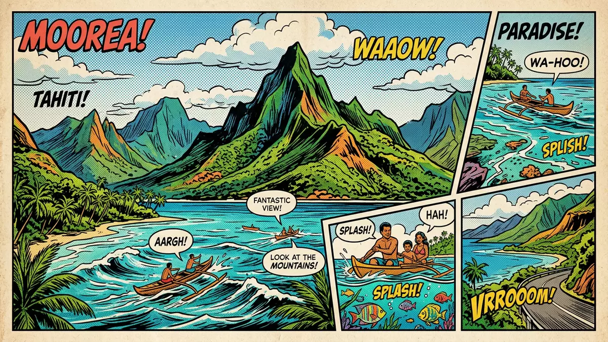
Moorea’s volcanic ridges and lagoon edge
Published on 08/09/2026 at 15:11 | Editorial responsibility: Rafael Müller, Editor-in-Chief AD HOC NEWS
Moorea, part of French Polynesia, rises from the South Pacific as a volcanic island with a jagged interior and a broad lagoon at the edge. It sits near Tahiti, and Mount Tohivea forms its highest point, a constant marker in the island’s profile.
Moorea’s ridges, bays and lagoon
The island’s outline is easy to read from the water: steep green slopes, deep bays and a ring of reef-fringed shallows. Opunohu Bay and Cook’s Bay cut far into the north coast, while the central mountains give the island a compact, folded appearance.
That contrast between a rugged interior and sheltered coastal water shapes the visitor’s first impression. The island feels small enough to cross in sections, yet its landforms create clear zones of forested height, coastal settlement and lagoon shore.
Mount Tohivea and the volcanic interior
Mount Tohivea dominates the centre of Moorea and reaches 1,207 m (3,960 ft). The summit ridge and surrounding peaks give the island its most recognisable silhouette, especially when seen across the passes and inlets.
The inland landscape is volcanic, with sharp slopes, deep valleys and a terrain that changes quickly over short distances. Hikes and viewpoints here are shaped by that relief, with the island’s height always close to the coast in visual terms.
Settlement, bays and island life
Most everyday life sits around the coastal road, the lagoon and the bay communities rather than on the steep central slopes. Agricultural plots, small resorts and residential areas occupy flatter ground, while the mountains remain the island’s strongest visual presence.
Moorea also carries a strong place in Pacific travel history through the wider French Polynesian setting associated with Tahiti and the Society Islands. Its combination of reef, bays and volcanic peaks makes it more than a simple beach destination.
Visiting Moorea: what travellers from Western Europe should know
- The island is reached from Tahiti by ferry and by air.
- Admission arrangements and opening hours are set by the site's operator and change with the season; the official website is the only binding source.
- The drier months are often preferred for clearer views, while the lagoon and inland paths are best explored in good daylight.
- Steeper roads and uneven ground appear away from the coast, and some viewpoints require a walk uphill.
- French is widely used, and local transactions are usually handled in CFP francs.
- Entry requirements depend on your nationality. UK travellers should check the FCDO travel advice at gov.uk/foreign-travel-advice; Irish travellers the Department of Foreign Affairs at ireland.ie; EU and EEA citizens their own national foreign ministry.
Searching for Moorea on social platforms
These links open searches for Moorea on each platform.
Frequently asked questions about Moorea
Where is Moorea?
It is an island in French Polynesia, close to Tahiti in the Society Islands. Its lagoon, bays and volcanic interior define most of its geography.
What should visitors expect?
Expect a compact island with mountain roads, coastal settlements and reef-fringed water. A visit usually combines shoreline scenery with inland viewpoints.
What makes Moorea distinctive?
The island’s steep central ridges and broad bays create a strong visual contrast. Mount Tohivea gives the island a recognisable high point above the lagoon edge.