
Ngorongoro Crater, a vast volcanic amphitheatre of wildlife
Published on 09/17/2026 at 14:33 | Editorial responsibility: Rafael Müller, Editor-in-Chief AD HOC NEWS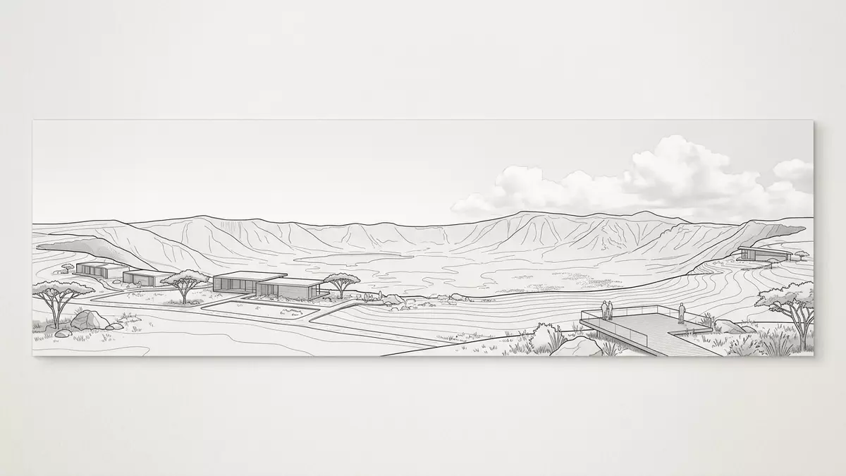
Ngorongoro Crater in northern Tanzania is a vast volcanic amphitheatre where steep crater walls surround an enclosed grassland basin rich in wildlife and water. Formed as an extinct volcanic caldera in the Eastern Rift Valley during the Pliocene, it sits within the Ngorongoro Conservation Area, a landscape recognised as a UNESCO World Heritage site since 1979.UNESCO World Heritage site
A colossal caldera shaped by ancient volcanism
Ngorongoro Crater is the most striking feature of the Ngorongoro Volcanic Highlands, part of the great East African Rift system where volcanism and faulting have sculpted the terrain over millions of years.Ngorongoro Volcanic Highlands The crater formed when a large shield volcano erupted and its cone collapsed inward, leaving an unflooded, unbroken caldera with a diameter of roughly 16 to 19 km and a floor covering about 260 km².diameter and area Its floor lies several hundred metres below the rim, creating a natural enclosure that visitors experience as a kind of enclosed basin ringed by cliffs.
The rim of Ngorongoro Crater rises to elevations of around 2,280–2,300 m (about 7,500 ft) above sea level, while the floor lies lower, giving a relief of roughly 400–610 m between rim and basin.rim elevation and depth This topography creates a distinct highland setting on the rim and a broad plain on the floor, both enclosed within the caldera walls. Within the wider Ngorongoro Volcanic Highlands, other volcanic features such as the Olmoti and Empakaai craters stand nearby, their forms recording a long history of rift-related volcanism extending back to the late Mesozoic and early Tertiary periods.rift-related volcanism
Grasslands, lakes and forest in an enclosed basin
Standing on the rim, travellers look down into a basin carpeted by open grassland, scattered swamps and patches of forest, with a shallow alkaline lake at its centre. The caldera floor is predominantly short grass plains where grazing animals move between permanent wetlands and seasonal watercourses.open grassland basin Lake Magadi, a shallow soda lake on the floor, provides habitat for flocks of flamingos that feed along its margins, while freshwater springs and swamps form green pockets contrasting with the drier plains.Lake Magadi and swamps
The crater rim carries montane forest and heathland, forming a cool, wooded band between the higher volcanic plateau and the open basin below.montane forests and moorlands Within the broader conservation area, this enclosed landscape sits among overlapping ecosystems that range from grass plains to savanna woodlands and high open moorland, all part of the Serengeti ecosystem. The enclosed nature of the caldera means that a wide variety of habitats—short grass, swamps, forested slopes and alkaline lake margins—are visible at once from many viewpoints on the rim.
A sanctuary for large mammals within the Serengeti ecosystem
Ngorongoro Crater is celebrated for its dense concentrations of large mammals, which live within the basin while remaining connected to the wider Serengeti ecosystem. The floor supports populations of elephants, black rhinoceroses, buffalo, zebras, wildebeest, warthogs and gazelles, with predators such as lions and leopards also present.assemblage of large mammals The presence of globally threatened species, including black rhino, contributes to the site’s recognised importance for biodiversity conservation.globally threatened species
The crater forms part of a protected area managed by the Ngorongoro Conservation Area Authority, which oversees both natural habitats and cultural sites such as nearby Olduvai Gorge.Ngorongoro Conservation Area Authority Within this framework, wildlife moves between the crater and surrounding highlands and plains, where large-scale migrations of wildebeest, zebras and gazelles cross the northern Serengeti. From the rim roads and designated viewpoints, visitors can observe herds, wetlands and forests arrayed across the basin in a single sweeping view.
Visiting Ngorongoro Crater: what travellers from Western Europe should know
- Ngorongoro Crater lies within the Ngorongoro Conservation Area in northern Tanzania, west of Arusha, and is approached by road from towns serving safaris in the Serengeti region.
- The rim road climbs to high elevations with viewpoints looking down into the enclosed basin; access tracks descend steep slopes to the crater floor where drives follow established routes across the plains.
- The official language is Swahili and the currency is the Tanzanian shilling.
- Entry requirements depend on your nationality; UK travellers can check the FCDO travel advice at gov.uk/foreign-travel-advice, Irish travellers the Department of Foreign Affairs at ireland.ie.
Searching for Ngorongoro Crater on social platforms
These links open searches for Ngorongoro Crater on each platform.
Frequently asked questions about Ngorongoro Crater
Where is Ngorongoro Crater?
Ngorongoro Crater lies in northern Tanzania within the Ngorongoro Conservation Area, west of Arusha and adjacent to the wider Serengeti ecosystem.
What can travellers expect on a visit?
Travellers encounter a high rim road with viewpoints over an enclosed basin, then game drives across grasslands, wetlands and an alkaline lake, surrounded by steep crater walls.
What makes Ngorongoro Crater distinctive among African landscapes?
Its combination of an unbroken volcanic caldera, a dense assemblage of large mammals and clearly defined habitats within a single enclosed basin gives Ngorongoro Crater a distinctive character.


