
Nitmiluk National Park and its sandstone gorge country
Published on 09/23/2026 at 02:06 | Editorial responsibility: Rafael Müller, Editor-in-Chief AD HOC NEWS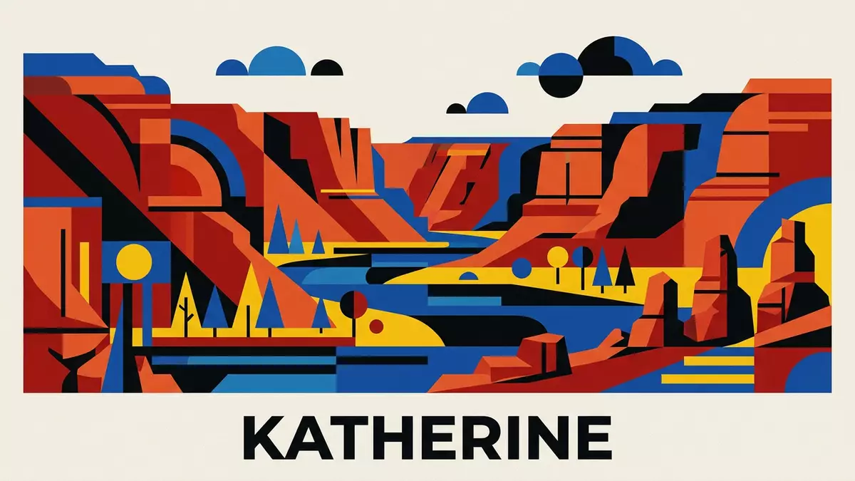
Nitmiluk National Park follows the Katherine River through a landscape of layered sandstone, deep gorges and broad northern Australian valleys. Near Katherine in the Northern Territory, the park combines a powerful geological form with Jawoyn cultural country.
The central landscape is Nitmiluk Gorge, a long river corridor enclosed by sandstone cliffs. Water, rock and cultural history remain visible together along the gorge system.
Nitmiluk National Park: sandstone walls along the Katherine River
Nitmiluk Gorge is a system of thirteen gorges extending for about 13 kilometres. The Katherine River runs between cliffs reaching up to 100 metres, with rock bars, pools and changing sections of river separating the gorge spaces.
The cliffs belong to the Kombolgie Formation, part of the southern Arnhem Plateau. The sandstone was laid down approximately 1,650 million years ago, when layers of sediment accumulated and hardened into rock.
Horizontal bands remain visible across the escarpment. Rain, wind, springs and the river have weathered the sandstone, while fractures in the rock form lines followed by water through the gorge country.
The park extends beyond the river corridor. Its landscape includes dissected sandstone country, rocky ridges, broad valleys, rainforest gullies and watercourses associated with the Katherine, Ferguson, Edith and King rivers.
Jawoyn Country, rock art and a park with two names
Nitmiluk is the Jawoyn name for Katherine Gorge. It refers to “Cicada Place”, connecting the name of the gorge with Jawoyn Creation Time and the living cultural landscape around the river.
The Jawoyn people are the Traditional Owners of Nitmiluk National Park. Rock art sites occur on sandstone walls throughout the park, alongside places with continuing cultural significance.
The protected area was established on 19 October 1977 as Katherine Gorge National Park. A Jawoyn land claim began in 1978, and ownership was handed back to the Jawoyn Aboriginal Land Trust on 10 September 1989.
The park is jointly managed by the Jawoyn people and the Northern Territory Government. This arrangement links conservation, cultural protection and visitor facilities within the same protected landscape.
The name Nitmiluk therefore identifies more than a gorge. It names Jawoyn Country, the river, the sandstone escarpment and the cultural places connected with them.
From Katherine Gorge to Leliyn and the northern escarpment
Nitmiluk National Park has two principal areas: Nitmiluk Gorge south of Katherine and Leliyn, also known as Edith Falls, farther north.
At Leliyn, the Edith River descends from the escarpment into pools and a plunge pool before continuing through the Edith River valley. The sandstone at Leliyn belongs to the same ancient Kombolgie Formation visible around Katherine Gorge.
The northern area adds flowing water and swimming holes to the park’s sandstone scenery. The gorge area presents narrow river corridors, towering walls and rock art sites.
Walking routes cross rocky country and follow the escarpment, while water-based journeys travel along sections of the Katherine River. The terrain includes exposed rock, steep escarpment edges and uneven ground.
Wildlife occupies several habitats, including river margins, woodland, gullies and sandstone country. The park’s plants and animals form part of the broader Top End environment around Katherine.
Its lasting image comes from the meeting of river and rock. The Katherine River cuts through ancient sandstone, while Jawoyn cultural knowledge gives the gorge country its name and continuing meaning.
Visiting Nitmiluk National Park: what travellers from Western Europe should know
- Nitmiluk Gorge lies north-east of Katherine and is reached by road from the town. Leliyn lies farther north and is approached from the Stuart Highway via Edith Falls Road.
- The gorge country includes steep sandstone cliffs, rocky surfaces and uneven walking routes. River journeys and walking routes present different ways to experience the gorge landscape.
- Leliyn includes a plunge pool, upper pools and the Edith River. The site is part of Nitmiluk National Park and remains culturally important to the Jawoyn people.
- The official language is English and the currency is the Australian dollar.
- Entry requirements depend on your nationality; UK travellers can check the FCDO travel advice at gov.uk/foreign-travel-advice, Irish travellers the Department of Foreign Affairs at ireland.ie.
Searching for Nitmiluk National Park on social platforms
These links open searches for Nitmiluk National Park on each platform.
Frequently asked questions about Nitmiluk National Park
Where is Nitmiluk National Park?
Nitmiluk National Park is in Australia’s Northern Territory, around Katherine. Its main areas are Nitmiluk Gorge and Leliyn, also known as Edith Falls.
What can visitors expect to see?
The park contains sandstone cliffs, river corridors, rock art sites, waterfalls, pools, woodland and walking routes across uneven terrain.
What makes Nitmiluk distinctive?
The Katherine River passes through a thirteen-gorge sandstone system on Jawoyn Country. Geological history and living Indigenous culture are present in the same landscape.


