Nyerere National Park and the Rufiji floodplain
Published on 08/09/2026 at 15:18 | Editorial responsibility: Rafael Müller, Editor-in-Chief AD HOC NEWS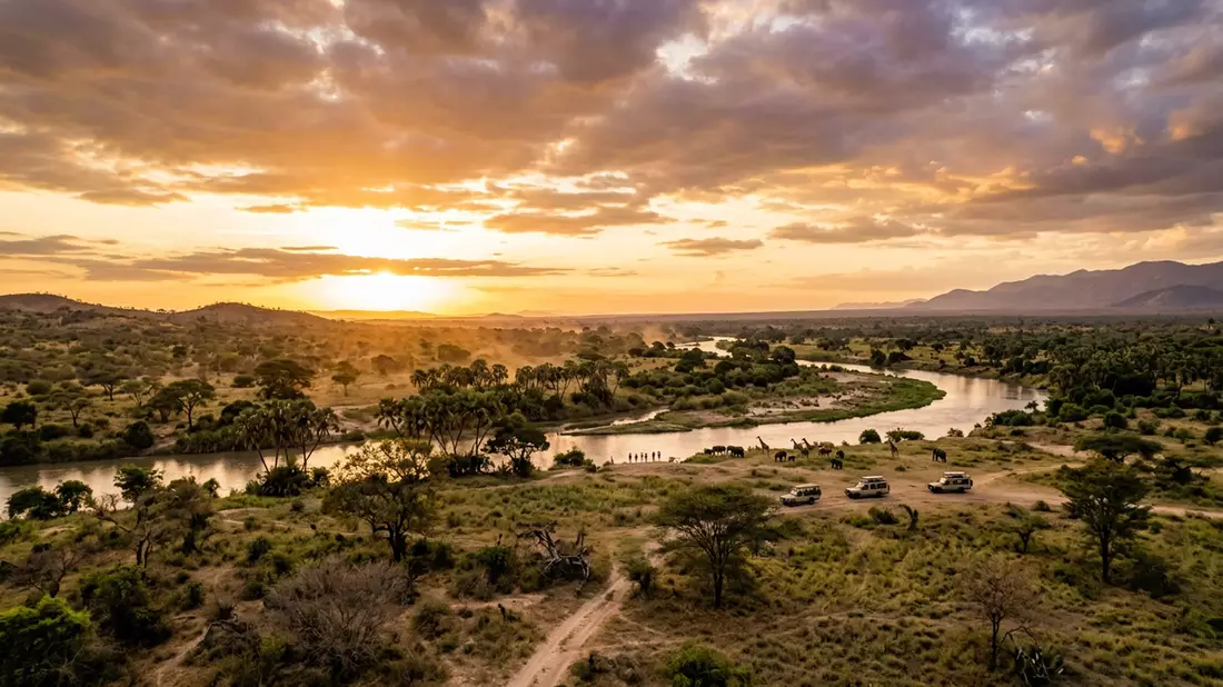
Nyerere National Park in Morogoro is a vast southern Tanzanian landscape shaped by the Rufiji River, floodplains and miombo woodland. It carries the name of Julius Nyerere, Tanzania’s first president, and includes one of East Africa’s great river systems.
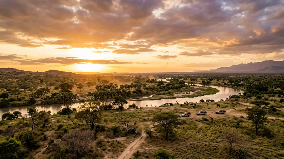
The Rufiji river landscape in southern Tanzania
The Rufiji River runs through the park in broad curves, with channels, backwaters and marshy ground alongside drier woodland. The land is open in some places and thick with trees in others, so the park reads as a sequence of water, grass and forest rather than a single uniform plain.
That mix gives Nyerere National Park a strong visual identity. Boats, riverbanks and open grazing areas belong to the same protected landscape, and the park’s scale is part of its character.
A park linked to a national name
The park carries the name of Julius Nyerere, who led Tanzania through independence and became the country’s central political figure after 1961. The name places the park within the modern history of Tanzania as well as its natural geography.
Its setting in Morogoro also matters. The region acts as a gateway to a part of the country where riverine habitat, dry bush and wildlife corridors meet across a large protected area.
Wildlife across water and woodland
Nyerere National Park is best understood through its habitats as much as through its animals. The open water and floodplain support a different scene from the wooded sections, where the light falls across trees, thickets and sandy tracks.
Visitors often think of southern Tanzania as a place of broad space rather than dense infrastructure, and the park reflects that impression. The landscape remains the main attraction, with wildlife moving through it rather than dominating every view.
Visiting Nyerere National Park: what travellers from Western Europe should know
- The park lies in southern Tanzania, in Morogoro, and is reached by road or by light aircraft to airstrips serving the area.
- Admission arrangements and opening hours are set by the site's operator and change with the season; the official website is the only binding source.
- The dry season offers easier access to roads and river edges, while the wet season brings fuller watercourses and greener ground.
- The park covers a large natural area with rough tracks, river crossings and long distances between features, so day visits can feel wide-ranging.
- Swahili is useful for simple greetings, and payment may be handled in Tanzanian shillings or by card in some places.
- Entry requirements depend on your nationality. UK travellers should check the FCDO travel advice at gov.uk/foreign-travel-advice; Irish travellers the Department of Foreign Affairs at ireland.ie; EU and EEA citizens their own national foreign ministry.
Searching for Nyerere National Park on social platforms
These links open searches for Nyerere National Park on each platform.
Frequently asked questions about Nyerere National Park
Where is Nyerere National Park?
It lies in Morogoro in southern Tanzania, along the Rufiji River system and its surrounding floodplain and woodland.
What should a visit feel like?
Expect a large protected landscape with river, grassland and trees, crossed by rough tracks and shaped by water.
What makes it distinctive?
The combination of the Rufiji River, broad wetland areas and woodland gives the park a layered landscape linked to Julius Nyerere’s name.