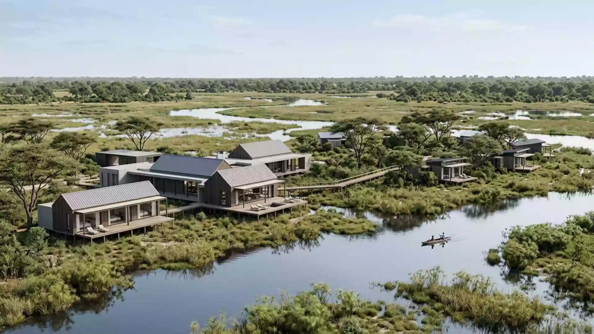
Okavango Delta’s water channels and reed islands
Published on 08/09/2026 at 15:14 | Editorial responsibility: Rafael Müller, Editor-in-Chief AD HOC NEWS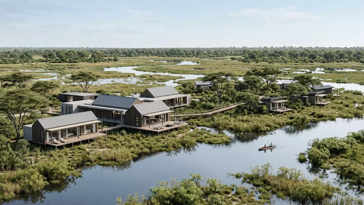
Okavango Delta near Maun is a vast inland wetland in Botswana, shaped by water that spreads through channels, lagoons and reed islands. Its mix of permanent water and dry ground makes the landscape read as a mosaic rather than a single open plain.
Water, islands and floodplains
The delta sits in the Kalahari Basin and receives water from the Okavango River after it enters Botswana from Angola. Instead of reaching the sea, the river dissipates into sand, swamp and seasonal floodplains.
The result is a landscape that changes with the flood pulse. Broad channels, papyrus beds, palm islands and open lagoons sit side by side, and each part has its own plant cover and wildlife use.
A landscape shaped by seasons
The flood arrives from the north and reaches different parts of the delta at different times of year. That rhythm leaves some areas submerged while others remain firm enough for walking, paddling or access by boat and light aircraft.
Visitors often notice the contrast between reed-fringed water and higher islands with trees such as mokolwane palms and large riverine fig trees. The delta also supports elephants, hippos, crocodiles and a wide range of birds, including herons, kingfishers and fish eagles.
Okavango Delta in Botswana’s travel geography
Maun acts as the main gateway for journeys into the delta, and most visits begin there by road, boat or aircraft. The settlement lies on the edge of a wetland that stretches far beyond the built-up area.
The delta has long been part of Botswana’s identity as a place of water in a dry inland region. Its mixture of channels, islands and floodplains makes it one of the country’s most distinctive landscapes.
Visiting Okavango Delta: what travellers from Western Europe should know
- The site is reached from Maun by road, boat and light aircraft.
- Admission arrangements and opening hours are set by the site's operator and change with the season; the official website is the only binding source.
- The best conditions for seeing flooded channels are usually linked to the annual water cycle, while drier ground appears in other months.
- Some areas involve soft sand, uneven ground, shallow water and long stretches without shade.
- English is widely used in tourism, and Botswana pula is the local currency.
- Entry requirements depend on your nationality. UK travellers should check the FCDO travel advice at gov.uk/foreign-travel-advice; Irish travellers the Department of Foreign Affairs at ireland.ie; EU and EEA citizens their own national foreign ministry.
Searching for Okavango Delta on social platforms
These links open searches for Okavango Delta on each platform.
Frequently asked questions about Okavango Delta
Where is Okavango Delta?
It lies in north-western Botswana, close to Maun, where the Okavango River spreads into a broad inland wetland. The delta does not drain to the ocean.
What should visitors expect?
Expect water channels, reed beds, islands and floodplain grassland rather than a single fixed viewpoint. Access varies by route and by season across different parts of the wetland.
What makes it distinctive?
Its inland setting and branching water network set it apart from river deltas that reach the sea. The landscape combines permanent wetlands with dry islands in one shifting system.