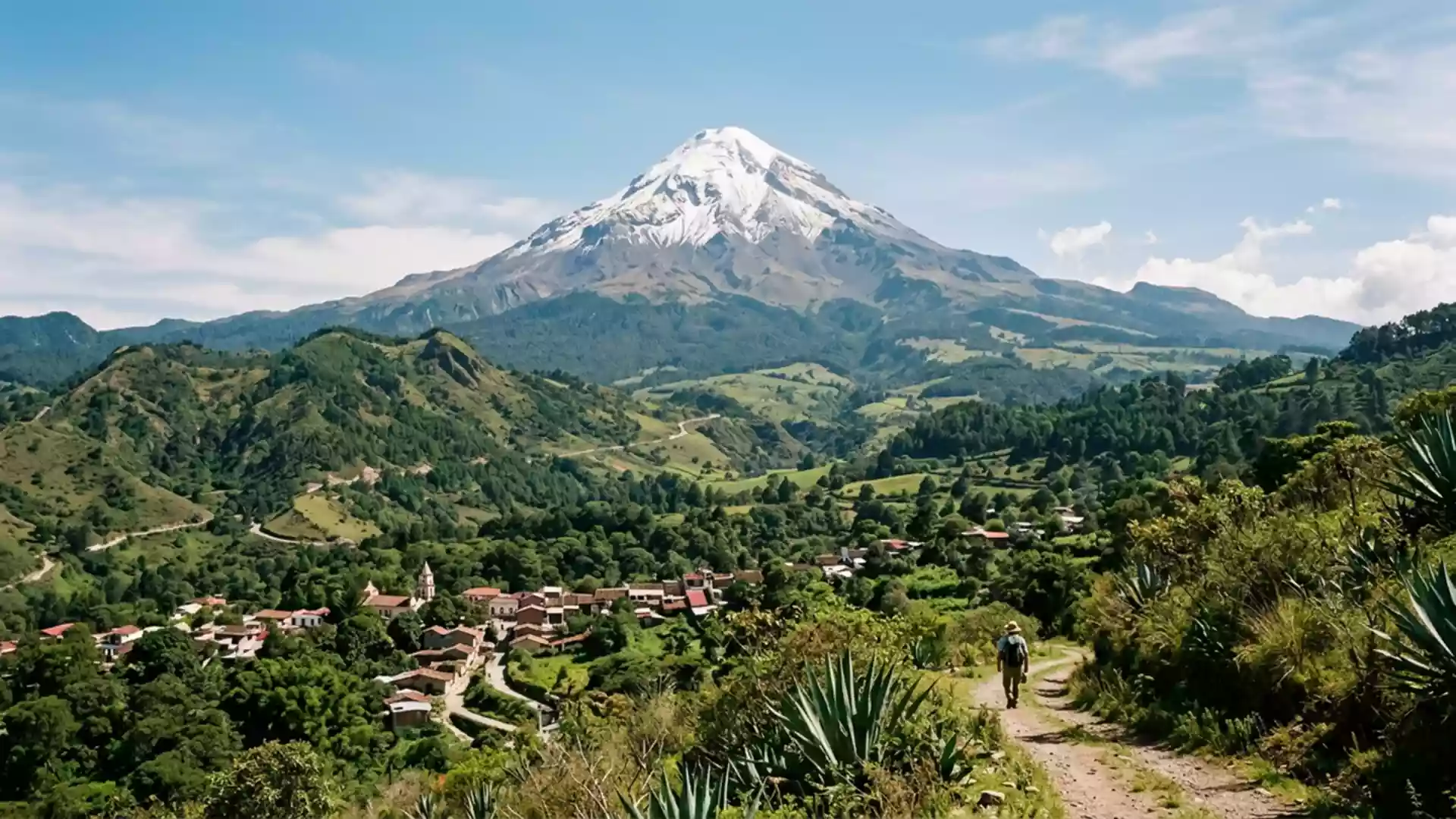
Orizaba Peak access closes on 13 November after landslide
Published on 11/14/2026 at 14:39 | Editorial responsibility: Rafael Müller, Editor-in-Chief AD HOC NEWSClosure and access conditions
- Calcahualco authorities closed the Nuevo Jacal route on 13 November 2026.
- A 10 m-wide sinkhole at the Jamapa River source makes vehicles and pedestrians unsafe.
- Mexico established the national park around the 5,636 m mountain in 1937.
- Orizaba and Calcahualco provide different reference points for the protected area.
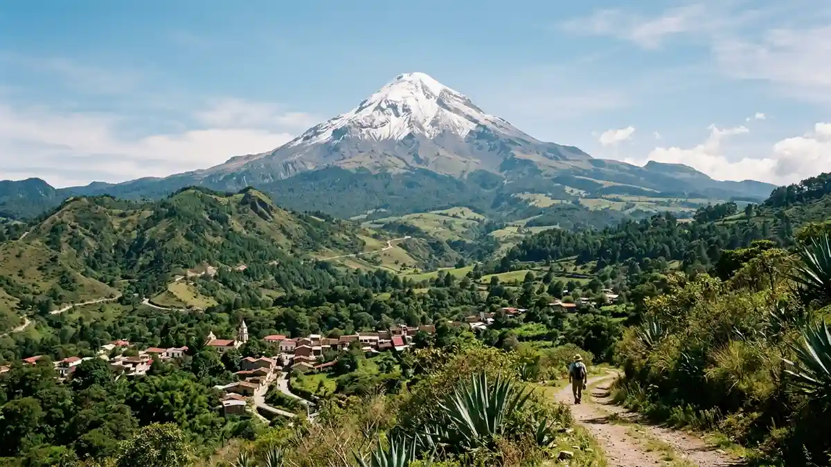
Orizaba Peak (Citlaltépetl) in Mexico is affected by a full access closure announced on 13 November 2026 after heavy rain caused a landslide near the Jamapa River source. The restriction concerns the Nuevo Jacal route in Calcahualco, while Orizaba remains a reference town for the national park.
Orizaba Peak route closes after 13 November landslide
The dirt road linking Nuevo Jacal with the national park was closed completely and until further notice, the municipal government of Calcahualco said. The decision followed a landslide that created a sinkhole about 10 metres wide and 5 metres deep at the point where the Jamapa River begins.
Protection Civil officials said the route also has trenches, further landslides and damaged sections of its surface. The unstable ground carries a risk of additional collapses, so the restriction applies to mountain guides, tourists, visitors, vehicles and motorcycles. A report by the closure notice records the warning from Calcahualco Protection Civil.
A separate regional report published on 13 November states that walking across the damaged road is also unsafe. The municipality has not announced a reopening date and has asked visitors not to approach the sinkhole or use this route for an ascent.
The 5,636 m mountain behind the closure
The protected area takes its name from the volcano and covers high-mountain environments in the states of Puebla and Veracruz. Mexico’s Environment Ministry identifies the summit as the country’s highest mountain, measuring 5,636 metres (18,491 ft) above sea level.
The national park was established on 4 January 1937. Its landscape includes fir forest, pine forest, grassland and high-altitude páramo, while the summit gives rise to several rivers, including the Jamapa and Orizaba. The ministry’s protected-area account links the mountain’s elevation and 1937 designation to its environmental role.
That geography gives the current closure a precise effect for travellers. It does not describe every route across the wider protected area, but it prevents access through the Nuevo Jacal road and blocks the approach to the park by that route for both motorised and pedestrian visitors.
Visiting Orizaba Peak: what travellers from Western Europe should know
- The Nuevo Jacal road closure took effect on 13 November 2026 and concerns the route from Nuevo Jacal to the national park in Calcahualco.
- Visitors, mountain guides, vehicles and motorcycles must not use the route; walking across the damaged sections is also unsafe until a new official notice.
- Orizaba Peak lies in a protected mountain area spanning Puebla and Veracruz, with Orizaba serving as a regional reference town and Calcahualco identifying the affected access side.
- The terrain includes steep high-mountain ground, unstable road sections, trenches and a sinkhole measuring about 10 metres wide and 5 metres deep.
- The official language is Spanish and the national currency is the Mexican peso.
- Entry requirements depend on your nationality; UK travellers can check the FCDO travel advice at gov.uk/foreign-travel-advice, Irish travellers the Department of Foreign Affairs at ireland.ie.
Searching for Orizaba Peak on social platforms
These links open searches for Orizaba Peak on each platform.
Frequently asked questions about Orizaba Peak
What changed at Orizaba Peak on 13 November 2026?
The Nuevo Jacal access road to the national park was closed completely after rain-related damage, including a landslide and sinkhole.
Where is Orizaba Peak and how do you get there?
The protected mountain area spans Puebla and Veracruz. The affected route begins at Nuevo Jacal in Calcahualco, and it is closed to vehicles and pedestrians until further notice.
What is Orizaba Peak?
It is Mexico’s highest mountain and a 5,636 m volcano within a national park established on 4 January 1937.