Pacific Rim National Park Reserve and its long shore
Published on 08/11/2026 at 15:18 | Editorial responsibility: Rafael Müller, Editor-in-Chief AD HOC NEWS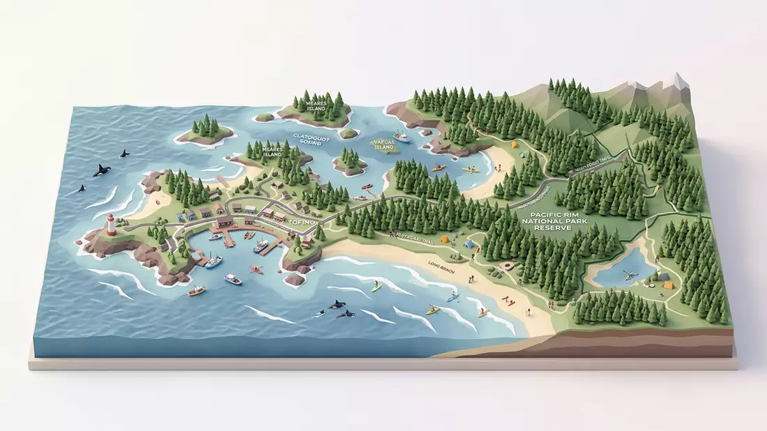
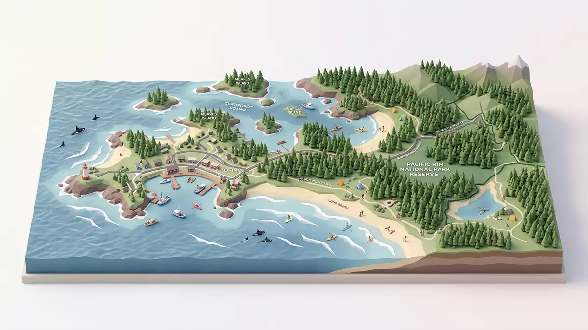
Pacific Rim National Park Reserve lies on the west coast of Vancouver Island near Tofino, where cedar forest, sandy beaches and surf meet in one protected strip of coast. Created in 1970, it is one of Canada’s Pacific edge landscapes where the land stays low, wet and open to the ocean.
Long beaches between forest and surf
The park reserve is best known for its long coastal reaches, especially Long Beach, Wickaninnish Beach and the Broken Group Islands offshore. The shoreline shifts between wide sand, driftwood, tide pools and rocky points, while rainforest presses close behind.
That mix gives the place a direct visual rhythm: water, sand, timber and dark green forest in quick succession. The coast feels less like a single viewpoint than a series of linked spaces, each with its own light, texture and edge.
Temperate rainforest on the edge of the Pacific
Much of the inland side belongs to the temperate rainforest of Vancouver Island, with western red cedar, hemlock and dense understorey plants. Rain and salt shape the vegetation, and fallen trunks lie across the ground as part of the forest floor.
The reserve also protects the Pacific Rim National Park Reserve’s coastal ecology, from estuaries and intertidal rock to offshore islands. Its scenery is not monumental in height, but in breadth, with long horizontal views and a constant sense of open space.
A protected coast in Clayoquot Sound
The reserve forms part of the wider Clayoquot Sound area and includes three distinct sections: Long Beach, the Broken Group Islands and the West Coast Trail. Those names point to the range of terrain here, from broad strand to island labyrinth and rugged hiking coast.
Its official designation reflects that variety. The landscape brings together beach, rainforest and ocean in a single protected corridor, and the result is a place defined by movement between zones rather than by one single landmark.
Visiting Pacific Rim National Park Reserve: what travellers from Western Europe should know
- The reserve is reached from Tofino by road, and its different sections are spread along the coast and offshore islands.
- Admission arrangements and opening hours are set by the site's operator and change with the season; the official website is the only binding source.
- Late spring through early autumn brings the most settled conditions for beaches and trails, while winter emphasises surf, rain and stormy light.
- Parts of the reserve involve sand, mud, boardwalks, uneven ground and long walks on foot, especially on coastal routes.
- Services in nearby Tofino are straightforward for visitors, with English used widely and payment by card common in most places.
- Entry requirements depend on your nationality. UK travellers should check the FCDO travel advice at gov.uk/foreign-travel-advice; Irish travellers the Department of Foreign Affairs at ireland.ie; EU and EEA citizens their own national foreign ministry.
Searching for Pacific Rim National Park Reserve on social platforms
These links open searches for Pacific Rim National Park Reserve on each platform.
Frequently asked questions about Pacific Rim National Park Reserve
Where is Pacific Rim National Park Reserve?
It lies on the west coast of Vancouver Island near Tofino in British Columbia, facing the Pacific Ocean. The reserve covers beaches, rainforest and offshore islands.
What should visitors expect?
Expect a coastal landscape with sand, surf, boardwalks and forest trails. Some sections are easy to reach, while others involve longer walks and rough ground.
What makes it distinctive?
Its strongest feature is the meeting of rainforest and open ocean in a single protected coastal setting. Long Beach, the Broken Group Islands and the West Coast Trail show that range clearly.