
Pao de Acucar where granite rises from Guanabara Bay
Published on 09/24/2026 at 12:45 | Editorial responsibility: Rafael Müller, Editor-in-Chief AD HOC NEWS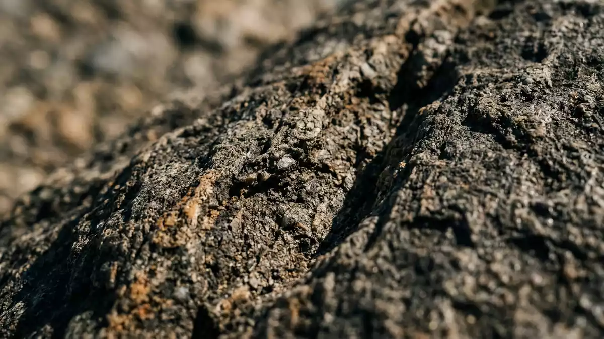
Pao de Acucar rises directly from the entrance to Guanabara Bay, its 396 m (1,299 ft) rock summit forming a distinct part of Rio de Janeiro’s coastal landscape. The mountain’s near-conical profile, exposed gneiss and cable-car route create a meeting point between geology, transport and the city’s historic scenery.
Pao de Acucar and the rock beneath Rio
Pao de Acucar is a gneiss monolith at the mouth of Guanabara Bay. Its rock is known as facoidal gneiss, an augen gneiss containing conspicuous feldspar crystals within a deformed geological fabric. The material belongs to the Ediacaran geological period, with its formation linked to events about 560 million years ago. facoidal gneiss geology gives the mountain its geological identity.
Steep rock faces surround the summit, while vegetation occupies sections of the lower slopes. Folds can be seen across several exposed faces, and fractures in the rock are part of the mountain’s recorded geological character. The wider group includes Urca, Cara de Cão and Babilônia hills, creating a sequence of rocky forms around the bay.
A cable-car route with a recorded history
The cable-car system connects Praia Vermelha with Morro da Urca and Pao de Acucar. Brazilian engineer Augusto Ferreira Ramos conceived the project, whose first section opened on 27 October 1912. The route from Praia Vermelha to Morro da Urca measured 528 m (1,732 ft).
The second section, from Morro da Urca to Pao de Acucar, opened in 1913 and measured 735 m (2,411 ft). The two-stage journey remains part of the mountain’s physical character, linking a beach-level district with elevated rock platforms. the cable-car history records the route’s early engineering milestones and its connection with Rio’s cultural landscape.
Morro da Urca contains terraces, paths and viewpoints beneath the higher summit. Pao de Acucar then rises as a separate, more pronounced rock mass, with the bay, shoreline and surrounding hills visible from the elevated complex.
From natural monument to cultural landscape
Pao de Acucar appears in European maps from the sixteenth century and became a recurring subject in representations of Rio de Janeiro. Charles Darwin noted the mountain during the voyage of the Beagle on 8 July 1832. Its name refers to the traditional form of concentrated sugar, associated with Portuguese colonial trade.
On 8 August 1973, the Sugarloaf complex received heritage protection from IPHAN. In 2012, Rio de Janeiro’s Carioca Landscapes between the Mountain and the Sea entered the UNESCO World Heritage List as a Cultural Landscape. The designated landscape includes Guanabara Bay, Pao de Acucar, Corcovado, Tijuca National Park, Botafogo Bay, Copacabana Beach and the Botanical Garden. the UNESCO cultural landscape places the mountain within a wider relationship between forest, coast and urban form.
The result is a landmark read through both its rock and its setting. Granite-coloured surfaces, green slopes, blue water and dense urban districts occupy the same broad view, while the cable cars add a visible line of movement between the city and the summit.
Visiting Pao de Acucar: what travellers from Western Europe should know
- Pao de Acucar stands in Urca, at the entrance to Guanabara Bay. The cable-car route begins at Praia Vermelha and continues through Morro da Urca.
- The summit reaches 396 m (1,299 ft) above sea level. Exposed rock faces and elevated paths define the terrain around the cable-car stations.
- The complex includes Pao de Acucar, Morro da Urca, Cara de Cão and Babilônia hills. Rio de Janeiro’s official language is Portuguese and its currency is the Brazilian real.
- Entry requirements depend on your nationality; UK travellers can check the FCDO travel advice at gov.uk/foreign-travel-advice, Irish travellers the Department of Foreign Affairs at ireland.ie.
Searching for Pao de Acucar on social platforms
These links open searches for Pao de Acucar on each platform.
Frequently asked questions about Pao de Acucar
Where is Pao de Acucar?
Pao de Acucar is in Urca, Rio de Janeiro, beside the entrance to Guanabara Bay. It forms part of the coastal landscape between the bay, nearby hills and the Atlantic Ocean.
What does a visit involve?
The cable-car route links Praia Vermelha, Morro da Urca and Pao de Acucar. The elevated complex contains paths, terraces, exposed rock and views across Rio de Janeiro.
What makes Pao de Acucar distinctive?
Its 396 m (1,299 ft) gneiss summit rises directly from Guanabara Bay. The mountain also belongs to Rio de Janeiro’s UNESCO Cultural Landscape, inscribed in 2012.


