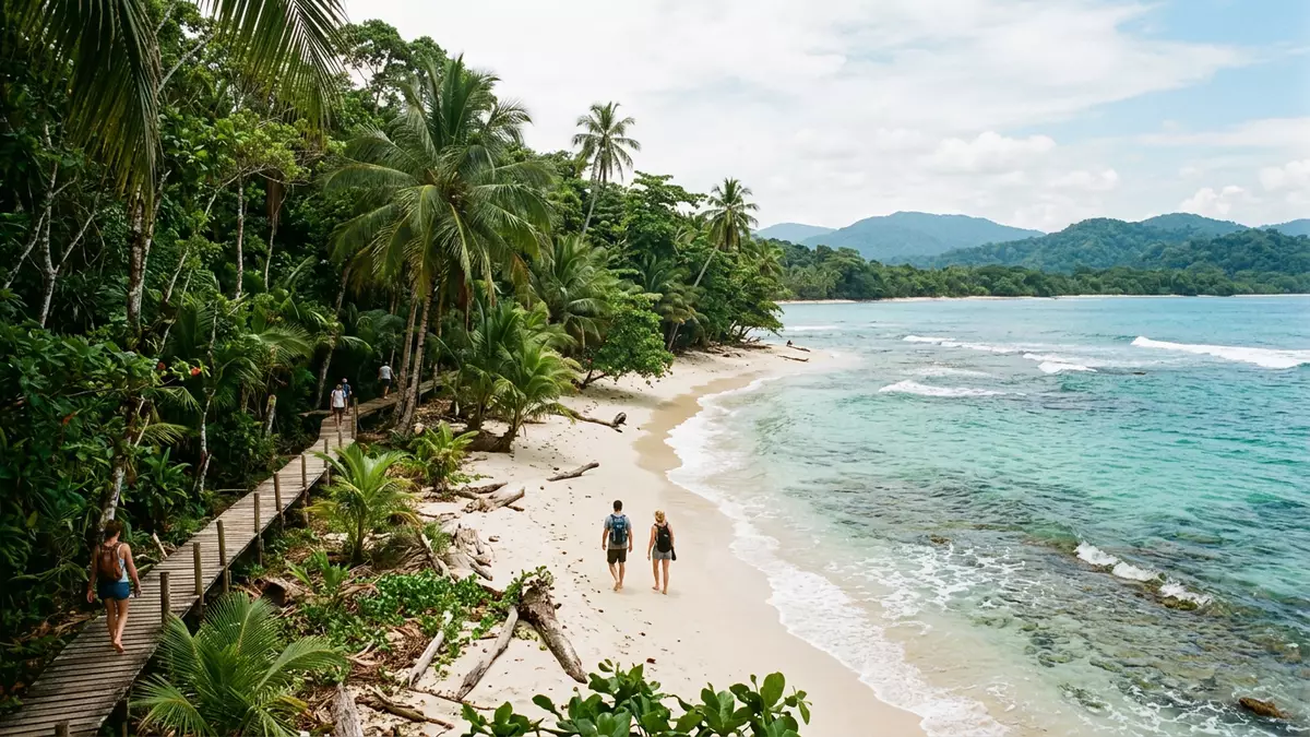
Parque Nacional Cahuita and its coastal reef landscape
Published on 08/10/2026 at 15:18 | Editorial responsibility: Rafael Müller, Editor-in-Chief AD HOC NEWS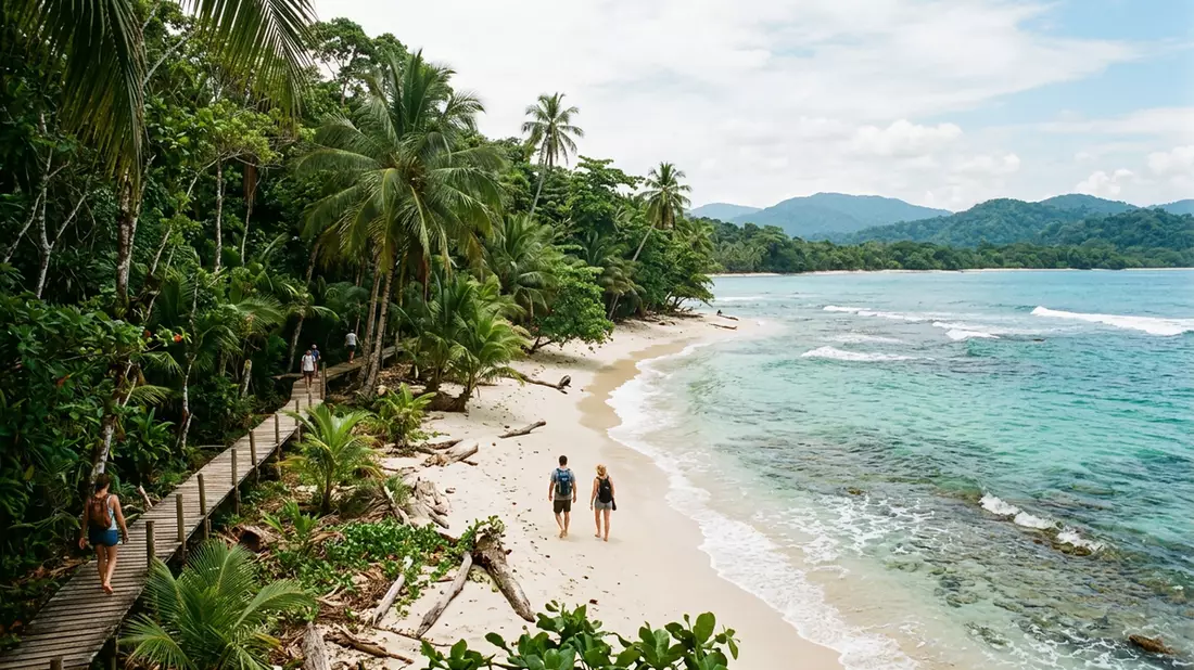
Parque Nacional Cahuita lies on Costa Rica’s Caribbean coast near Cahuita, where a narrow strip of land meets the sea. The park brings beach, forest and reef into the same coastal landscape, with the low-profile shoreline giving it a very different character from inland parks.
Coast, forest and reef in one protected strip
The park is closely associated with the reef offshore and the woodland behind the beach. That combination gives Cahuita a layered look: pale sand at the edge, dense green growth inland and the darker line of the sea beyond.
Coral, mangrove and coastal forest all belong to the wider setting, along with wildlife that uses the shoreline and the trees. The area is part of the Southern Caribbean ecological zone, where humid coastal conditions shape both vegetation and the way the land meets the water.
A park linked to Cahuita’s Afro-Caribbean heritage
Cahuita itself is a small coastal town with strong Afro-Caribbean roots, and that cultural setting is part of the experience around the park. The name Parque Nacional Cahuita connects the protected landscape with the town that gives it identity.
The wider region has long been shaped by Caribbean trade, coastal settlement and fishing communities. In that sense, the park sits within a lived landscape rather than an empty reserve, with the town, coast and protected area forming a single local geography.
Walking the shoreline and reading the landscape
The park’s coastal paths and beach stretches make the terrain easy to read on foot. Reef, root systems, driftwood and forest edge all appear within a short distance of one another, so the place changes character as you move along the coast.
That mix of environments is the main attraction for many visitors. It is a place for looking closely: at the line of the water, the shelter of the trees and the shift from open shore to thicker vegetation.
Visiting Parque Nacional Cahuita: what travellers from Western Europe should know
- Parque Nacional Cahuita is reached from Cahuita on Costa Rica’s Caribbean coast by road, with access from the town into the park area.
- Admission and opening hours are set by the site's operator and change with the season; the official website is the only binding source.
- The dry season brings steadier conditions for coastal walks, while the wetter months give the forest a denser feel.
- The site includes sandy paths, uneven ground and a long shoreline walk, so sturdy footwear is sensible.
- Local currency is the Costa Rican colón, though some places in Cahuita may also handle card payments.
- Entry requirements depend on your nationality. UK travellers should check the FCDO travel advice at gov.uk/foreign-travel-advice; Irish travellers the Department of Foreign Affairs at ireland.ie; EU and EEA citizens their own national foreign ministry.
Searching for Parque Nacional Cahuita on social platforms
These links open searches for Parque Nacional Cahuita on each platform.
Frequently asked questions about Parque Nacional Cahuita
Where is Parque Nacional Cahuita?
It lies on Costa Rica’s Caribbean coast beside Cahuita, a small town in Limón province. The park follows the shoreline and includes coastal habitats rather than inland mountain terrain.
What can travellers expect on a visit?
Expect beach walking, coastal forest and sea views, with a landscape that changes as you move along the shore. Sturdy footwear and a relaxed pace suit the terrain best.
What makes Parque Nacional Cahuita distinctive?
Its reef-and-shore setting gives it a clear coastal identity, while Cahuita’s local character adds a strong sense of place. The park is defined by the meeting of forest, sand and sea.