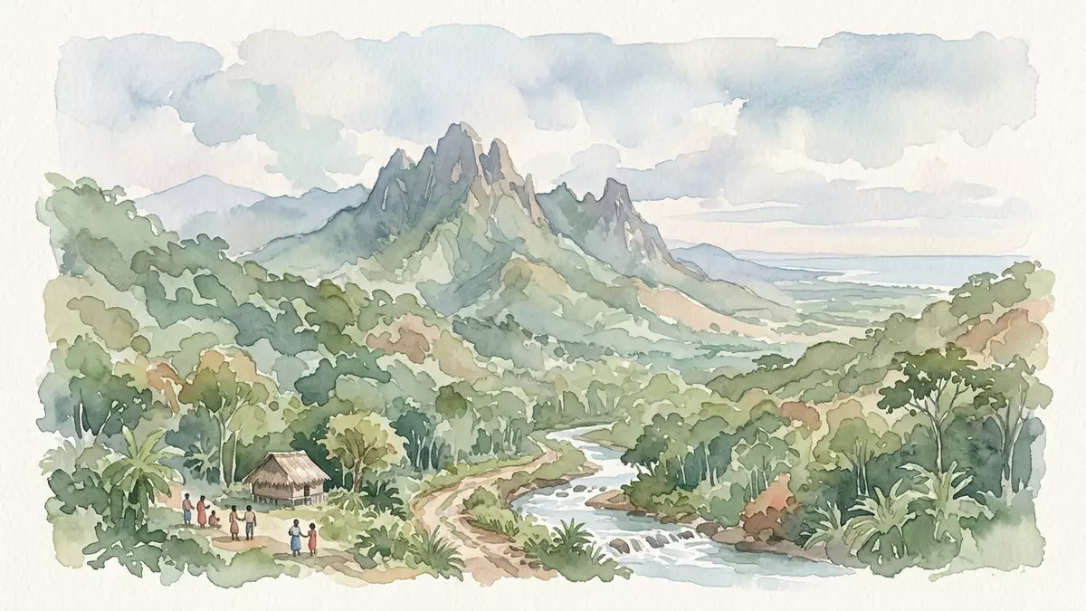
Parque Nacional Pico Bonito and its jagged green ridges
Published on 08/09/2026 at 15:20 | Editorial responsibility: Rafael Müller, Editor-in-Chief AD HOC NEWS
Parque Nacional Pico Bonito rises above La Ceiba with steep forested slopes, river valleys and the broad profile of Pico Bonito itself. It is one of Honduras’ best-known protected landscapes, and the park’s range of elevation gives it a strong vertical character.
Pico Bonito’s forested slopes above La Ceiba
The park sits inland from the Caribbean coast near La Ceiba, where lowland forest gives way to higher, wetter ground. Pico Bonito is the mountain at its centre, and the landscape around it includes dense vegetation, streams and rugged terrain.
The protected area belongs to the north coast of Honduras, a region shaped by rain-fed forest and fast-moving water. For travellers, that means a park read first through terrain: ridgelines, ravines, river corridors and a mountain mass that dominates the view.
A protected landscape in northern Honduras
Parque Nacional Pico Bonito is part of the country’s network of national parks. Its name links the mountain and the protected area, and its identity comes from the combination of forest, slopes and river systems rather than from built monuments.
The park’s plant life ranges across several ecological zones as the land rises. That variation gives the area a layered appearance, with lower forest close to La Ceiba and more elevated ground farther in.
Walking the park’s terrain
Paths through the park follow uneven ground, river crossings and slopes that can be demanding under foot. Visitors come for the landscape itself: a mix of canopy, water and mountain scenery that changes as the elevation changes.
The most immediate impression is spatial rather than architectural. Pico Bonito gives the park a clear centre, while the surrounding forest and waterways spread outward in a broad natural frame.
Visiting Parque Nacional Pico Bonito: what travellers from Western Europe should know
- La Ceiba is the nearest city, and the park is reached from there by road.
- Admission arrangements and opening hours are set by the site's operator and change with the season; the official website is the only binding source.
- The drier months are usually easier for walking, while heavy rain makes tracks and river crossings more demanding.
- Expect uneven paths, slopes, river sections and a long approach on foot in some areas.
- Spanish is the main language in the area, and local payments are often handled in cash.
- Entry requirements depend on your nationality. UK travellers should check the FCDO travel advice at gov.uk/foreign-travel-advice; Irish travellers the Department of Foreign Affairs at ireland.ie; EU and EEA citizens their own national foreign ministry.
Searching for Parque Nacional Pico Bonito on social platforms
These links open searches for Parque Nacional Pico Bonito on each platform.
Frequently asked questions about Parque Nacional Pico Bonito
Where is Parque Nacional Pico Bonito?
It lies near La Ceiba on Honduras’ Caribbean side, with the park’s forested slopes rising inland from the city.
What should a visit feel like?
Expect a landscape of mountain relief, river corridors and uneven walking ground. The experience is shaped by terrain rather than buildings.
What makes it distinctive?
The park is defined by the combination of Pico Bonito, wet forest and changing elevation. That mix gives it a strong natural profile on the north coast of Honduras.