
Parque Nacional Pico Bonito and the steep wall above La Ceiba
Published on 09/02/2026 at 16:39 | Editorial responsibility: Rafael Müller, Editor-in-Chief AD HOC NEWS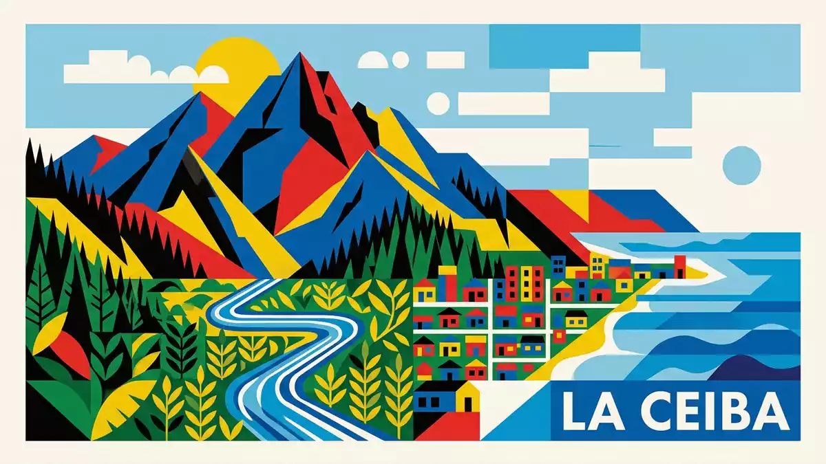
Parque Nacional Pico Bonito forms a dramatic backdrop to La Ceiba, where the Caribbean lowlands end abruptly against a steep mountain wall of rainforest and cloud forest. At the centre of the protected area stands the peak called Pico Bonito, a mountain in the Cordillera Nombre de Dios that dominates views from the coast and anchors one of Honduras’s largest national parks.
Pico Bonito and the Cordillera Nombre de Dios
Parque Nacional Pico Bonito is a national park in northern Honduras, lying inland from the Caribbean coast within the Cordillera Nombre de Dios mountain range. The park takes its name from Pico Bonito, a mountain located in the municipality of El Porvenir, close to La Ceiba on the shore of the Caribbean Sea.Pico Bonito National Park The named peak reaches an elevation of about 2,435 m (7,989 ft), lifting rainforest and cloud forest high above the surrounding coastal plain.Pico Bonito es una montaña
The protected area spreads across the departments of Atlántida and Yoro, covering slopes that descend towards rivers such as the Río Cangrejal and the Río Zacate. The limits of the national park take in territories of municipalities including La Ceiba, La Masica, El Porvenir, San Francisco and Olanchito, forming a broad belt of mountain forest behind the coastal settlements.sus límites abarcan el área Within this landscape, steep ridges and deep river valleys create a varied terrain that ranges from near sea level up to well over 2,000 m (6,562 ft).
A protected mountain park above the Caribbean coast
Parque Nacional Pico Bonito was established as a protected area on 1 January 1987, giving legal status to a region of tropical and cloud forest that had long towered over the city of La Ceiba.establecido como un parque natural protegido The park’s surface area is documented at 564.30 km² (217.88 sq mi) for the core zone, with a wider figure of around 1,073 km² including its buffer zone, meaning that protected and adjoining lands extend roughly 30 km by 35 km across the Cordillera Nombre de Dios.surface area of 1,073 square kilometres
The altitude within Parque Nacional Pico Bonito ranges from about 60 m above sea level in the lower valleys up to more than 2,400 m on the higher ridges and at the summit of Pico Bonito itself.hoogte tussen de 60 en 2.480 meter This vertical span brings together lowland tropical forest, foothill forest and misty cloud forest in one continuous protected block. From La Ceiba, the massif appears as a sharply rising inland wall, its slopes carrying dense forest that separates the coastal strip from the interior.
Rivers, forests and trails into the mountain wall
Parque Nacional Pico Bonito is traversed by rivers that carve their way down from the high ridges towards the Caribbean, creating corridors that give access into the interior. On the eastern side, the Río Cangrejal forms a boundary of the park near La Ceiba, its valley serving as an approach route into the protected area.la cuenca del Rio Cangrejal Elsewhere, the Río Zacate and smaller streams descend through forested ravines, with paths and tracks following their courses towards viewpoints and waterfalls.
The park’s recorded extent of more than 106,000 hectares of tropical and cloud forest gives a sense of the scale of the landscape that visitors encounter behind La Ceiba.más de 107,000 hectáreas de bosque tropical Within this area, marked trails such as those in the Río Zacate sector and along the Río Cangrejal lead through dense vegetation, across stone riverbeds and up to natural viewpoints where the main peak and neighbouring ridges come into view. Away from these access routes, much of the forest on the steep slopes remains difficult to reach, preserving extensive stretches of habitat for wildlife.
Visiting Parque Nacional Pico Bonito: what travellers from Western Europe should know
- Parque Nacional Pico Bonito lies inland from the Caribbean coast of northern Honduras, with La Ceiba as the nearest major city and starting point for road access towards the park.
- The terrain inside the park is steep and rugged, with approaches that may include river crossings, uneven forest paths and sections of trail that climb for extended stretches.
- The Río Cangrejal valley provides one of the main access routes from La Ceiba, with roads and tracks following the river towards visitor facilities and trailheads close to the park boundary.
- Parque Nacional Pico Bonito is in Honduras, where the official language is Spanish and the currency is the lempira.
- Entry requirements depend on your nationality; UK travellers can check the FCDO travel advice at gov.uk/foreign-travel-advice, Irish travellers the Department of Foreign Affairs at ireland.ie.
Searching for Parque Nacional Pico Bonito on social platforms
These links open searches for Parque Nacional Pico Bonito on each platform.
Frequently asked questions about Parque Nacional Pico Bonito
Where is Parque Nacional Pico Bonito located in Honduras?
Parque Nacional Pico Bonito lies in northern Honduras, inland from the Caribbean coast near La Ceiba, within the Cordillera Nombre de Dios mountain range.
What should visitors expect on a visit to Parque Nacional Pico Bonito?
Visitors encounter steep mountain terrain, dense tropical and cloud forest, and river valleys such as the Río Cangrejal and Río Zacate that provide access into the protected area.
What makes Parque Nacional Pico Bonito distinctive among Honduran national parks?
The park is notable for its high elevation range from lowland forest to the 2,435 m summit of Pico Bonito and for its extensive mountain wall rising directly behind La Ceiba.


