

Railay Beach and its limestone cliffs of Krabi
Published on 08/25/2026 at 12:55 | Editorial responsibility: Rafael Müller, Editor-in-Chief AD HOC NEWS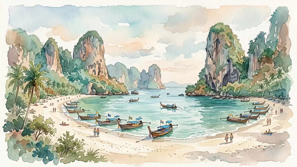
Railay Beach is a small peninsula on the Andaman coast of Thailand, cut off from the mainland by high limestone cliffs and reached across the water from Krabi and Ao Nang. Wrapped in jungle and karst towers, its short arc of sand and sheltered bays feel like a separate world within southern Thailand.
Limestone walls and a peninsula of four shores
Railay sits between Krabi Town and Ao Nang in Krabi Province, on a headland known locally as Laem Phra Nang that pushes out into the Andaman Sea. Although Railay is attached to the Thai mainland, steep limestone walls rise behind the beaches and block any road from reaching the peninsula, so access is by boat along the coast rather than by land vehicle.small peninsula between Krabi and Ao Nang The cliffs themselves form part of a wider karst landscape in Krabi, their pale rock streaked with vegetation and punctuated by caves and overhangs.
Visitors encounter Railay as a cluster of beaches wrapped around this compact peninsula, connected on foot by paths under palm trees and through resort grounds. Guides commonly distinguish four main shores: Railay West, Railay East, Phra Nang Beach and Ton Sai, each facing a slightly different stretch of sea and each with its own character.four main beaches around the peninsula Standing on the sand, the limestone cliffs frame the bays at either end, giving Railay West and Phra Nang in particular a dramatic, enclosed feel against the open water.
Railay West, Railay East and the sweep to Phra Nang
Railay West forms a broad sweep of sand where longtail boats typically pull up from Ao Nang. Behind the strand, palm trees and low-rise resorts line the shore, and paths lead inland to other parts of the peninsula.West Railay as a principal beach At low tide the sea withdraws to reveal a wide wet apron, while at high tide the water reaches closer to the trees, but the defining impression remains the same: a bay held between rock headlands, with views out to scattered islands.
On the opposite side of the peninsula, Railay East faces a different environment of mangrove, mud and rock beneath the cliffs. A concrete walkway runs along the water’s edge here, threading past bars, guesthouses and jetties under the overhanging limestone.beaches only accessible by boat From either Railay West or Railay East, a short walk south along the base of the cliffs leads to Phra Nang Beach, a narrower cove of fine sand backed by trees and guarded by offshore rock stacks that has become one of the most photographed stretches of coastline in Krabi.walk south along the base of the cliffs from Railay West
Princess Cave, climbing routes and hidden corners
At the far end of Phra Nang Beach, at the foot of a limestone cliff, sits Princess Cave, known locally as Phra Nang Cave, a shrine dedicated to a sea spirit venerated by fishers and boat crews. Inside the cave, wooden offerings carved in phallic forms are placed as gestures connected with fertility and good fortune, giving this corner of Railay a distinctive cultural dimension alongside the beach life.Princess Cave shrine at Phra Nang The cave’s position directly beside the sand makes it part of an ordinary walk along the shore rather than a separate excursion.
The limestone cliffs that isolate Railay also draw climbers, with bolted routes and overhanging walls above the beaches and inland paths leading towards a viewpoint and a lagoon within the karst. Ton Sai, a bay adjacent to Railay and reachable by boat or on foot at certain tides, has become a particular focus for climbing, with routes ranging across the surrounding rock faces.famous for rock climbing and hidden lagoon Together, the beaches, caves, cliffs and short inland trails make the peninsula feel like a compact mix of coastal scenery and vertical limestone, with cultural sites woven into the rock.
Visiting Railay Beach: what travellers from Western Europe should know
- Railay lies between Krabi Town and Ao Nang on Thailand’s Andaman coast, reached by boat rather than by road, with longtail services running from nearby coastal settlements.
- Paths between Railay West, Railay East and Phra Nang involve walking on sand and paved walkways beneath cliffs, with short sections of uneven, rocky ground and occasional steps.
- Ton Sai, adjacent to Railay, can be reached by boat or on foot via trails and tidal passages, and the inland viewpoint and lagoon require steep, sometimes slippery paths.
- The official language is Thai and the currency is the Thai baht.
- Entry requirements depend on your nationality; UK travellers can check the FCDO travel advice at gov.uk/foreign-travel-advice, Irish travellers the Department of Foreign Affairs at ireland.ie.
Searching for Railay Beach on social platforms
These links open searches for Railay Beach on each platform.Frequently asked questions about Railay Beach
Where is Railay Beach and how is it reached?
Railay Beach lies on a small peninsula between Krabi Town and Ao Nang in southern Thailand, and is reached by boat along the coast rather than by road.
What should visitors expect on a visit to Railay?
Visitors encounter sand beaches, mangrove shores, limestone cliffs, caves and short jungle paths, with different atmospheres on Railay West, Railay East, Phra Nang and nearby Ton Sai.
What makes Railay Beach distinctive among Krabi’s coastal areas?
The combination of boat-only access, enclosing limestone walls, a cave shrine at Phra Nang and established climbing routes gives Railay a compact mix of scenery and culture.


