
Red Rock State Park’s red sandstone canyon near Sedona
Published on 09/07/2026 at 18:57 | Editorial responsibility: Rafael Müller, Editor-in-Chief AD HOC NEWS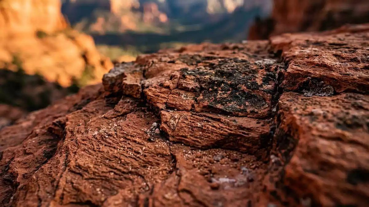
Red Rock State Park near Sedona in Arizona is a compact protected landscape where a red sandstone canyon, desert slopes and the green corridor of Oak Creek meet in a single view. The park is a designated state park of Arizona, set aside as a nature preserve and environmental education centre, with trails and viewpoints laid out across roughly 286 acres (about 116 ha) of land.state park of Arizona The area’s sandstone belongs to the Entrada Sandstone formation of the Jurassic period, giving the canyon its distinctive red colour and layered cliffs.Entrada Sandstone formation
Red sandstone, Oak Creek and a compact canyon landscape
Red Rock State Park lies a few miles southwest of Sedona, where Oak Creek cuts through low hills of red sandstone and supports a riparian corridor of trees and shrubs along its banks.few miles southwest of Sedona Within the park boundary the ground rises from the creek to viewpoints over the surrounding red rock country, with the canyon walls showing the horizontal bedding and weathering patterns typical of the region’s Jurassic sandstones.Jurassic sandstones
The protected area covers about 286 acres (around 116 ha), a size that keeps the landscape legible at walking speed while still giving room for varied terrain, from creekside meadows to low slopes dotted with juniper and manzanita.286-acre state park Trails cross the creek at several points and climb towards open viewpoints, so a visit combines short ascents with level walking along the water and through patches of woodland and grassland.
Trails, viewpoints and an environmental education focus
Red Rock State Park is set up as a day-use nature preserve with a network of walking paths that allow visitors to experience the canyon and the creek from different levels.visitor centre and trails Around five miles (8.0 km) of trails loop through the park, linking the visitor centre area with creek crossings, low hills and signed viewpoints over the red rock formations.five miles of trails
The park functions as an environmental education centre, with a visitor building and exhibits about local plants, wildlife and geology supporting the trail system out on the ground.environmental education centre Programmes on topics such as birdlife along Oak Creek, desert vegetation on the slopes and the geological history of the red sandstone are structured around guided walks and displays, tying the canyon’s visible features to wider themes in Arizona’s landscapes.
Jurassic sandstone and the wider Sedona red rock country
The red cliffs and buttes visible from Red Rock State Park belong to the Entrada Sandstone formation, a Jurassic sandstone whose iron-rich grains weather to the deep red and orange tones associated with the Sedona region.Entrada Sandstone red cliffs Within the park, this sandstone forms the main canyon walls, while younger Quaternary deposits occupy the creek terrace and valley floor, showing how Oak Creek has reworked the sediment over more recent geological time.
Looking out from the higher points in Red Rock State Park, the red sandstone of the canyon sits within a wider belt of buttes and mesas that frame Sedona’s setting.red rock country around Sedona The park’s compact size makes it an accessible place to see how the local geology, riparian habitats along Oak Creek and desert vegetation fit together without leaving the reach of Sedona’s road system.
Visiting Red Rock State Park: what travellers from Western Europe should know
- Red Rock State Park lies southwest of Sedona in northern Arizona, reached from State Route 89A via Red Rock Loop Road towards the signed park entrance.loop road off US 89A
- The terrain combines level paths along Oak Creek with short climbs on packed earth and rock; several routes use stairs or steeper slopes, so sturdy footwear is advisable.
- The park sits at an elevation of around 1,200 m (about 3,900 ft), so the air is thinner than at sea level and the sun can be strong on exposed sections.elevation around 3,900 feet
- Oak Creek runs through the centre of the park, and several trails approach its banks; surfaces near the water can be uneven, and access is by foot rather than by vehicle.
- The official language is English and the currency is the United States dollar.
- Entry requirements depend on your nationality; UK travellers can check the FCDO travel advice at gov.uk/foreign-travel-advice, Irish travellers the Department of Foreign Affairs at ireland.ie.
Searching for Red Rock State Park on social platforms
These links open searches for Red Rock State Park on each platform.
Frequently asked questions about Red Rock State Park
Where is Red Rock State Park located?
Red Rock State Park is in Yavapai County in Arizona, about five miles southwest of Sedona and reached from State Route 89A via Red Rock Loop Road.five miles southwest of Sedona
What can visitors expect on a visit?
Visitors find a compact nature preserve with around five miles of marked trails, viewpoints over a red sandstone canyon and access on foot to the riparian corridor of Oak Creek.day-use nature preserve
What makes Red Rock State Park distinctive among Sedona’s landscapes?
The park brings together Jurassic red sandstone cliffs, a year-round creek and an environmental education centre in one relatively small protected area, making Sedona’s red rock geology and riparian habitats easy to explore on foot.Jurassic red sandstone cliffs


