
River Walk in San Antonio: a city built around its river
Published on 09/17/2026 at 22:24 | Editorial responsibility: Rafael Müller, Editor-in-Chief AD HOC NEWS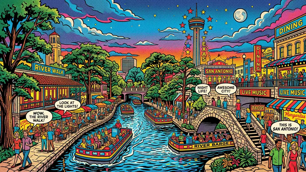
River Walk in San Antonio is a sunken promenade following the course of the San Antonio River through the Texan city, where paths, bridges and terraces sit below street level and wrap closely around the water. Conceived in the early twentieth century and built in stone during the late 1930s and early 1940s, it has grown into a continuous river corridor linked to parks and historic districts along the urban stretch of the river.
A river turned into a lower-level city street
At the centre of River Walk is the idea of using the river as a secondary ground plane, with a continuous path system running some distance below the surrounding streets and buildings. In downtown San Antonio the natural river bend was retained as part of the scheme, and walkways and plantings were installed along its banks as part of a flood-control and beautification programme supported by federal Works Progress Administration funding between 1939 and 1941.Works Progress Administration funding The result is a linear sequence of river-level spaces where the waterway functions not only as a piece of infrastructure but also as a pedestrian route lined with landscaping and stepped access.
The downtown section runs through the commercial core of San Antonio and is traditionally dated to the period between 1939 and 1941, when stone walkways, retaining walls and staircases were constructed along the river bend.groundbreaking for the River Walk At this point the river lies well below street level, which made it possible to build a separate pedestrian world that passes under bridges and alongside building foundations without interfering with traffic above.
From flood-control concept to extended river corridor
The origins of River Walk lie in flood-control discussions following a destructive flood of the San Antonio River in 1921, when water overwhelmed parts of the downtown area and prompted calls to turn the river into a storm channel. Out of that debate came the decision to retain the river bend and build a bypass channel instead, with architect Robert H. H. Hugman proposing a river-level promenade lined with shops and landscaping in 1929.architect Robert H. H. Hugman His plans combined flood-gates, dams and pools of water with pedestrian access, which later formed the basis of the riverfront scheme realised with federal support.
Construction of the original River Walk began in 1939 and the initial downtown stretch was completed and dedicated in 1941, creating a landscaped loop with staircases, footbridges and the Arneson River Theatre set along the banks.completed and dedicated in 1941 Over the following decades additional sections were added both upstream and downstream, and by the early twenty-first century the continuous corridor of paths and trails along the San Antonio River reached a length of around 15 miles (24 km), linking downtown San Antonio to Brackenridge Park in the north and to Mission Espada in the south.15 miles of walkways
Sections, materials and the layered experience of the river
River Walk today is often described in three broad sections along the river: the Downtown stretch that loops around the commercial core, the Museum Reach running towards cultural institutions to the north, and the Mission Reach extending southwards towards the historic Spanish colonial missions.Downtown, Museum Reach and Mission Reach Each section follows the water but passes through different urban fabrics, from dense blocks of hotels and offices around the loop to more open parkland and restored riverbanks in the outlying reaches.
The physical character of River Walk is defined by its stone edging, planted banks and frequent changes of level between street, terrace and path. In the historic core, staircases descend from plazas and bridges to the river, where the walkways run directly alongside the water and slip beneath the arches of crossing streets. Along Mission Reach, the river corridor opens out into wider green spaces and trails with a more natural embankment, connecting the downtown river-front to a landscape of missions and neighbourhood parks along the lower stretch of the San Antonio River.extension to Mission Espada
Visiting River Walk: what travellers from Western Europe should know
- River Walk follows the San Antonio River through central San Antonio in Texas, with the core loop lying below the streets of the downtown area and extended sections reaching Brackenridge Park and Mission Espada.
- The terrain on River Walk includes stepped access between street level and the river paths, with numerous staircases and ramps linking bridges, plazas and the lower walkways.
- The wider river corridor connects to parkland and historic sites along the Museum Reach and Mission Reach sections, where trails run through green spaces and alongside restored riverbanks.
- San Antonio lies in the United States; the official language is English and the currency is the US dollar.
- Entry requirements depend on your nationality; UK travellers can check the FCDO travel advice at gov.uk/foreign-travel-advice, Irish travellers the Department of Foreign Affairs at ireland.ie.
Searching for River Walk on social platforms
These links open searches for River Walk on each platform.
Frequently asked questions about River Walk
Where is River Walk and what does it follow?
River Walk is in San Antonio in Texas and follows the course of the San Antonio River through the downtown area and along extended park and trail sections upstream and downstream.
What can visitors expect on a walk along the river?
Visitors encounter stone-edged paths at river level, staircases descending from bridges and plazas, landscaped banks, river crossings and longer trails linking the central loop to parks and historic districts.
What makes River Walk distinctive among urban riverfronts?
River Walk is distinctive for its sunken layout below street level, its origins in early twentieth-century flood-control projects and its development in the late 1930s and early 1940s into a continuous promenade now extended to around 15 miles (24 km) of river corridor.


