
Rock Islands and the lagoon maze south of Koror
Published on 09/18/2026 at 17:18 | Editorial responsibility: Rafael Müller, Editor-in-Chief AD HOC NEWS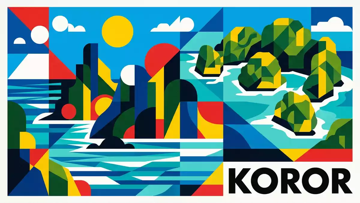
Rock Islands in Koror State, Palau, form a dense cluster of forested limestone domes rising from a shallow lagoon, an island landscape shaped as much by water as by rock. Recognised as the Rock Islands Southern Lagoon on the UNESCO World Heritage List in 2012, the area brings together uplifted coral limestone, clear Pacific water and dense tropical vegetation in one continuous maze.
Limestone domes in a protected lagoon
The Rock Islands stand in the Southern Lagoon between Koror and Peleliu, south of the larger volcanic island of Babeldaob, within the western Pacific archipelago of Palau.The property lies within Koror State and forms part of a broader seascape of barrier reefs and open ocean. From the deck of a boat the islands appear as rounded green masses, their limestone cores buried beneath dense forest that spills down towards the water.
The official World Heritage listing names the site Rock Islands Southern Lagoon and gives it an area of 100,200 ha, a predominantly marine protected zone that includes coral reefs, channels and shallow sand-floored basins as well as the islands themselves.The property covers 100,200 ha Within that area stand hundreds of uninhabited limestone islets, many of them undercut at the base where wave action has eaten into the rock, giving individual islands a profile that narrows towards the waterline and widens above it.
Coral limestone, forests and marine lakes
Geological descriptions treat the Rock Islands as coralline limestone masses uplifted over long periods by volcanic forces, then sculpted by rain, wind and waves into steep-sided ridges and domes.The islands are described as coralline limestone uplifted due to volcanism Their slopes carry dense tropical growth, so that the underlying pale rock appears in bands and ledges where cliffs break through the vegetation. Close up, the limestone reveals pockets, fissures and overhangs, the marks of solution and erosion in a humid maritime climate.
Within the same lagoon lie marine lakes enclosed by limestone walls and connected to the sea through channels or fissures in the rock. One of the best known is Jellyfish Lake on Eil Malk island, a salty basin inside one of the Rock Islands where golden jellyfish drift through stratified water.Jellyfish Lake sits inside one of the Rock Islands Scientists link these lakes to ancient reef systems and sea-level changes during the late Quaternary, when rising and falling water isolated pockets of lagoon and allowed distinct ecosystems to develop.
A mixed World Heritage landscape
The Rock Islands Southern Lagoon is inscribed on the UNESCO World Heritage List as a mixed site, recognised for both cultural and natural values under criteria (iii), (v), (vii), (ix) and (x).The inscription lists cultural and natural criteria The listing emphasises the combination of coral reefs, seagrass beds, channels, marine lakes and forested limestone islands, together forming a compact marine landscape south of Koror.
The same records note that the islands, known locally as Chelbacheb, hold traces of past settlement on some shorelines, along with rock art and archaeological remains.The Rock Islands are also called Chelbacheb At the same time, the islets themselves remain uninhabited in the usual sense, with steep slopes and limited flat ground separating pockets of former use from the open sea. Conservation plans prepared for Koror State describe the lagoon as a single managed unit, with zones for cultural sites, biological reserves and controlled tourism.
Visiting Rock Islands: what travellers from Western Europe should know
- Rock Islands lie south of the town of Koror in Palau’s Southern Lagoon and are reached by boat from Koror’s harbour areas, crossing channels between the main islands.
- The terrain consists of steep limestone slopes and narrow shorelines, and reaching viewpoints or interior lakes can involve stairways or trails over uneven rock and forest roots.
- The marine setting means that much of any visit takes place on or in the water, with transfers between boats, beaches and floating platforms rather than paved quays.
- The official language is Palauan and the currency is the United States dollar (USD).
- Entry requirements depend on your nationality; UK travellers can check the FCDO travel advice at gov.uk/foreign-travel-advice, Irish travellers the Department of Foreign Affairs at ireland.ie.
Searching for Rock Islands on social platforms
These links open searches for Rock Islands on each platform.
Frequently asked questions about Rock Islands
Where are Rock Islands located?
Rock Islands lie in the Southern Lagoon of Palau, within Koror State, south of Babeldaob and between the main islands of Koror and Peleliu.
What kind of landscape can visitors expect?
Visitors encounter forested limestone domes rising sharply from clear lagoon water, with cliffs, caves, narrow beaches and enclosed marine lakes within the same seascape.
What makes Rock Islands distinctive?
The area is recognised as the Rock Islands Southern Lagoon, a mixed UNESCO World Heritage Site where uplifted coral limestone, tropical forest and diverse marine habitats meet.


