
Rocky Mountain National Park above the tree line
Published on 09/22/2026 at 09:26 | Editorial responsibility: Rafael Müller, Editor-in-Chief AD HOC NEWS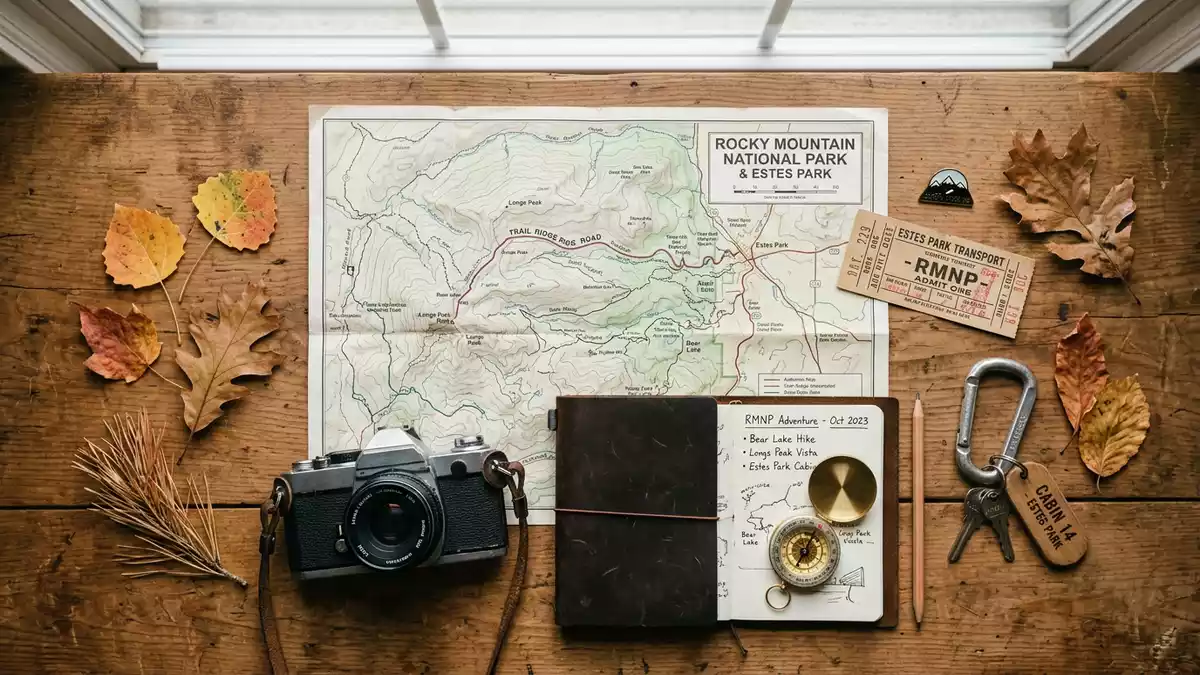
Rocky Mountain National Park stretches west from Estes Park across the Continental Divide, changing from mountain forests to alpine tundra above the tree line. Longs Peak, rising to 4,346 m (14,259 ft), forms the park’s highest summit and gives the landscape its clearest vertical scale.
From Estes Park to the alpine tundra
Established on 26 January 1915, Rocky Mountain National Park covers about 415 square miles (1,076 sq km) in north-central Colorado. The park lies within the southern Rocky Mountains, with Estes Park as a principal gateway on the eastern side and Grand Lake on the western side.
The Continental Divide crosses the park from north-west to south-east. Its ridges separate watersheds flowing towards the Atlantic and Pacific oceans. The divide is not a distant backdrop here; it is part of the park’s central geography, crossing high passes and mountain terrain. the Continental Divide appears among the park’s defining natural features.
Longs Peak and the park’s vertical scale
Elevation in Rocky Mountain National Park ranges from roughly 2,390 m (7,840 ft) at Beaver Meadows to 4,346 m (14,259 ft) at Longs Peak. Between these levels lie meadows, pine forests, subalpine woodland, alpine lakes and exposed mountain ridges.
Trail Ridge Road crosses the park between Estes Park and Grand Lake, reaching 3,713 m (12,183 ft). It is the highest continuous paved highway in North America and passes through alpine tundra above the tree line. The road’s high route places forests, rock fields and open tundra within one connected mountain landscape. Trail Ridge Road’s elevation is recorded among the park’s principal statistics.
Forests, wildlife and a protected mountain landscape
Lower elevations contain montane environments with ponderosa pine, lodgepole pine, aspen and open meadows. Subalpine areas contain Engelmann spruce and fir, while the alpine zone has low plants, exposed rocks and thin soils. Each belt has its own combination of vegetation and animal life.
Elk, bighorn sheep, marmots, pikas and white-tailed ptarmigan belong to the park’s wildlife. Alpine plants remain close to the ground, and some survive in dense mats among lichen-covered rocks. Rocky Mountain National Park also contains designated wilderness, historic structures, archaeological sites and routes that record human movement through the mountains.
Naturalist Enos Mills, an Estes Park resident, campaigned for the creation of the park before its establishment in 1915. The park’s history also includes the ancestral homelands of the Ute, Arapaho and Cheyenne, whose relationships with these mountains extend across centuries. the park’s early history places it on the eastern side of the Continental Divide in north-central Colorado.
Visiting Rocky Mountain National Park: what travellers from Western Europe should know
- The eastern entrances lie near Estes Park and are reached by US Highway 36 and US Highway 34. Trail Ridge Road crosses the park towards Grand Lake.
- High routes reach alpine elevations, and the terrain includes steep trails, exposed rock, thin air and rapid changes in mountain conditions.
- The park contains meadows, forests, alpine lakes, tundra and mountain peaks. Longs Peak reaches 4,346 m (14,259 ft).
- The official language is English and the currency is the United States dollar.
- Entry requirements depend on your nationality; UK travellers can check the FCDO travel advice at gov.uk/foreign-travel-advice, Irish travellers the Department of Foreign Affairs at ireland.ie.
Searching for Rocky Mountain National Park on social platforms
These links open searches for Rocky Mountain National Park on each platform.Frequently asked questions about Rocky Mountain National Park
Where is Rocky Mountain National Park?
Rocky Mountain National Park is in north-central Colorado, west of Estes Park and east of Grand Lake. The Continental Divide crosses the park.
What landscape does the park contain?
The park contains forests, meadows, alpine lakes, tundra and high mountain peaks. Trail Ridge Road crosses terrain reaching 3,713 m (12,183 ft).
What makes Rocky Mountain National Park distinctive?
Its connected elevation zones extend from montane forest to alpine tundra, with Longs Peak reaching 4,346 m (14,259 ft). The Continental Divide forms a central geographical feature.


