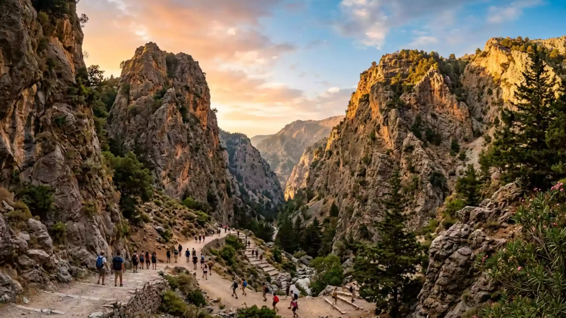
Samaria Gorge remains closed after 19 October
Published on 10/24/2026 at 18:37 | Editorial responsibility: Rafael Müller, Editor-in-Chief AD HOC NEWSClosure and access after October storms
- NECCA confirmed the Samaria National Park closure on 19 October 2026.
- Both Xyloskalo and Agia Roumeli entrances remain closed until inspections are complete.
- The route begins at 1,200 metres on the Omalos plateau and reaches Agia Roumeli after 16 kilometres.
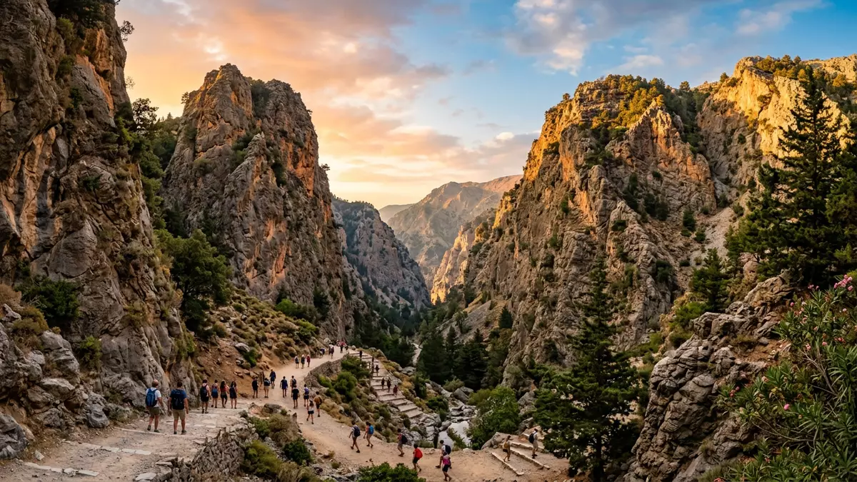
Samaria Gorge in Chania, Greece, remains closed after a 19 October 2026 access restriction, with the national park authority requiring inspections before reopening. The closure affects the main hiking route and both entrances, making the gorge unavailable to visitors during the current autumn travel period.
Samaria Gorge closure continues after 19 October
The website operated by the Samaria Gorge National Park announced that the gorge would be closed on Monday 19 October 2026. That notice followed a series of weather-related interruptions during the month and directed visitors to check for further changes.
The Natural Environment and Climate Change Agency, known as NECCA, now states on its official ticketing page that the gorge remains closed from both entrances until further notice. The agency says the route will reopen only after the required inspections have been completed, with another announcement to give the reopening date. The official closure notice therefore gives travellers no reopening day to plan around.
Storm inspections affect the route through Crete
The current restriction concerns the northern entrance at Xyloskalo and the southern entrance at Agia Roumeli. It also means that a visitor cannot simply use the lower section from the coastal side while the full route is unavailable.
Samaria Gorge is a long mountain passage through western Crete. The Greek National Tourism Organisation describes the gorge itself as 12.5 kilometres long, while the complete route to the beach at Agia Roumeli measures 16 kilometres. The trail starts on the Omalos plateau at 1,200 metres above sea level before descending towards the Libyan Sea.
Those physical features explain why an inspection matters after severe weather: the route includes steep sections, ravines, streams and bridges that are removed during winter. The national tourism board also records that the path crosses the Lefka Ori National Forest and connects the mountain entrance with the coastal settlement. Its Samaria Gorge visitor information places the site within the wider natural landscape of Chania.
Visiting Samaria Gorge: what travellers from Western Europe should know
- The relevant closure date is 19 October 2026, and the national park remains closed from both entrances while NECCA inspections are pending.
- There is no confirmed reopening date. Travellers should not set out for Xyloskalo or Agia Roumeli expecting access to the gorge.
- The northern entrance is at Xyloskalo on the Omalos plateau, while the southern entrance is at Agia Roumeli on the Libyan Sea coast.
- The route is a mountain walk of 16 kilometres to Agia Roumeli, with the trail beginning at an altitude of 1,200 metres and passing through ravines and streams.
- When access is restored, the usual transport pattern described by the Greek National Tourism Organisation uses buses from Chania to Xyloskalo and a boat from Agia Roumeli towards Hora Sfakion, Loutro or Paleochora.
Searching for Samaria Gorge on social platforms
These links open searches for Samaria Gorge on each platform.
Frequently asked questions about Samaria Gorge
What has changed at Samaria Gorge?
The gorge is closed from both entrances until NECCA completes the required inspections. The closure followed the access restriction announced for 19 October 2026.
Where is Samaria Gorge and how do you get there?
It runs from Xyloskalo on the Omalos plateau to Agia Roumeli on the southern coast of Crete. The national tourism board describes bus access from Chania to Xyloskalo and boat connections from Agia Roumeli.
How long is the Samaria Gorge route?
The gorge itself is 12.5 kilometres long, while the full route to Agia Roumeli is 16 kilometres. The northern trailhead stands at 1,200 metres above sea level.