
Seven Mile Beach and the long westward sweep of Negril
Published on 09/23/2026 at 02:34 | Editorial responsibility: Rafael Müller, Editor-in-Chief AD HOC NEWS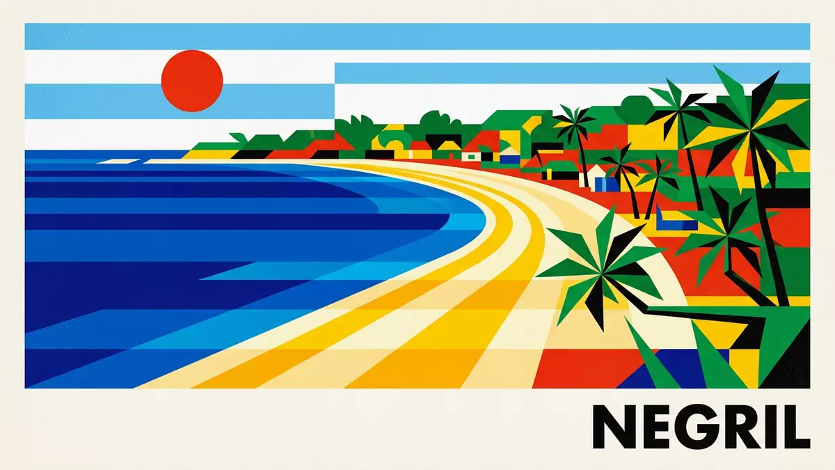
Seven Mile Beach follows Negril’s western shore as a long band of pale sand beside the Caribbean Sea. The name suggests an exact measurement, yet the beach belongs to a wider coastal landscape of bays, palms, reefs and low development, with its southern and northern sections known through Negril’s changing shoreline.
Seven Mile Beach: a name longer than a measurement
Seven Mile Beach is the informal name for Negril’s principal sandy coast. Its length is commonly given as roughly 7 miles, or about 11 kilometres, although the figure depends on where the shoreline is measured. The beach is associated with Long Bay and Bloody Bay, which together form the continuous coastal setting called Seven Mile Beach.
Negril occupies Jamaica’s western tip, across Westmoreland and Hanover parishes. The beach lies beside Norman Manley Boulevard, while the town’s West End continues south towards cliffs and the Negril Lighthouse. The shoreline therefore belongs to a larger coastal town rather than an isolated strip of sand. Negril’s western setting includes bright sand, palms and cliff scenery.
From remote village to Jamaican resort coast
Negril’s name comes from the Spanish form Negrillo, recorded in 1494. Two explanations connect the name with the area’s dark cliffs or black eels, but the Spanish origin itself belongs to the town’s established historical identity.
For much of the early twentieth century, Negril remained a sparsely inhabited fishing village on Jamaica’s remote west coast. The Great Morass separated the settlement from inland communities, and access improved after a surfaced highway linked Negril with Lucea and Montego Bay in 1959. The first resort opened in 1965, while formal resort development expanded during the 1970s.
The beach became the visible centre of that change. Small hotels, guest houses and resort cottages appeared beside the sand, followed by larger properties along the northern shore. This history gives Seven Mile Beach two distinct identities: a working Jamaican coastal landscape and a resort corridor shaped during the twentieth century. Negril’s tourism history records the transition from an isolated fishing village to a major resort town.
Sand, palms, reef and the wider Negril coast
The beach presents a simple horizontal composition: pale sand at the water, palms and tropical vegetation inland, and accommodation, restaurants and beach businesses along the settled shore. The coastline is open and low across the beach section, while Negril’s southern West End introduces limestone cliffs and elevated viewpoints.
Offshore reef systems form part of the marine environment around Negril. The Negril Marine Park was declared on 4 March 1998 and covers maritime areas extending from Hanover towards Westmoreland. Its protected setting connects the beach with coral habitats, shallow coastal water and the wider ecological character of Jamaica’s western shore.
Seven Mile Beach is therefore more than a length of sand. It is a named coast within a town, a meeting point between beach tourism and Jamaican settlement, and a landscape linked to wetlands, reefs, cliffs and the Caribbean Sea. The long sweep remains the defining visual element, while its history is carried by Negril’s roads, businesses and shoreline communities.
Visiting Seven Mile Beach: what travellers from Western Europe should know
- Seven Mile Beach lies along Norman Manley Boulevard in Negril, at Jamaica’s western tip. Sangster International Airport in Montego Bay is the principal international gateway, and road transfers continue west towards Negril.
- The beach is a long coastal walk on sand, with access points beside hotels, restaurants and beach businesses. The southern West End has limestone cliffs and uneven ground rather than a flat beach surface.
- The official language is English and the currency is the Jamaican dollar.
- Negril’s beach coast lies beside the Great Morass, while the Negril Lighthouse and West End cliffs are nearby landmarks south of the main beach.
Searching for Seven Mile Beach on social platforms
These links open searches for Seven Mile Beach on each platform.
Frequently asked questions about Seven Mile Beach
Where is Seven Mile Beach?
Seven Mile Beach is in Negril, on Jamaica’s western tip. It runs beside Norman Manley Boulevard, with Bloody Bay to the north and the West End cliffs to the south.
What is a visit to Seven Mile Beach like?
The beach combines pale sand, palms, shallow coastal water and a long settled shoreline. Restaurants, hotels and beach businesses appear along the coast, while limestone cliffs mark the southern West End.
What makes Seven Mile Beach distinctive?
Its distinctive feature is the broad length suggested by its name, linked to Long Bay and Bloody Bay. The beach also forms part of Negril’s wider setting of reefs, wetlands, cliffs and Jamaican resort history.


