
Thingvellir, where Iceland’s parliament meets the Mid-Atlantic Rift
Published on 09/17/2026 at 11:57 | Editorial responsibility: Rafael Müller, Editor-in-Chief AD HOC NEWS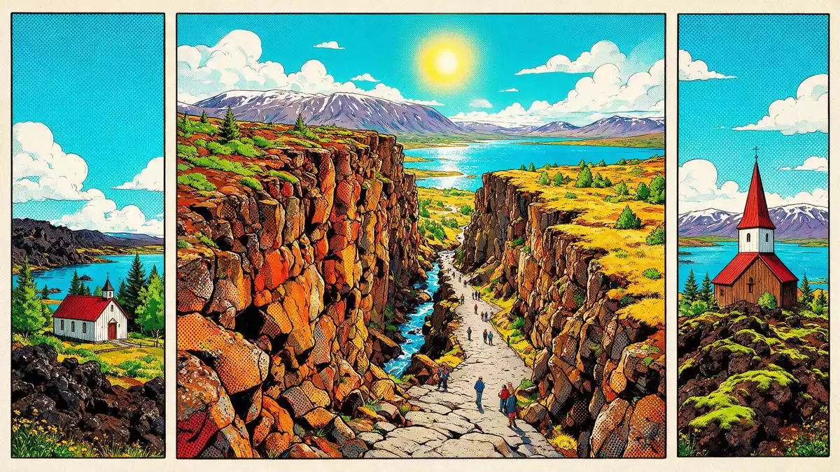
Thingvellir in Iceland is one of the rare places where a nation’s political history and a striking tectonic landscape occupy the same ground. It lies in the Thingvellir rift valley, part of the Mid-Atlantic Ridge, and is closely associated with the open-air Alþing parliament that first met there in 930 and continued until the late eighteenth century, giving the site a central role in Icelandic identity.
A parliament field in a widening rift
The core of Thingvellir is the historic assembly field of the Alþing, the open-air general assembly that brought together representatives from across Iceland. The Alþing was established at Thingvellir in 930 and sessions were held there until 1798, creating what is widely recognised as one of the oldest parliamentary traditions in the world.established at Thingvellir in 930 The meeting place lay on a plain framed by lava, fissures and low hills, where laws were recited and disputes settled under open skies.
Thingvellir’s political role and its landscape are intertwined. The name itself translates as “assembly field” and the site later became the focus of national commemoration when it was protected as Iceland’s first national park in 1930, marking the thousandth anniversary of the Alþing’s founding.first national park in 1930 Visitors walking across the grassy plain still encounter named features such as the Law Rock and traces of booths where chieftains once stayed, even though most early structures have long disappeared.annual meeting place of the Althing
Cliffs, fissures and the Mid-Atlantic Ridge
Thingvellir sits in a rift valley that marks the crest of the Mid-Atlantic Ridge and the boundary between the North American and Eurasian tectonic plates.boundary between tectonic plates The valley forms a classic graben, a trough fault that is gradually subsiding as the plates move apart.classic instance of a graben Lava fields fill much of the depression, overlain by fissures where the land has cracked and dropped.
The most visible feature for many travellers is Almannagjá, a broad gorge that runs along one side of the valley and forms a natural route down to the plain.Norse/Germanic archaeological site Parallel faults, including Heiðargjá, bound a zone several kilometres wide where tectonic movement is recorded. The land is covered with lava that dates to around 10,000 years ago, linked to shield volcano eruptions near Hrafnabjörg and mount Skjaldbreiður that sent flows across the depression.lava from shield eruptions Fissures continue to form as the plates drift apart and earthquakes occur from time to time in the area.tectonic movements in the graben
Lake Thingvallavatn and the water-filled fissure of Silfra
On the eastern side of the valley lies Lake Thingvallavatn, Iceland’s largest natural lake, filling part of the depression created by glacial and volcanic processes.formation of Lake Þingvallavatn The lake began to form as glaciers retreated from the area around 12,000 years ago, leaving a basin where meltwater collected.
Among the ravines that cut into the lake’s edge, Silfra has become the best known. It is one of many fissures in a several kilometre wide zone between the edges of the North American plate and the Hreppar microplate, intercepting a major aquifer that feeds springs at its base.Silfra fissure in Lake Þingvallavatn Silfra lies within Thingvellir National Park, at the rim of the lake, and its clear water and rock walls reveal the underlying fractures of the rift landscape.Silfra lies in the Thingvellir valley
Visiting Thingvellir: what travellers from Western Europe should know
- Thingvellir lies east of Reykjavík in south-west Iceland, reached by road across the interior plateau and forming a key stop on the Golden Circle route.
- The terrain combines uneven lava fields, stepped paths and short climbs along the Almannagjá gorge, with boardwalks and footpaths crossing the assembly plain and lake shore.
- The park is in Iceland; the official language is Icelandic and the currency is the Icelandic króna.
- Entry requirements depend on your nationality; UK travellers can check the FCDO travel advice at gov.uk/foreign-travel-advice, Irish travellers the Department of Foreign Affairs at ireland.ie.
Searching for Thingvellir on social platforms
These links open searches for Thingvellir on each platform.Frequently asked questions about Thingvellir
Where is Thingvellir?
Thingvellir is a national park in south-west Iceland, in a rift valley east of Reykjavík that forms part of the Mid-Atlantic Ridge boundary between tectonic plates.
What should visitors expect at Thingvellir?
Visitors encounter a combination of historic assembly remains, lava fields, cliffs and fissures such as Almannagjá, along with views over Lake Thingvallavatn and the wider volcanic landscape.
What makes Thingvellir distinctive?
Thingvellir stands out for the way an ancient open-air parliament site and an active tectonic rift valley share the same protected landscape, recognised through its inscription as a UNESCO World Heritage property.


