
Transfagarasan and the mountain road above Curtea de Arges
Published on 09/09/2026 at 14:13 | Editorial responsibility: Rafael Müller, Editor-in-Chief AD HOC NEWS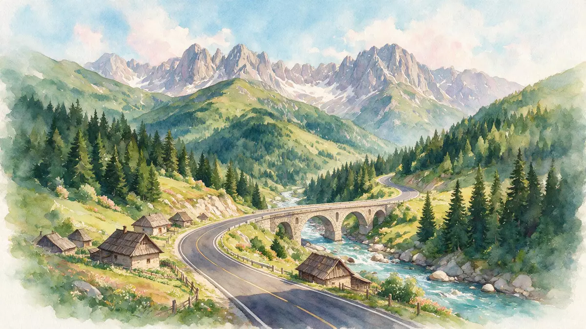
Transfagarasan is a paved mountain road in Romania that crosses the southern Carpathians and passes above Curtea de Arges. Its route is identified as DN7C and it reaches 2,042 m (6,699 ft) near Bâlea Tunnel.
A road cut across the Fagaras Mountains
The road runs through the Fagaras Mountains, part of the Carpathians, and links southern Romania with the Transylvanian side. It begins near Bascov, close to Pite?ti, and ends near Câr?i?oara, with Curtea de Arges on the southern approach.paved mountain road
The line of the road includes tight bends, long climbs and a tunnel near the highest point. The Fagaras range is the highest mountain range in Romania, and the road sits within that landscape rather than on an ordinary valley floor.highest mountain range
Concrete, water and high ground
South of the crest, the route passes the Vidraru Dam and the waters of Lake Vidraru. The road also reaches Bâlea Lake and Bâlea Waterfall, making water a recurring element along the mountain section.Vidraru Dam
The road has a strong engineering presence, with bridges, viaducts and several tunnels along its course. Its summit area lies high enough for the road to feel like a mountain passage rather than a low-altitude scenic drive.bridges and viaducts
Nicolae Ceau?escu and the 1970s route
The road was constructed in the early 1970s and opened in 1974. It is closely associated with Nicolae Ceau?escu, under whose rule the route was built as a strategic mountain crossing.opened in 1974
That history remains visible in the scale of the road itself. The long line of asphalt, the mountain curves and the high tunnel give Transfagarasan a character that belongs to roads as much as to landscapes.early 1970s
Visiting Transfagarasan: what travellers from Western Europe should know
- Transfagarasan is reached by road from Curtea de Arges on the southern side and by the DN1 corridor on the northern side. The route crosses the Fagaras Mountains and passes through mountain settlements and high passes.
- The terrain includes steep bends, long climbs and a tunnel near the highest part of the route. The road reaches 2,042 m (6,699 ft), so the mountain section is a high-altitude drive.
- Vidraru Dam and Lake Vidraru lie on the southern approach. Bâlea Lake and Bâlea Waterfall lie near the upper section of the road.
- The official language is Romanian and the currency is the Romanian leu. Entry requirements depend on your nationality; UK travellers can check the FCDO travel advice at gov.uk/foreign-travel-advice, Irish travellers the Department of Foreign Affairs at ireland.ie.
Searching for Transfagarasan on social platforms
These links open searches for Transfagarasan on each platform.
Frequently asked questions about Transfagarasan
Where is Transfagarasan?
Transfagarasan runs across the southern Carpathians in Romania, between the area near Bascov and the northern side near Câr?i?oara. Curtea de Arges lies on the southern approach.
What does a visit involve?
The road is a mountain drive with bends, tunnels and high viewpoints. It passes the Vidraru Dam, Lake Vidraru, Bâlea Lake and Bâlea Waterfall.
What makes it distinctive?
The road combines a 1970s engineering project with a high mountain setting and a direct crossing of the Fagaras Mountains. Its course, concrete structures and summit tunnel define its character.


