
Transfagarasan, the high mountain road above Curtea de Arges
Published on 09/18/2026 at 18:56 | Editorial responsibility: Rafael Müller, Editor-in-Chief AD HOC NEWS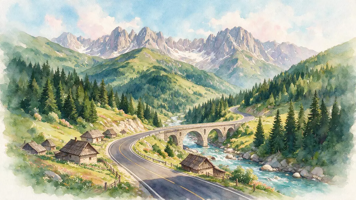
High above Curtea de Arges in central Romania, Transfagarasan climbs from the lowlands into the Fagaras Mountains as a bold strip of tarmac laid across the southern Carpathians. Conceived in the socialist period under Nicolae Ceausescu and officially opened in 1974, the DN7C mountain road links Muntenia on its southern side with Transylvania to the north.
A military road carved through the Fagaras range
Transfagarasan is officially designated DN7C, a national road that forces a passage through the southern section of the Carpathian chain between Arges County and Sibiu County. From the outskirts of Bascov near Pitesti, the alignment passes north of Curtea de Arges before turning into the valley that leads up towards the main crest of the Fagaras range.Designated DN7C The route then continues towards Cartisoara near Sibiu, creating a continuous paved crossing between the two historic regions.
Planning work for a strategic road across the mountains took shape in the late 1960s, and construction began around the turn of that decade with army engineering units working from both ends of the line. Under Ceausescu’s rule, the project became a major undertaking for the Romanian Army, which used heavy blasting and large quantities of explosives to cut a ledge into the steep rock and stabilise slopes for a carriageway.Construction began in 1970 The main works were completed in the first half of the 1970s, with an inauguration held on 20 September 1974 in the presence of Ceausescu, while finishing and surfacing works continued into 1980.Officially inaugurated in 1974
The road above Curtea de Arges: hairpins, tunnels and high peaks
From Curtea de Arges, DN7C follows the Arges valley as a conventional road before the terrain steepens and the alignment begins to cling to the flanks of the mountains. As it approaches the central section of the Fagaras range, the carriageway climbs to over 2,000 m (6,562 ft) at the plateau around Balea Lake, making Transfagarasan one of Romania’s highest paved roads through the Carpathians.Crossing the Fagaras Mountains The highest area lies close to the main crest, where several of the Fagaras peaks rise above 2,500 m (8,202 ft).
The ascent towards Balea Lake is marked by a tight sequence of hairpin bends stacked above one another on the northern side of the summit, creating a visually striking pattern when seen from viewpoints around the high pass. On the south side, the climb runs through a long road tunnel driven under the main ridge, linking two markedly different valleys and giving motorists an enclosed section before they emerge again into the open landscape.High-altitude hairpin section Along its length, the route crosses streams, skirts reservoirs and passes by Balea Lake, a natural mountain tarn set close to the crest of the range.
Transfagarasan in Romania’s wider landscape
Transfagarasan occupies a central position in Romania’s geography, linking the historical region of Wallachia in the south with Transylvania beyond the main divide of the Carpathians. Curtea de Arges lies on its southern approach, with the road continuing north towards Cartisoara near Sibiu, so that DN7C forms one of the direct crossings between the plains and the upland plateau.Connecting Curtea de Arges and Cartisoara In practical terms, the highway joins other major roads such as DN1 near its northern end, integrating the mountain section into the wider network.
The project belongs firmly to the twentieth century, with construction carried out between 1970 and 1974 and completion in its present sealed form around 1980. It stands alongside other Carpathian crossings as one of the more ambitious examples of socialist-era infrastructure, reflecting the resources that were committed to creating a paved line through steep rock and high-altitude terrain.Built between 1970 and 1974 The combination of its military origin, its elevation and the way it threads through the Fagaras Mountains has made DN7C a recognisable feature of Romania’s central landscape.
Visiting Transfagarasan: what travellers from Western Europe should know
- Transfagarasan lies in central Romania, running between Bascov in Arges County and the junction with DN1 near Cartisoara in Sibiu County, with Curtea de Arges on its southern side. Road access is by car or coach from towns such as Pitesti, Curtea de Arges, Sibiu and Brasov along the connecting highways.
- The high section of DN7C crosses steep mountain terrain, with sustained gradients, sharp bends and stretches exposed to the weather at elevations above 2,000 m (6,562 ft). Travellers encounter a sequence of bends, a long tunnel and roadside areas where stopping is possible only in designated spaces.
- Balea Lake sits close to the highest point of the road, and the surrounding area combines paved surfaces with rocky ground and alpine vegetation. Footpaths around the lake involve uneven surfaces and short climbs over stones and earth.
- The official language is Romanian and the currency is the leu.
- Entry requirements depend on your nationality; UK travellers can check the FCDO travel advice at gov.uk/foreign-travel-advice, Irish travellers the Department of Foreign Affairs at ireland.ie.
Searching for Transfagarasan on social platforms
These links open searches for Transfagarasan on each platform.
Frequently asked questions about Transfagarasan
Where is Transfagarasan in Romania?
Transfagarasan runs through central Romania, crossing the Fagaras Mountains between Arges County in Muntenia and Sibiu County in Transylvania, with Curtea de Arges on its southern approach.
What should travellers expect on a visit?
Travellers encounter a high-altitude mountain road with sustained gradients, sharp hairpin bends, a long tunnel under the main ridge and sections exposed to alpine weather, including the area around Balea Lake.
What makes Transfagarasan distinctive among Romanian roads?
The road combines a twentieth-century military origin under Nicolae Ceausescu with a high crossing of the Fagaras Mountains, using hairpin sequences and a summit tunnel to thread DN7C through steep Carpathian terrain.


