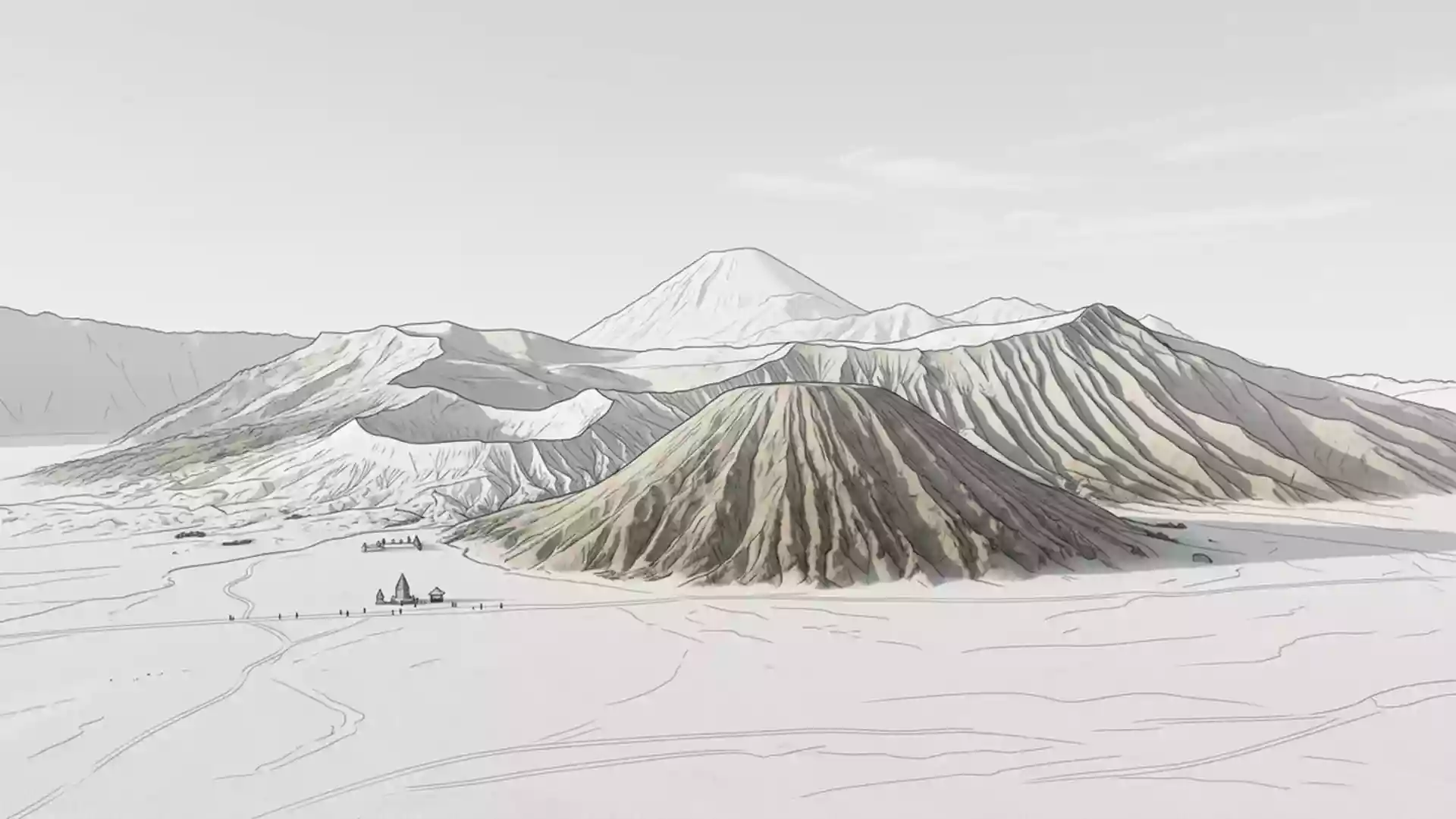
Visitors face crater limits at Mount Bromo after 5 November eruption
Published on 11/14/2026 at 13:51 | Editorial responsibility: Rafael Müller, Editor-in-Chief AD HOC NEWSSafety limits and volcanic activity
- The 5 November 2026 eruption prompted a one-kilometre crater restriction from Bromo Tengger Semeru National Park.
- Probolinggo's disaster agency began remapping evacuation routes and shelters after the eruption.
- The ash column rose 500 metres above a 2,329-metre summit, reaching 2,829 metres above sea level.
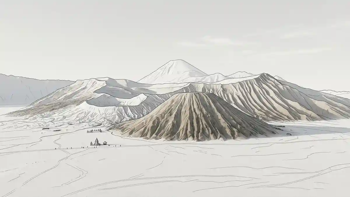
Visitors face new crater limits at Mount Bromo after an eruption on 5 November 2026, while the tourism area in Probolinggo Regency, Indonesia, remains open beyond the restricted zone. The volcano's local name is used by Indonesian authorities, but the current visitor rule applies to the active crater and nearby ground.
Mount Bromo eruption brings a one-kilometre limit
The eruption took place at 5.11pm on 5 November 2026 and produced a grey ash column about 500 metres above the summit. The event was the volcano's first recorded eruption of 2026, according to reporting by Kompas.
Bromo Tengger Semeru National Park tightened monitoring after the eruption and restricted residents and visitors from entering a one-kilometre radius around the active crater. The restricted area includes the steps leading towards the crater and part of the Sea of Sand, so a visit can continue only outside those boundaries. The park itself was not closed immediately after the event.
The restriction remains linked to the volcano's Level II alert status. Officials have also warned that sudden phreatic eruptions can occur without clear preceding signs. The rule therefore changes the central crater visit, rather than ending access to the wider tourism landscape.
How the eruption affects Mount Bromo visits
Mount Bromo rises to 2,329 metres, while the summit reaches 2,829 metres above sea level when measured from the surrounding terrain. The November ash column reached the higher figure, and monitoring reports described grey emissions drifting westwards.
Probolinggo's Disaster Mitigation Agency began remapping evacuation routes and shelters after the eruption, preparing for a possible renewed event. The agency was coordinating with the Bromo Volcano Observatory and national park officials, as Antara reported on the response.
That response connects the visitor restriction with the wider landscape: the crater boundary is a safety measure inside a national park where evacuation planning is also being reviewed. For travellers, the practical distinction is between the accessible tourism area and the active crater zone, not between an open and a fully closed park.
Visiting Mount Bromo: what travellers from Western Europe should know
- The relevant event occurred on 5 November 2026 at Mount Bromo in Probolinggo Regency, when the volcano produced an ash column about 500 metres above its summit.
- Tourism has not been fully closed, but visitors must remain outside the one-kilometre radius around the active crater, including the crater steps and part of the Sea of Sand.
- The site is in East Java, Indonesia, and visitor access remains subject to instructions from Bromo Tengger Semeru National Park officials and the current volcanic alert.
Searching for Mount Bromo on social platforms
These links open searches for Mount Bromo on each platform.
Frequently asked questions about Mount Bromo
What happened at Mount Bromo on 5 November 2026?
The volcano erupted at 5.11pm and sent an ash column about 500 metres above the summit. The event was the first recorded eruption there in 2026.
What has changed at Mount Bromo?
Visitors are barred from a one-kilometre radius around the active crater, while the wider tourism area remains open under park safety instructions.
Where is Mount Bromo and how do you get there?
Mount Bromo is in Probolinggo Regency, East Java, within Bromo Tengger Semeru National Park. Access conditions depend on the park's current volcanic safety guidance.