
Wadi al-Muluk in Luxor and the valley of royal tombs
Published on 09/17/2026 at 09:05 | Editorial responsibility: Rafael Müller, Editor-in-Chief AD HOC NEWS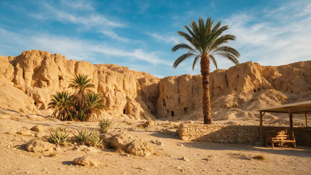
Wadi al-Muluk in Luxor, known in English as the Valley of the Kings, is a dry desert wadi on the west bank of the Nile where Egypt’s New Kingdom rulers cut their tombs deep into the rock. Set within the wider landscape of ancient Thebes, it forms part of the World Heritage site inscribed in 1979 for its royal necropolis and monumental temples.
A royal necropolis in the Theban hills
Wadi al-Muluk lies in the Theban hills on the western side of the Nile, opposite the modern city of Luxor in southern Egypt, within the wider Theban Necropolis that lines the river’s west bank.Valley of the Kings The valley is a natural wadi, a desiccated riverbed cutting into the limestone and marl of the hills, enclosed by steep, pale slopes and dominated by the distinctive pyramidal peak of el-Qurn above the burial ground.long narrow defile The necropolis forms part of the World Heritage site of ancient Thebes, which UNESCO recorded in 1979 together with Karnak, Luxor and the Valley of the Queens.World Heritage site of ancient Thebes
The burial ground is closely linked to the rise of the New Kingdom, when Thebes became a political and religious centre and kings began to favour hidden tombs cut into rock rather than free-standing pyramids on the desert edge.New Kingdom rulers were buried The valley itself lies some kilometres west of the river floodplain, reached by a road that climbs into the barren hills from the cultivated strip beside the Nile. High, eroded walls of stratified rock frame the approach, and the tomb entrances are set into the base of these slopes rather than rising as independent structures.
New Kingdom tombs cut into rock
The core of Wadi al-Muluk is its concentration of rock-cut tombs excavated for rulers of the eighteenth, nineteenth and twentieth dynasties, from Thutmose I to Ramesses X, who reigned between the sixteenth and eleventh centuries BC.from Thutmose I to Ramses X Archaeologists have identified more than sixty tombs and pits in the valley, often designated by the prefix KV followed by a number, such as KV17 for Seti I or KV62 for Tutankhamun.64 Gräber und Gruben Many of these tombs descend through the hillside in sequences of corridors and chambers whose walls are covered with painted reliefs from funerary texts.
The tombs vary widely in plan and scale, from relatively short shafts with a few chambers to extensive complexes with long stairways, pillared halls and deep burial rooms cut far beneath the valley floor.62 known tombs exhibit variety Decoration ranges from simple, schematic images to densely painted scenes filled with hieroglyphic texts, deities and protective symbols, reflecting changes in royal taste and religious emphasis from the early eighteenth dynasty onwards.Begräbnisstätte der Pharaonen des Neuen Reiches The tomb of Tutankhamun, KV62, is the best-known example, discovered in the twentieth century with much of its burial equipment intact, although its chambers are relatively modest compared with those of some longer-reigning kings.
Wadi al-Muluk within ancient Thebes
Wadi al-Muluk forms part of a broader funerary landscape that includes other royal burial grounds, such as the Valley of the Queens, and extensive temple complexes like Karnak and Luxor on the east bank.part of the Theban Necropolis The valley stands behind the cliff of Deir el-Bahari and below the prominent peak of el-Qurn, linking visually with terraced temple sites and the plateau of the western hills.am Fuße des pyramidenförmigen Bergmassivs el-Qurn Together these elements form a connected ritual topography in which temples on the river plain, processional ways and hillside tombs relate to one another across the landscape.
Historically, the valley’s tombs were part of a complex system of royal mortuary cults in which the king’s burial chamber was separated from his temple dedicated to posthumous rites nearer the cultivated land. Access routes from the Nile’s west bank run past fields and villages before reaching the sterile slopes, marking a transition from fertile floodplain to rocky necropolis that remains clear in the physical geography of the site.desolate dry river valley across the river
Visiting Wadi al-Muluk: what travellers from Western Europe should know
- Wadi al-Muluk lies on the west bank of the Nile opposite Luxor in southern Egypt, reached by crossing the river and following the road network that serves the Theban Necropolis and the Valley of the Kings.
- The valley is set in a barren desert wadi enclosed by steep hills; visiting the tomb zone involves walking on hard, sun-exposed paths between the visitor facilities and the entrances cut into the rock.
- The wider area includes other major sites such as the temple terraces of Deir el-Bahari and the mortuary temples that line the edge of the cultivated floodplain below the western hills.
- The official language is Arabic and the currency is the Egyptian pound.
- Entry requirements depend on your nationality; UK travellers can check the FCDO travel advice at gov.uk/foreign-travel-advice, Irish travellers the Department of Foreign Affairs at ireland.ie.
Searching for Wadi al-Muluk on social platforms
These links open searches for Wadi al-Muluk on each platform.
Frequently asked questions about Wadi al-Muluk
Where is Wadi al-Muluk located?
Wadi al-Muluk is on the west bank of the Nile opposite Luxor in southern Egypt, within the Theban Necropolis that stretches along the river’s western side.
What can visitors expect at Wadi al-Muluk?
Visitors encounter a desert wadi framed by limestone hills, with a cluster of rock-cut tomb entrances, modern visitor facilities and paths linking the main tomb zones.
What makes Wadi al-Muluk distinctive among Egyptian sites?
The valley concentrates royal tombs from the New Kingdom carved into the Theban hills rather than built as pyramids, forming a dense royal necropolis within a single natural wadi.


