
Wahat Siwa and its basin of palms, salt and stone
Published on 09/07/2026 at 19:09 | Editorial responsibility: Rafael Müller, Editor-in-Chief AD HOC NEWS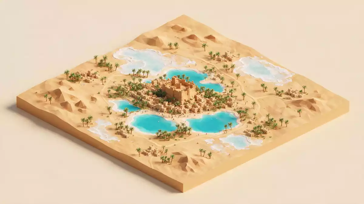
Wahat Siwa is an oasis basin in western Egypt, near Siwa and close to the Libyan frontier. Its defining scene is physical and immediate: palms, salt lakes, mud-brick settlements and low limestone ridges in one enclosed hollow.
The basin between desert formations
The oasis lies between the Qattara Depression and the Great Sand Sea, in Egypt’s Western Desert. It sits in Matrouh Governorate and lies about 560 km west-southwest of CairoMatrouh Governorate.
Britannica gives the oasis a size of about 10 km by 6–8 km, with around 200 springs and several old settlements on rock outcropsaround 200 springs. The result is a landscape of cultivated ground, salt water and desert margins rather than a single compact town.
Oracle, Amun and the older landscape
Wahat Siwa is closely tied to the Oracle of Amun, the sanctuary that made the oasis known in antiquity. The remains of the oracle temple lie in the ruins of Aghurmi, and the site is linked to Alexander the Great and William George BrowneOracle of Amun.
The ancient Egyptian name Sekht-am meant “palm land”, which suits the oasis’ agricultural character. Palm groves, olive trees and small fields still define much of the interior, while mud-brick houses and older walls give the settled parts a rough, earthen texturepalm land.
Siwa’s mud-brick settlements and salt edges
The visible character of Wahat Siwa comes from contrast. Cultivated gardens, palm trunks and low houses sit beside pale salt flats and bare ridges, all within a depression that lies below sea levellies below sea level.
The mud-brick fabric of the oasis is part of the place’s identity, and the older quarters keep that material presence in view. Rock outcrops and low escarpments frame the settled basin, while the salt lakes occupy the lowest ground and sharpen the sense of enclosure.
Visiting Wahat Siwa: what travellers from Western Europe should know
- Wahat Siwa lies in Egypt’s Matrouh Governorate, west-southwest of Cairo and near the border with Libya. Overland access reaches the oasis through desert roads.
- The basin lies below sea level, and the approach involves the surrounding plateau dropping into a hollow of palms, salt lakes and low ridges.
- The official language is Arabic and the currency is the Egyptian pound.
- Entry requirements depend on your nationality; UK travellers can check the FCDO travel advice at gov.uk/foreign-travel-advice, Irish travellers the Department of Foreign Affairs at ireland.ie.
Searching for Wahat Siwa on social platforms
These links open searches for Wahat Siwa on each platform.
Frequently asked questions about Wahat Siwa
Where is Wahat Siwa?
It is an oasis basin in western Egypt, near Siwa and close to Libya. The setting sits between the Qattara Depression and the Great Sand Sea.
What does a visit to Wahat Siwa involve?
The place is defined by a low desert basin, cultivated palms, salt lakes and mud-brick settlements. The terrain is open and layered rather than urban in the ordinary sense.
What makes Wahat Siwa distinctive?
Its association with the Oracle of Amun, its below-sea-level basin and its palm-rich oasis landscape give it a clear identity. The name Sekht-am, meaning “palm land”, matches that character.


