
Qal'at al-Bahrain, a layered harbour mound on Bahrain’s coast
Published on 09/18/2026 at 09:31 | Editorial responsibility: Rafael Müller, Editor-in-Chief AD HOC NEWS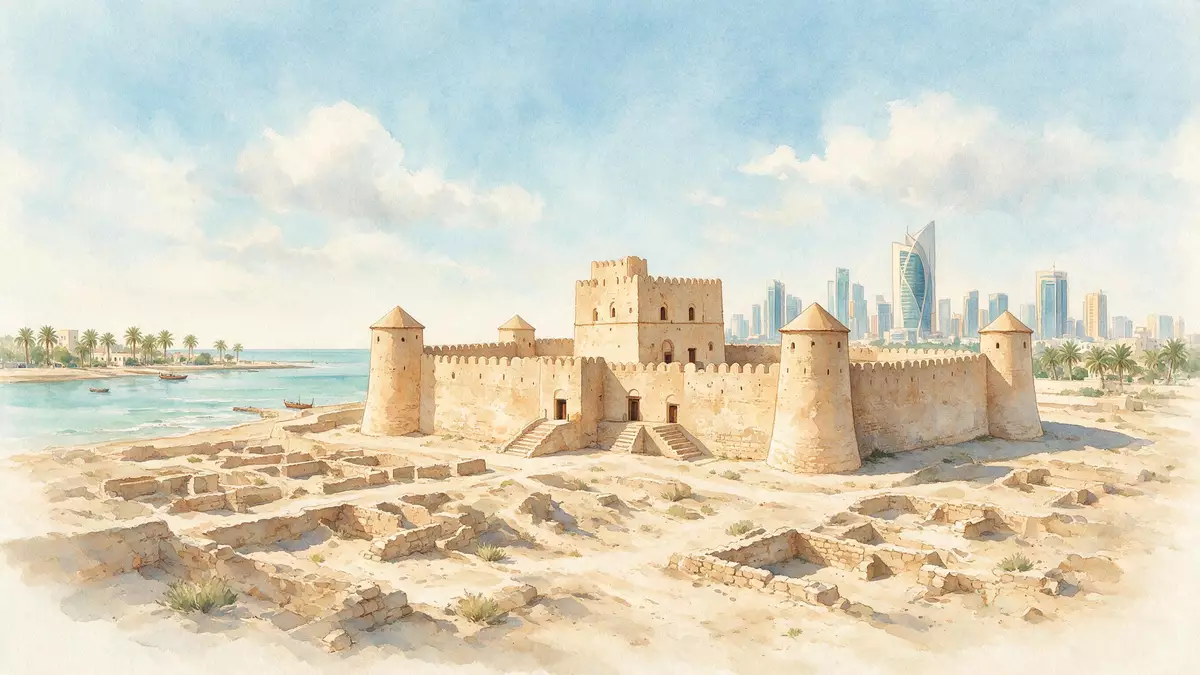
On the northern shore of Bahrain near Manama, Qal'at al-Bahrain brings together an ancient harbour city and a later stone fort on one broad archaeological mound. The site is recognised as a UNESCO World Heritage property under the name “Qal'at al-Bahrain – Ancient Harbour and Capital of Dilmun”, reflecting its long role as an urban centre in the Gulf.
A tell where Dilmun’s harbour city took shape
Qal'at al-Bahrain is a classic tell, an artificial hill built up over many successive layers of human occupation on the coast of the Arabian Gulf.typical tell Archaeological work has revealed that the stratified mound preserves remains of an urban settlement dating back to around 2,300 BC, making it one of the key Bronze Age sites in Bahrain.urban settlement dating
The World Heritage listing identifies Qal'at al-Bahrain as the ancient harbour and capital of the Dilmun civilisation, a culture known from Mesopotamian texts and now visible in stone and mudbrick on this coastal rise.ancient harbour and capital of Dilmun Across the excavated areas, archaeologists have documented residential quarters, public buildings, commercial spaces, religious structures and later military installations embedded in the mound, reflecting the site’s long life as a trading port and administrative centre.residential, public, commercial, religious and military
The Portuguese fort crowning the mound
The most immediately visible structure at Qal'at al-Bahrain is the fort that crowns the upper surface of the tell, a compact stone citadel whose name “qal'a” refers directly to a fortress.qal'a meaning fort The fort in its present form dates from the period of Portuguese influence in Bahrain, when the archipelago formed part of a wider network of strongholds across the Gulf intended to secure maritime routes.fort last developed by the Portuguese
Thick outer walls enclose a series of courtyards, passages and towers, standing above the excavated remains of the earlier city and facing towards the shoreline. Within the fort, visitors encounter successive restoration phases in stonework and brick, while around its base the outlines of streets and building foundations emerge from the sand, tying the conspicuous military structure to the lower, more fragmentary traces of earlier settlement.mound topped by a Portuguese fort
The wider World Heritage landscape by the sea
The World Heritage property extends beyond the fort and its immediate mound to include a broader coastal landscape on the northern side of Bahrain.archaeological site comprising four main elements The core element is the tell itself, covering more than 16 hectares beside the shoreline, but the inscription also encompasses a sea tower positioned off the coast, a channel cut through the reef near that tower, and adjacent palm groves that mark the transition from cultivated land to open water.sea tower, sea channel and palm-groves
This combination of mound, coastal waters and date palm cultivation frames Qal'at al-Bahrain as more than a single ruin. It reflects a harbour city that once linked inland settlements and oasis agriculture with maritime trade routes across the Gulf and beyond. The UNESCO inscription, dating from 2005, recognises this interplay between land and sea as central to understanding both Dilmun’s position in regional exchange and Bahrain’s longer historical trajectory.inscribed as a UNESCO World Heritage Site in 2005
Visiting Qal'at al-Bahrain: what travellers from Western Europe should know
- Qal'at al-Bahrain stands on the northern coast of Bahrain in the Capital Governorate, a short distance north-west of central Manama, and is reached by road through urban districts towards the shoreline.
- The archaeological mound forms a broad rise above surrounding ground, with walking routes that involve uneven surfaces and gentle gradients over compacted sand and exposed stone.
- The wider setting includes cultivated palm groves near the site and open views towards the Gulf, so sun exposure is a constant factor on the upper parts of the mound and the fort.
- The official language is Arabic and the currency is the Bahraini dinar.
Searching for Qal'at al-Bahrain on social platforms
These links open searches for Qal'at al-Bahrain on each platform.
Frequently asked questions about Qal'at al-Bahrain
Where is Qal'at al-Bahrain located?
Qal'at al-Bahrain lies on the northern coast of Bahrain near Manama, within the Capital Governorate, where the archaeological mound meets the shoreline.
What can visitors expect to see at the site?
Visitors encounter a coastal tell with exposed foundations of an ancient harbour city, crowned by a Portuguese-period fort with courtyards, towers and views over the Gulf.
What makes Qal'at al-Bahrain distinctive among Gulf heritage sites?
The combination of a multi-layered urban mound linked to the Dilmun civilisation, a later fort, a sea tower and palm groves gives Qal'at al-Bahrain an unusually complete harbour landscape.


